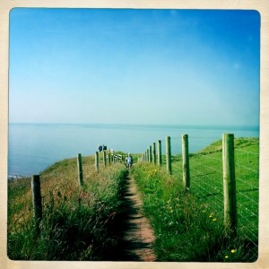
We were on the trail for 8 hours and 15 minutes, I covered almost 16 miles and climbed 2,280 feet. It was beautiful, but challenging. Some of the trail pushed the edge of my comfort: too high, too steep, a drop off the edge, and some did all three.
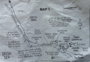
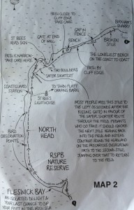
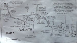
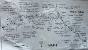
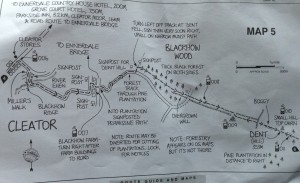
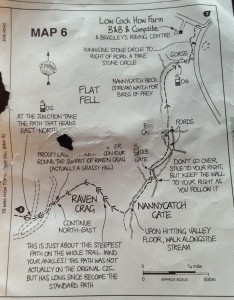
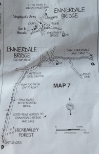
We used Henry Stedman’s book and I tore out the maps to use on the trail without the weight of the book. My copies were photographed after today’s use.
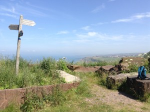
After walking along the cliff edge without a fence, I was very glad to stop, take off my backpack, and have a some water. Even along the coast it was quite hot.
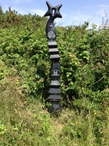
The Coast to Coast does not have the best signage. Without the detailed maps we used we could have easily gotten off course. The occasional signs letting us know we were on track were much appreciated.
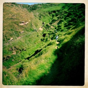
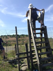
After climbing the gate the descent didn’t look too bad, but that quickly changed. Raven Claw is the steepest path of the whole trail. They say some people use a sturdy jacket and just slide down. Too hot for a jacket today so I prayed my ankles and knees would survive and slowly wade way way down. Too preoccupied to take a picture!
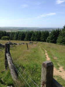
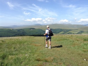
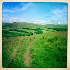
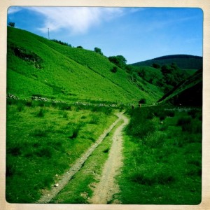
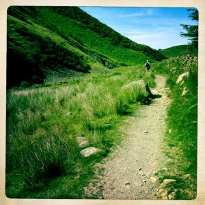
The first “leg” of your journey across Britain sounds very challenging to me. Can’t wait to read more but I’m beginning already to feel that I am happy merely reading about it (and looking at picutres) rather than actually trying to walk it. Love as always, Mikes
Looks like you’ve lucked out on the weather. The pictures are great.
Love to you and Tony.
“Only mad dogs and Englishmen go out in the noonday sun. “
Challenging. Yes, that’s the word. Withing the first hlf mile out of St Bees we were walking along a cliff edge, fifty to a hundred feet above the irish Sea, on a path literally (and below, littoraly) One foot wide. with nothing to our left but…the Irish Sea. Mary is the bravest person I know; she suffers from acrophobia and agoraphobia, and has been training hreself to take on this challenge. unfortunately, she hadn’t trained me and, like couples do, I have started taking on some of her traits, like…agorophobia and acrophobia…
We got through that and, ah! just a few miles through towns and then the opposite of it’s name, Dent. it goes up on a round dome, perhaps 1500 ft, and comes down on the backside. Considerably faster. Much faster. Relly steeply down.
once at the bottom, feeling, er, alive, we had to walk three and a half more miles before we found our village.