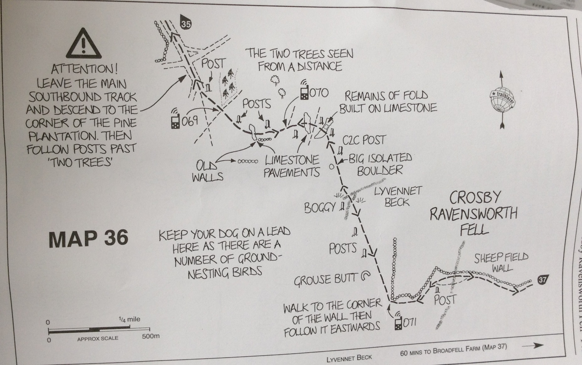
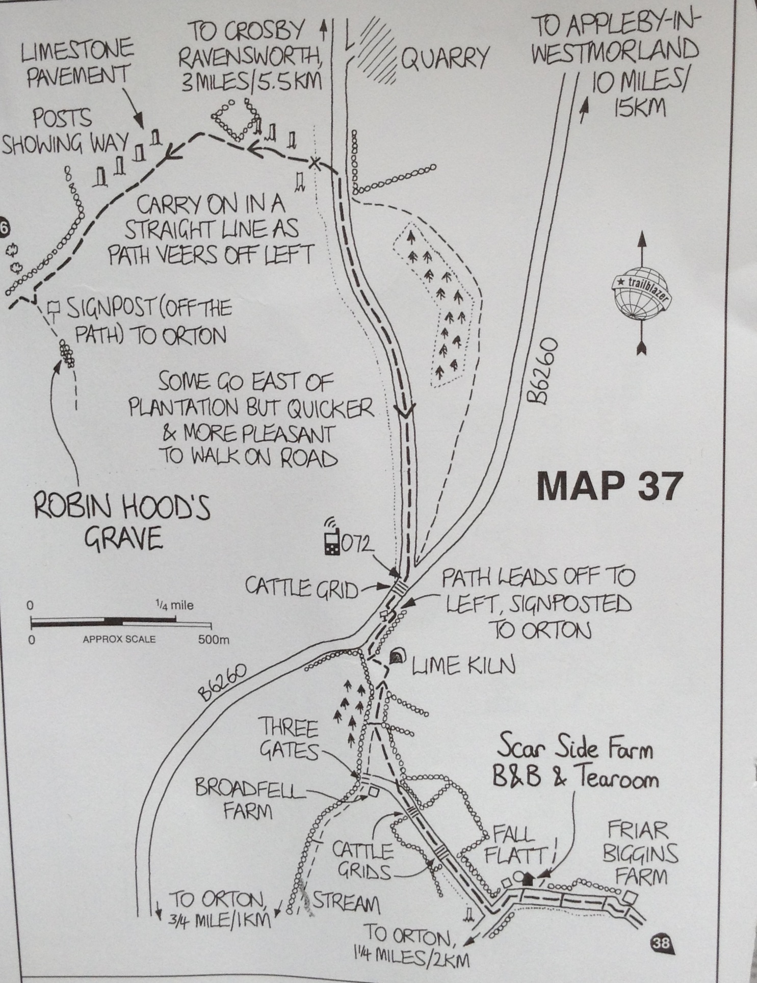
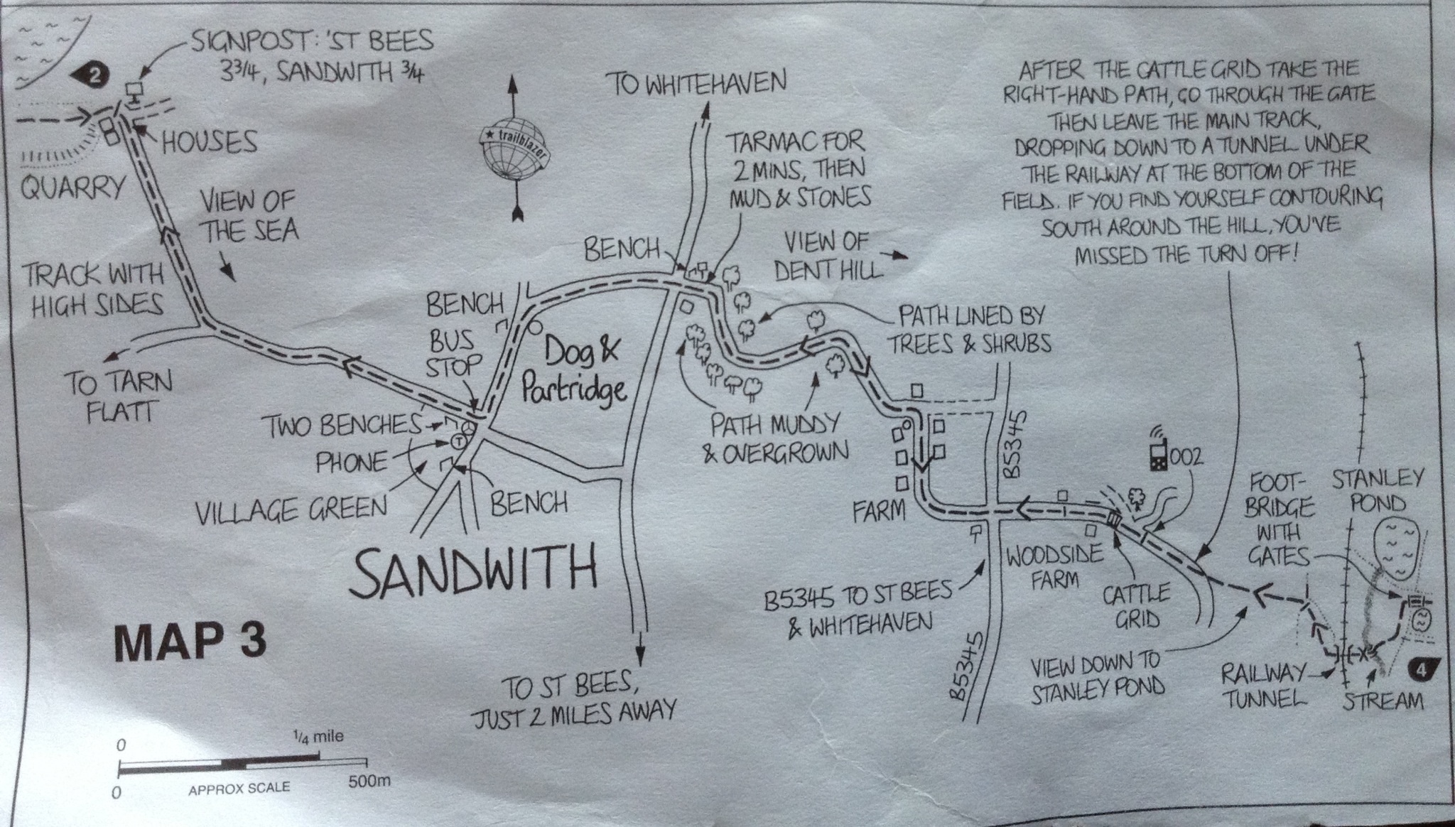
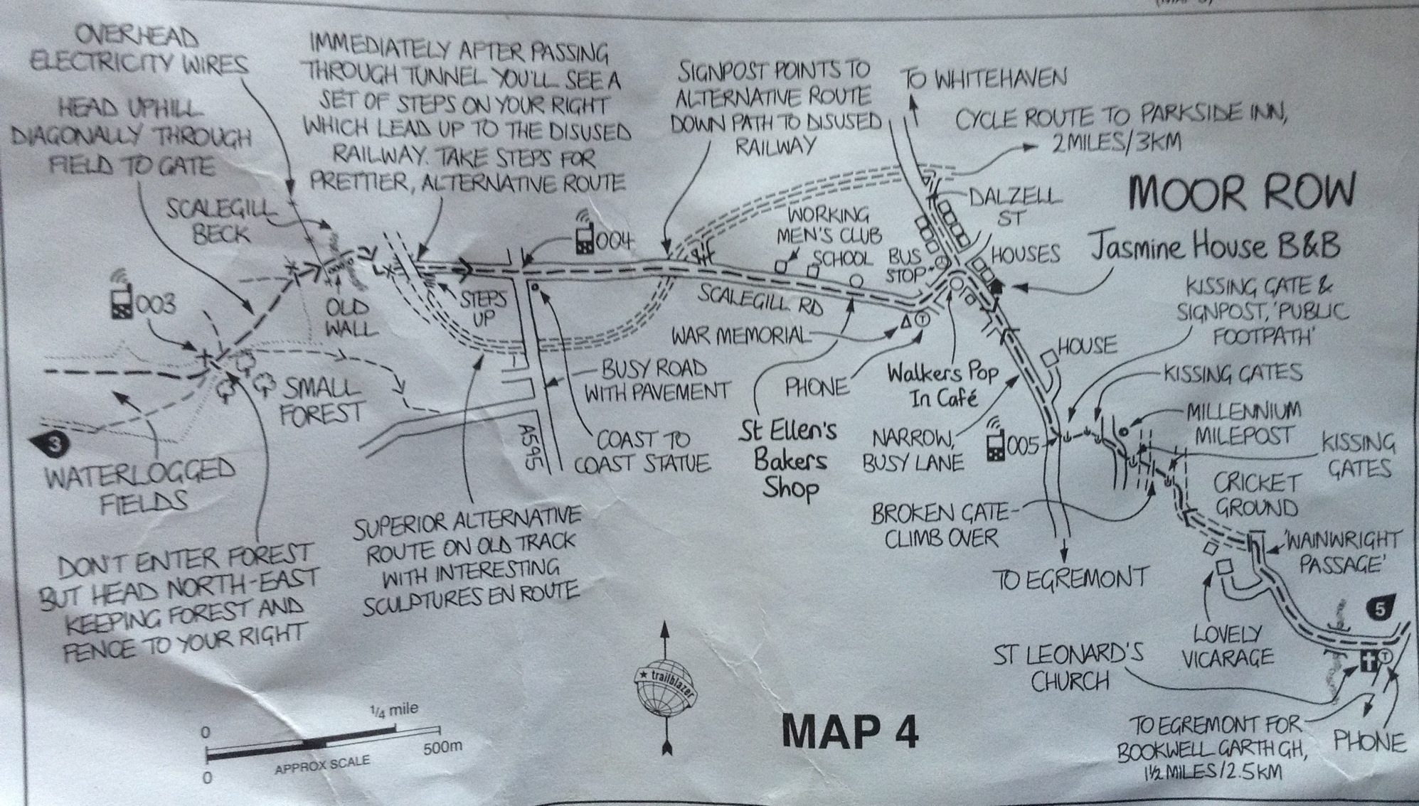
Had a delicious breakfast with fresh eggs, homemade bread and currant jam. The coffee was rich and freshly brewed too! We again had an unseasonably hot and sunny day here. Much better than rain when you are climbing up and down slippery rocks.
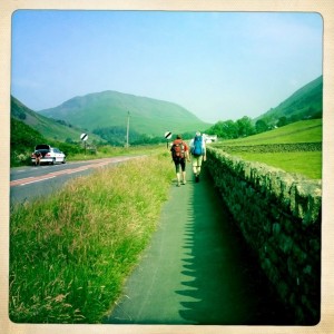
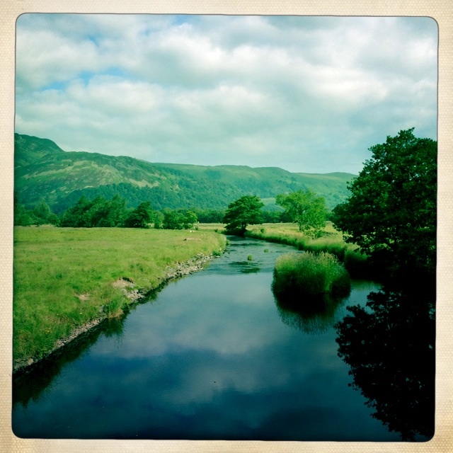
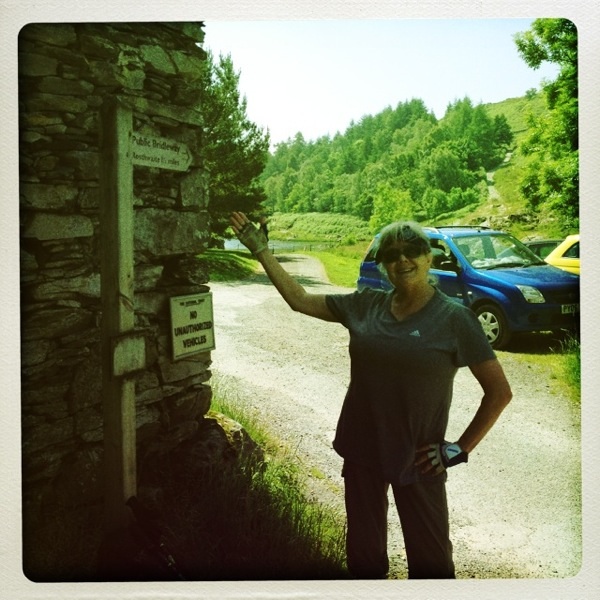
Wolf and Nicola, fellow travelers, leaving Grasmere
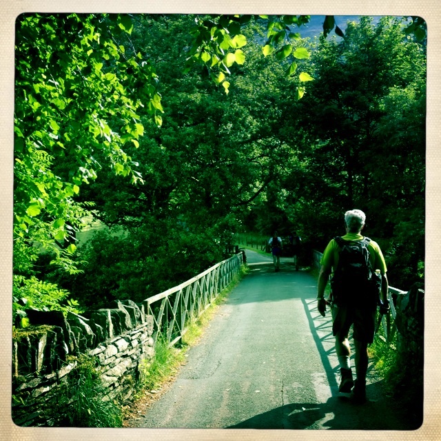
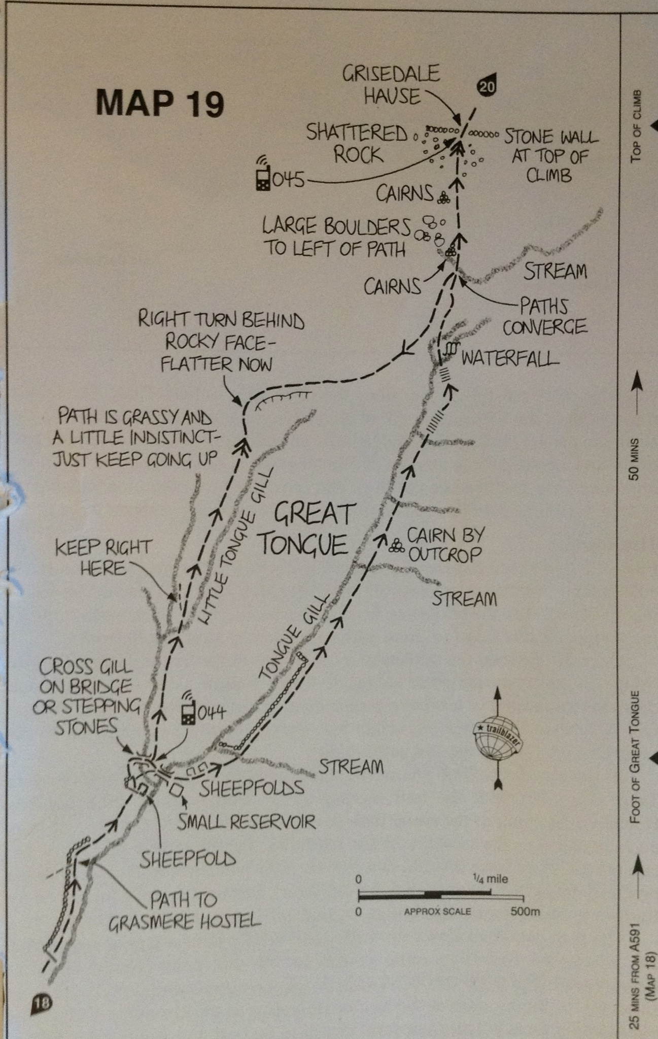
We headed out the front door of our B&B and made a right turn down the walkway along the road. We have met, passed, been overtaken by, and chatted with many folks doing this route.
House along the road to our right
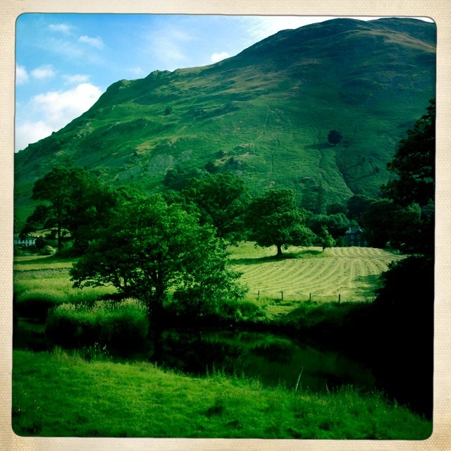
Another lovely homestead along the way. There was a quite impressive one to let nearby.
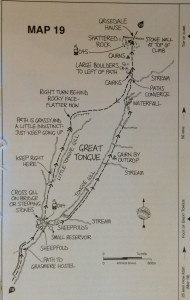
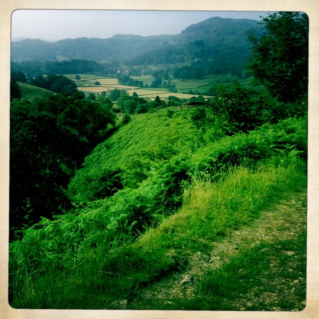
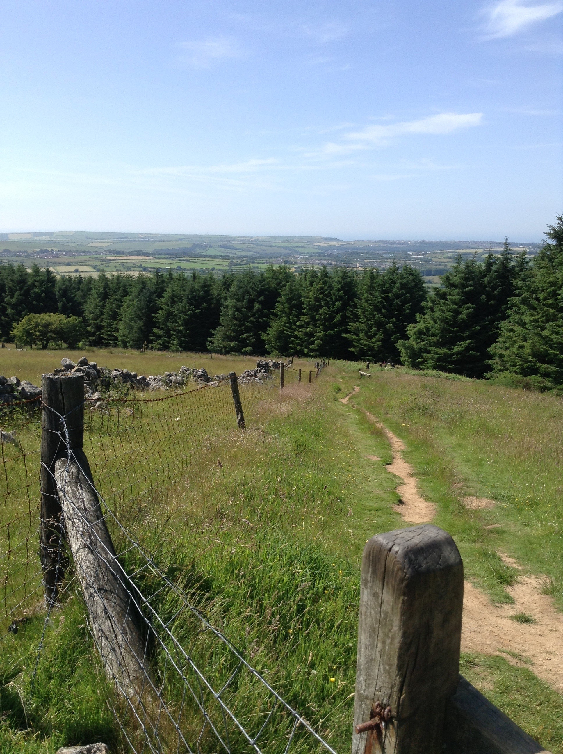
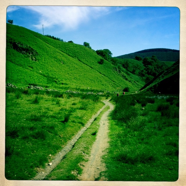
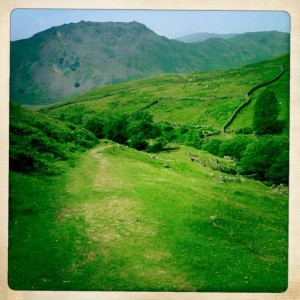
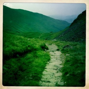
It was only a short walk along the road and then we turned right onto a bridle way that would lead us up to Tongue Gill and finally Grisedale Tarn.
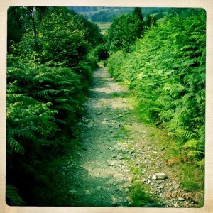
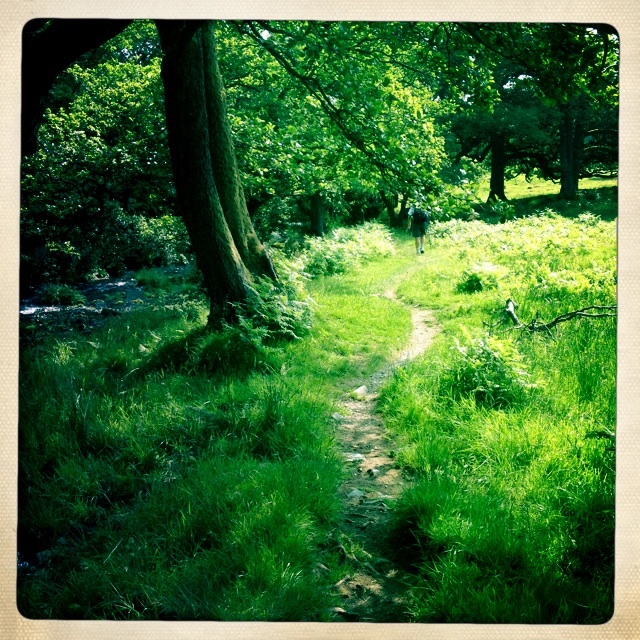
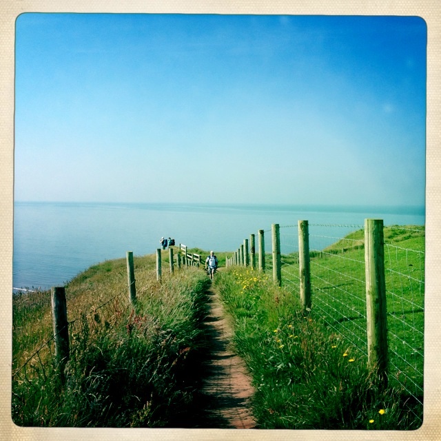
Foot path to Tongue Gill
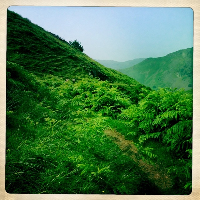
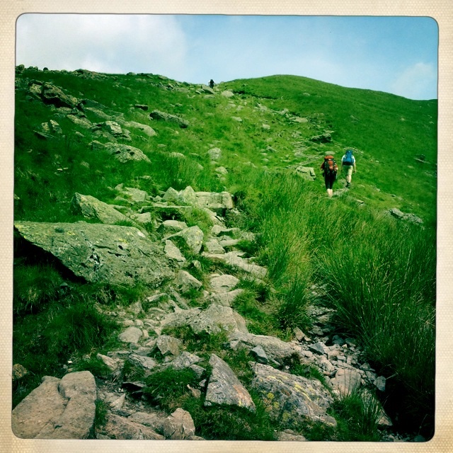
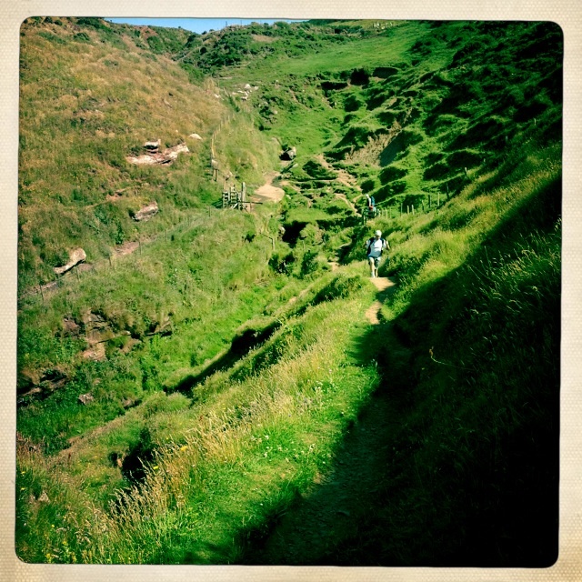
We took the less steep path up toward Grisdale Tarn, but even that was far from easy. Along the gill (ravine) in some places the path skirted the edge.

Along Tongue Gill- some parts had a very steep drop off the side
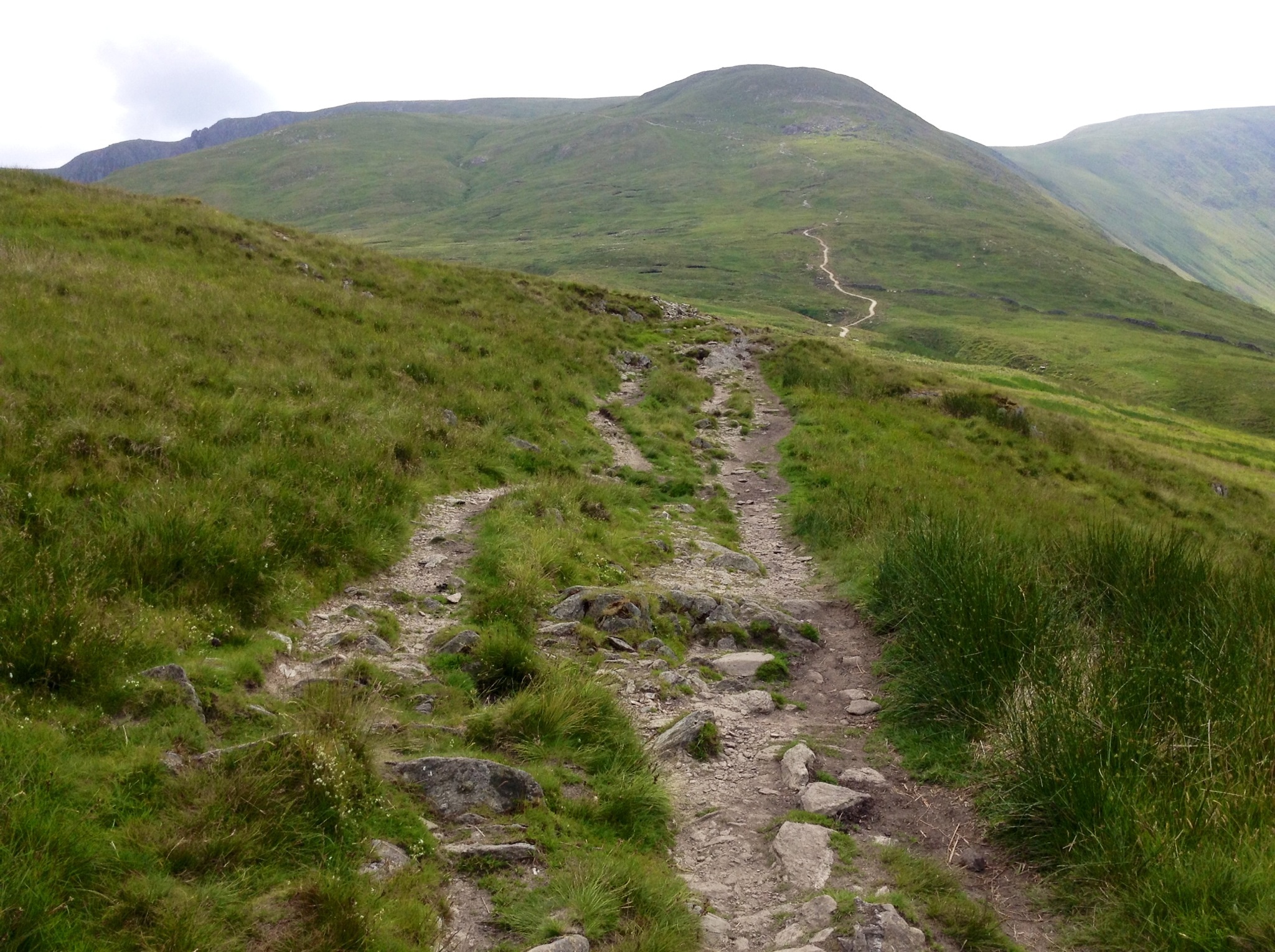
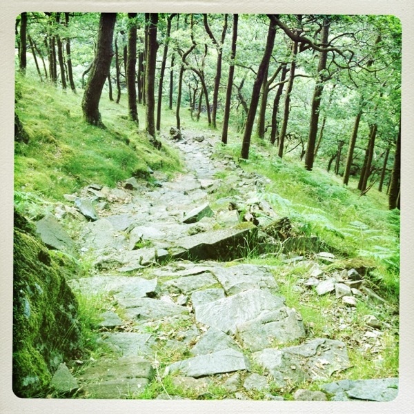
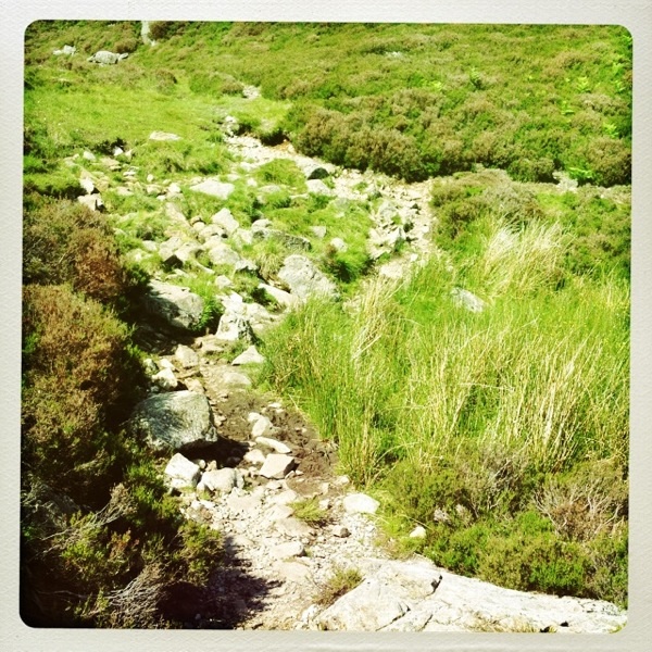
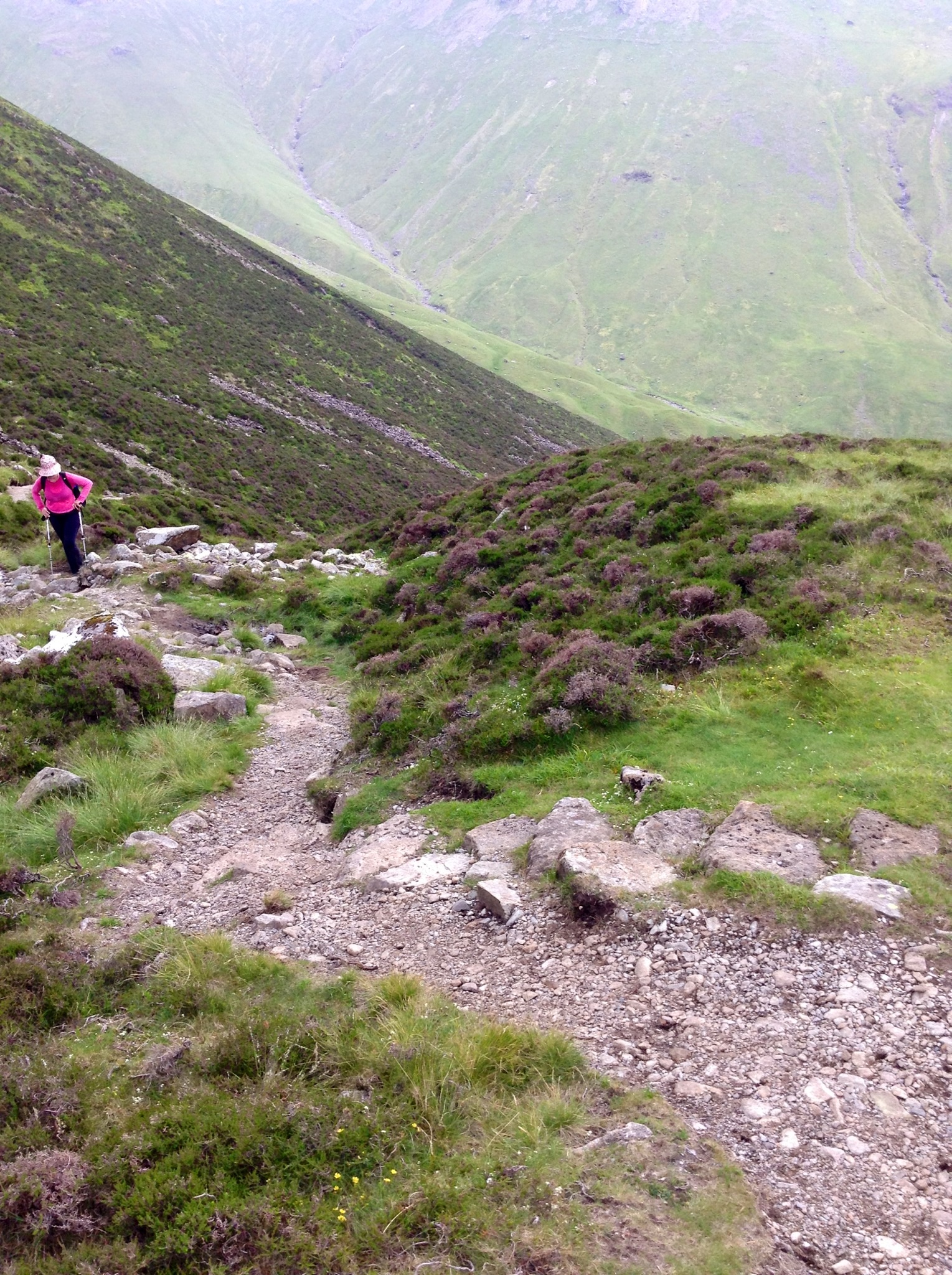
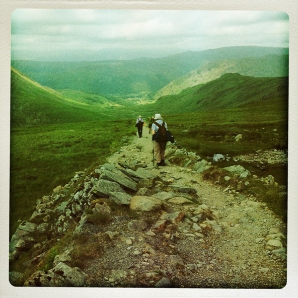
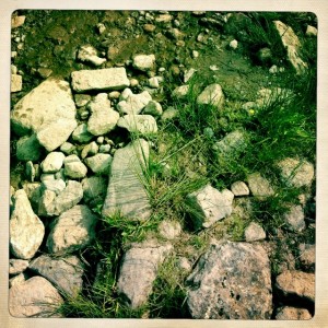
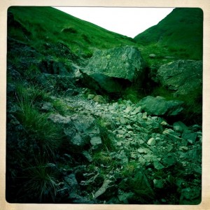
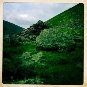
Almost all of the path was rock strewn.
This is what the good path looks like
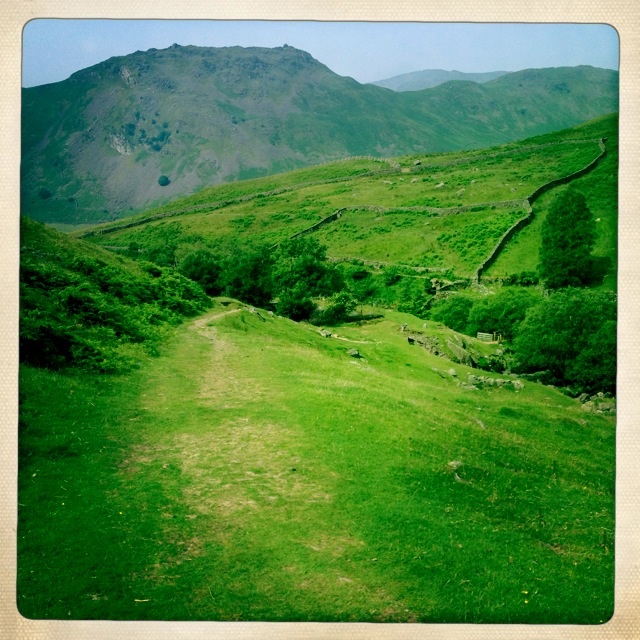
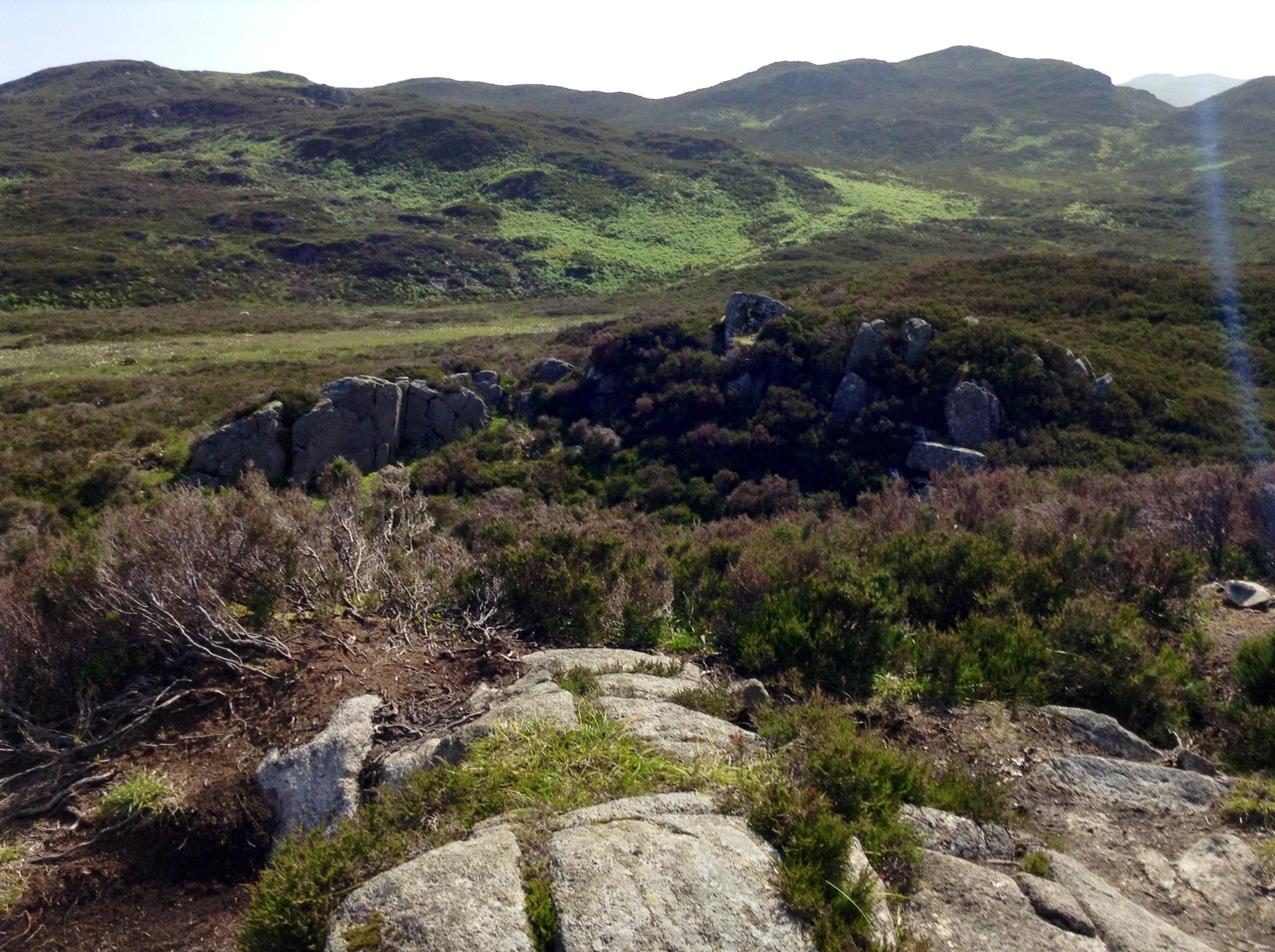
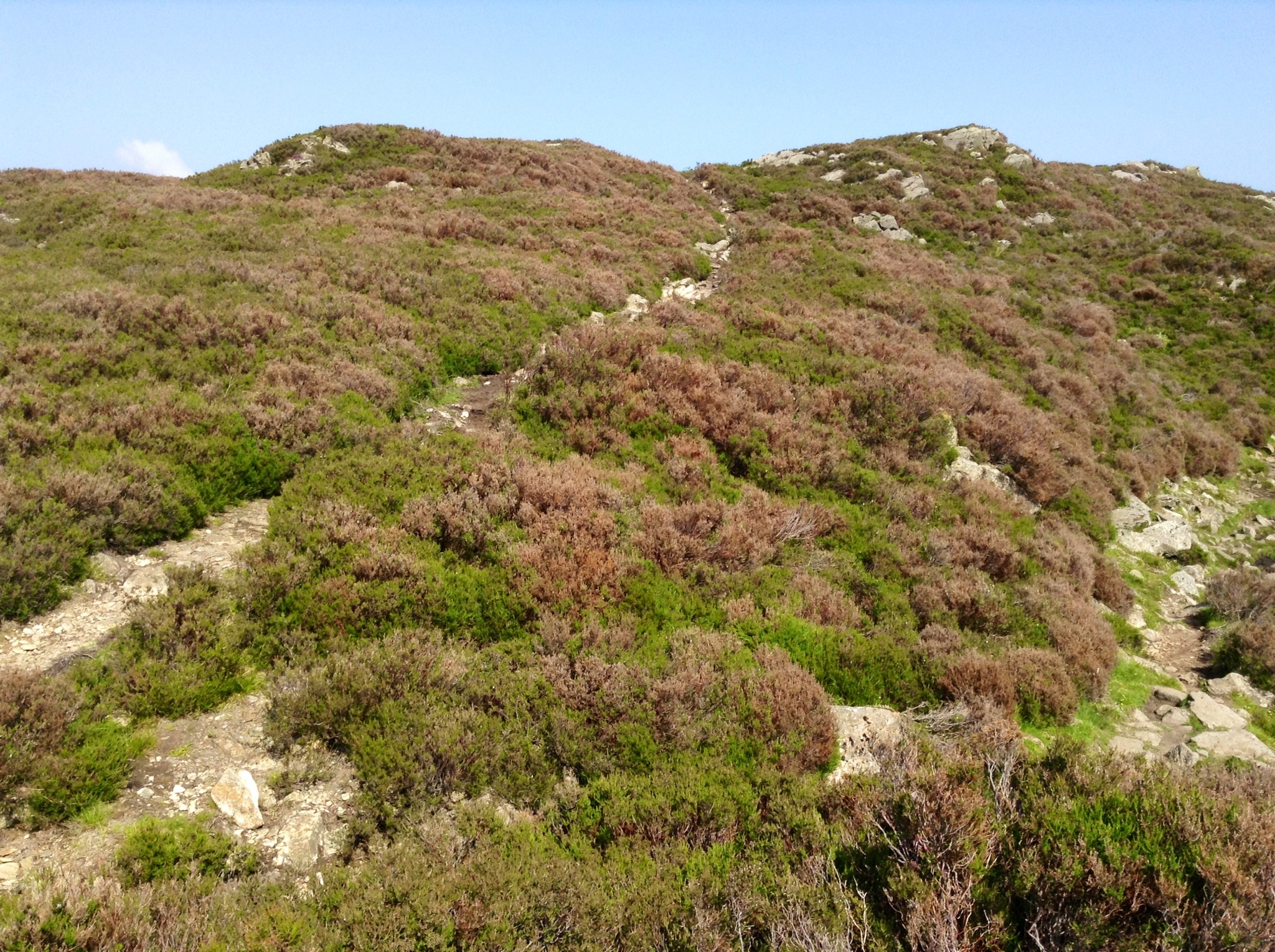
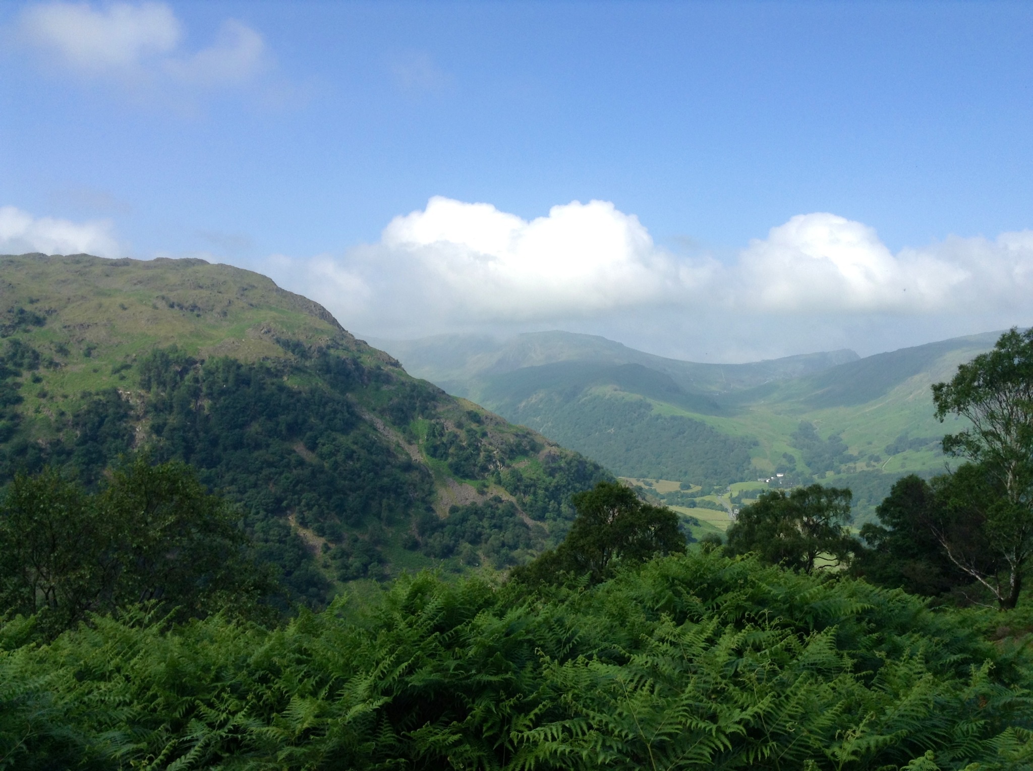
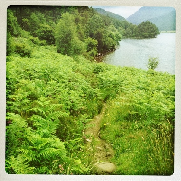
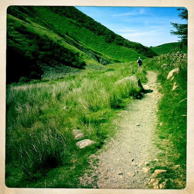
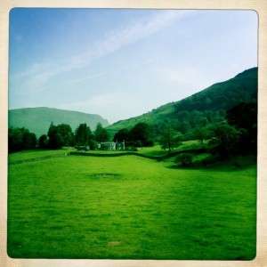
Parts of the way had wider paths with gently sloping sides. The views all around were gorgeous green hills, studded with rocks in places.
The good part of the trail
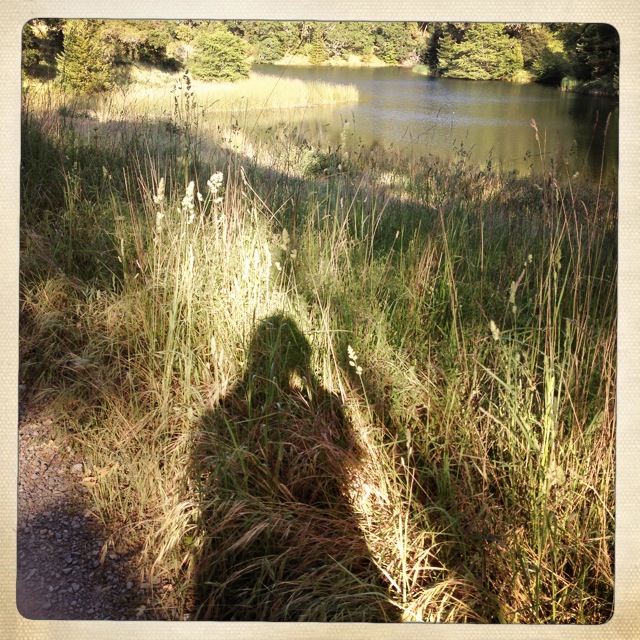
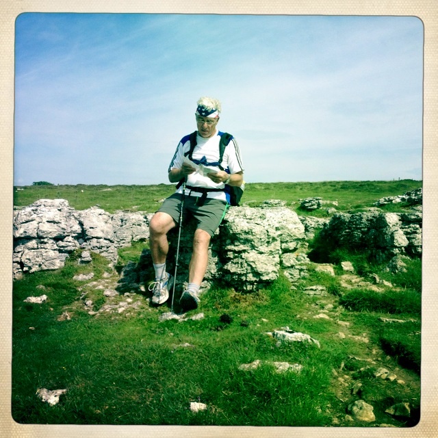
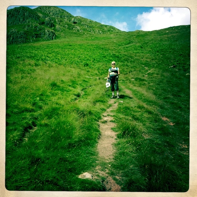
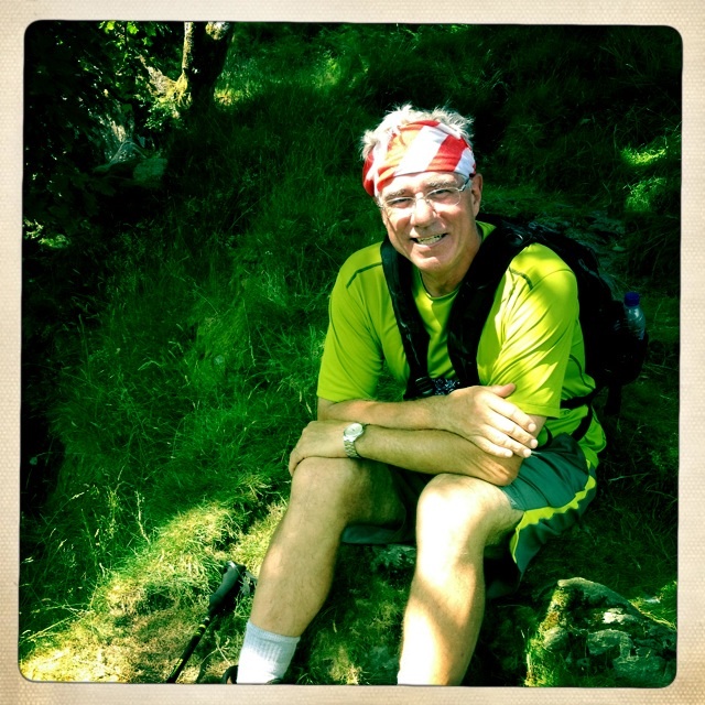
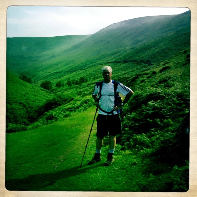
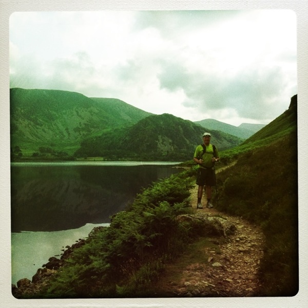
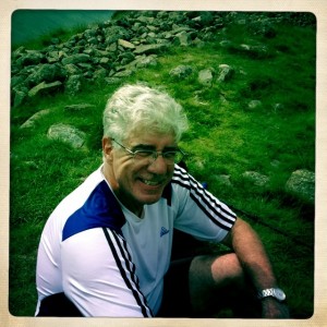
Tony outpaces me and so he would stride ahead and often come back or wait for me. Of course, I also stopped and took pictures too!

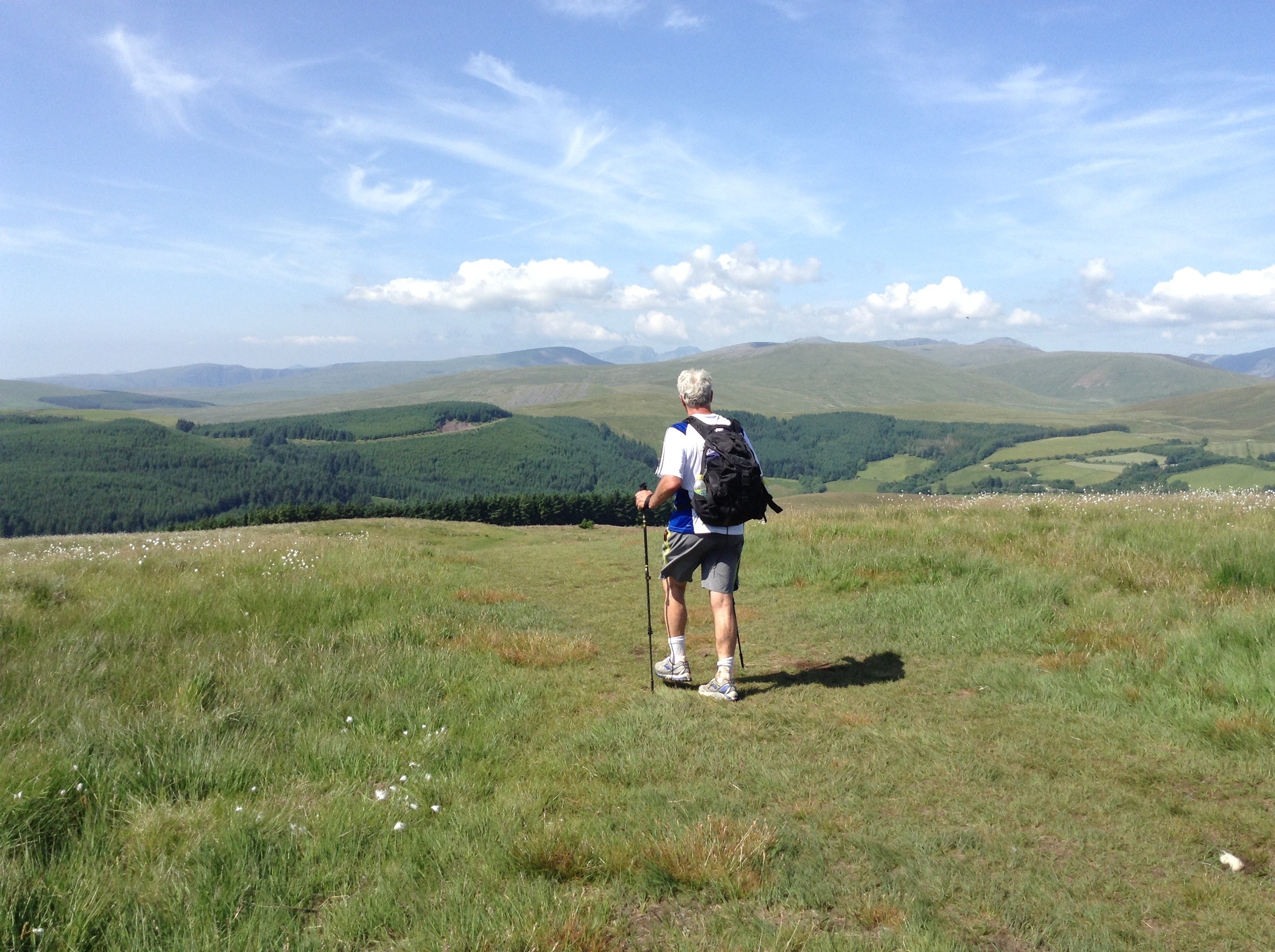
Tony on the trail
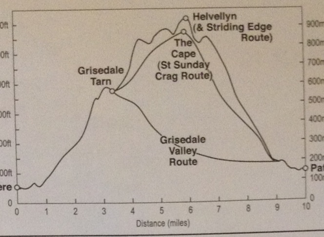
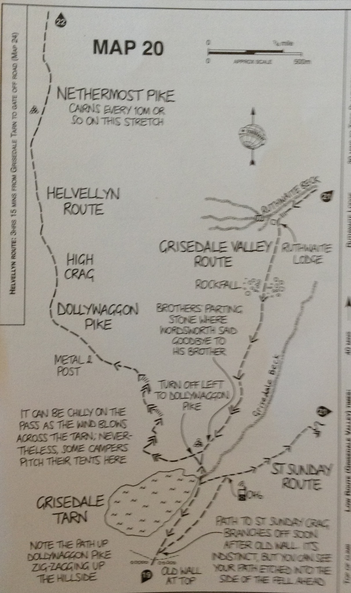
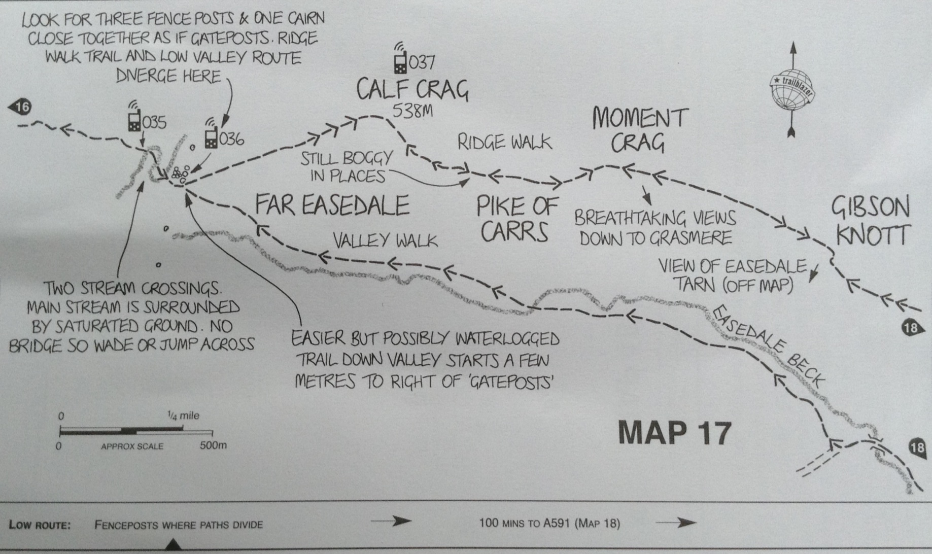
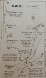
Both the gill paths eventually rich the top of Grisdale Tarn, but I thought less steep is better.

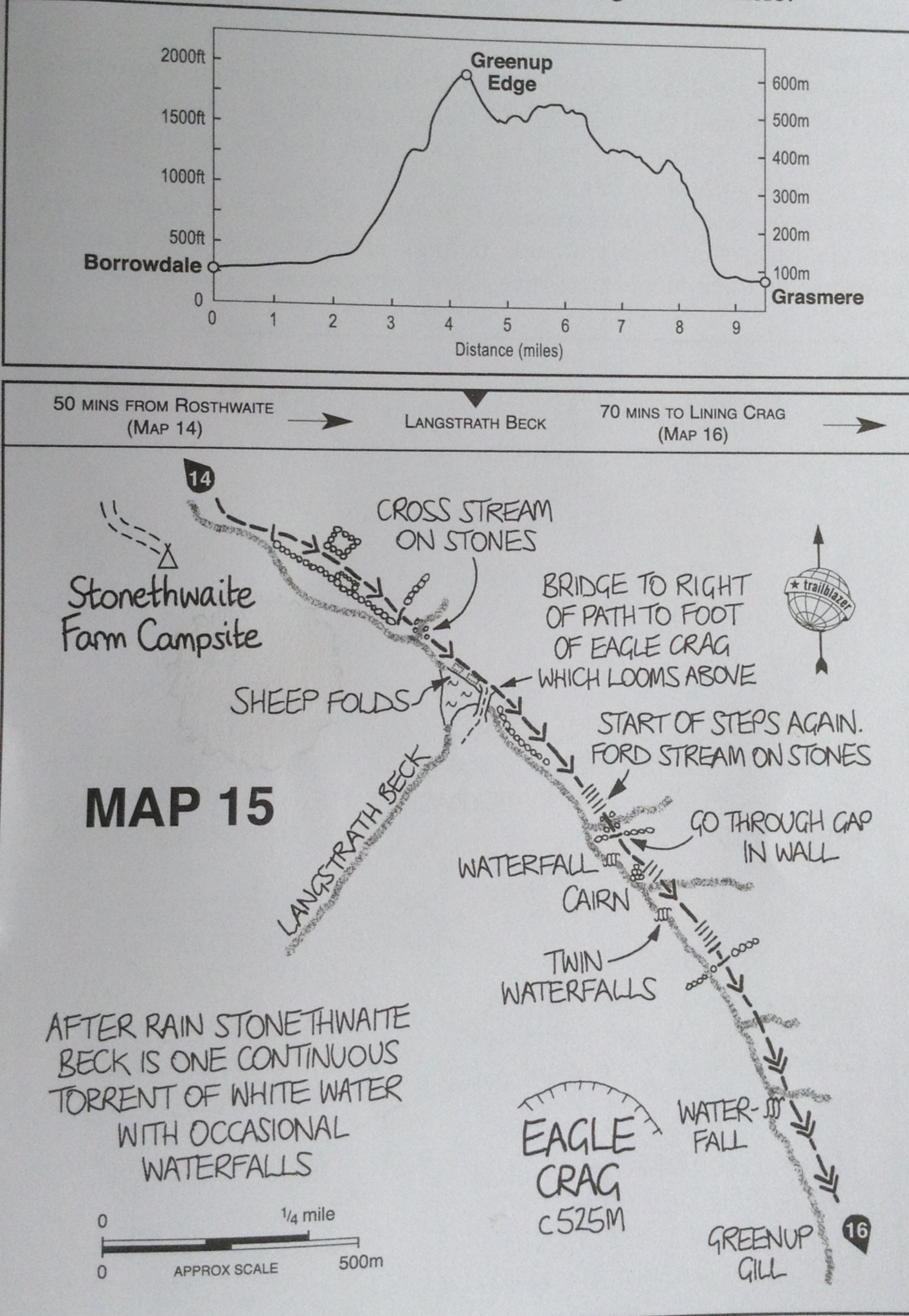
Our climb should just be to the 2,000 feet level.
Although this was the less steep route, some parts of the path climbed pretty quickly up.

The path is that brown bit at a fairly steep slant
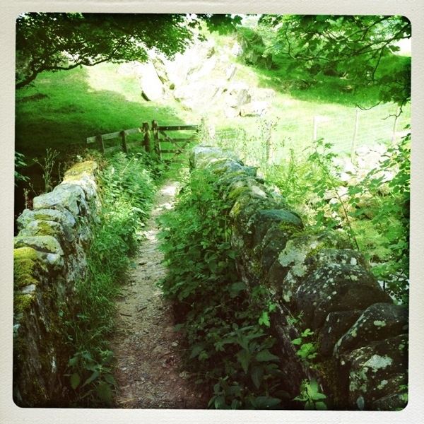
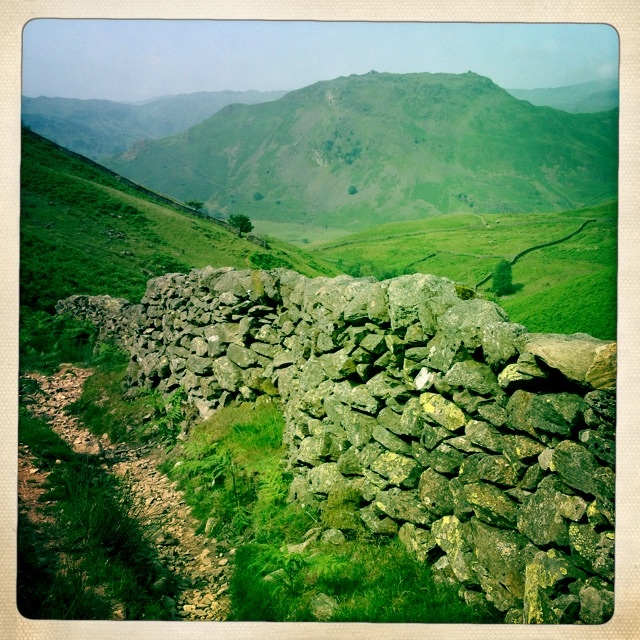
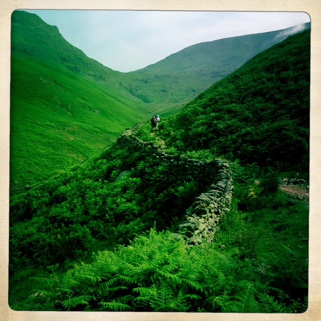
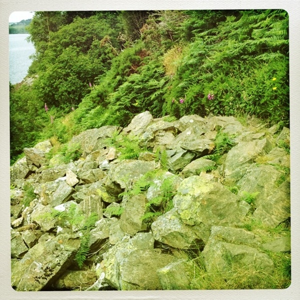
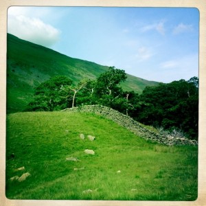
There were stone walls along some sides of the Tongue Gill and I wanted to sing for joy when I walked along them. I give great thanks to the hard labor that built them. I do like a wall or fence between me and a drop onto rocks below.
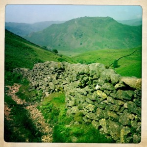
The stone walls were built to keep the sheep from committing suicide – I really liked them.
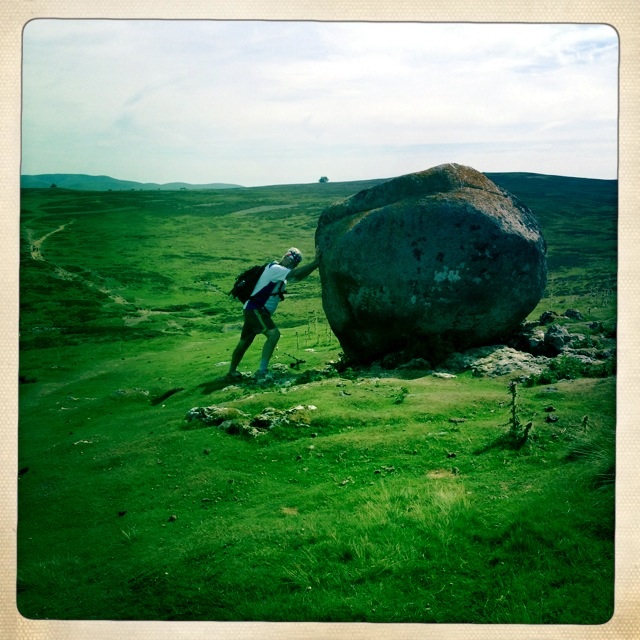
Some parts of the path required I use my hands to clamber over. Tony negotiated many with just his one pole. His other pole was destroyed in the climb up Loft Beck.
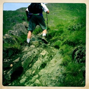
Tony climbs up steep rocky path
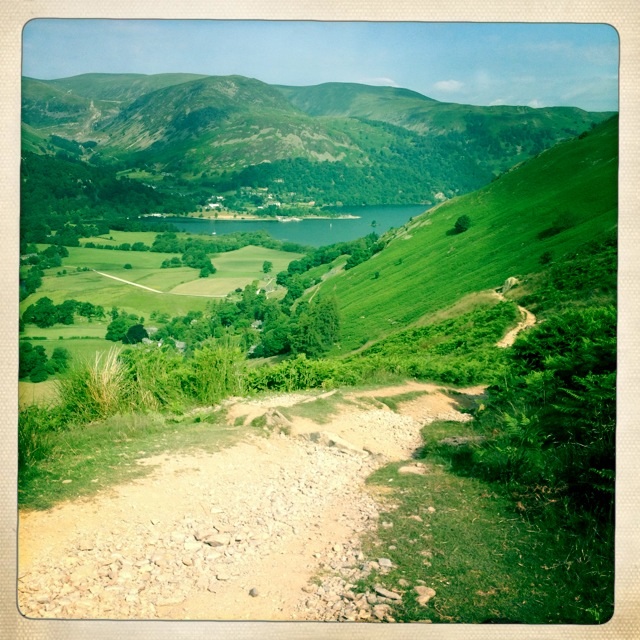
Looking in the distance, you could see that the climb continued for quite a ways.

We climbed up for quite some time
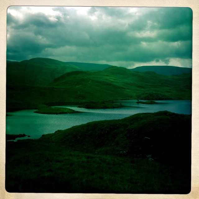
Looking back you could see how far you had come up from the valley behind you.
Looking back into the valley from whence we came.
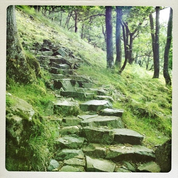
There were two sections that had slabs of stone creating a sort of steps up. I can’t imagine how slippery and awful it would be to climb them in the rain. Yeah sunshine!
The work and effort to create these steps boggles my mind. Did they throw them down from above or have to carry them up? A heroic effort was certainly needed.
Some parts had stone sort of steps. It was steeper than it looks.
The closer to the top the rockier and steeper the path became. I used my poles and often just scrambled up on hands and feet, not daring to look down. This wasn’t as scary as Loft Beck, but I was very glad when I got to the top

It got rockier towards the top.
Even intrepid Wolf was using his hands to get up.

Wolf almost at the top. Need to use your hands to get up near the top.
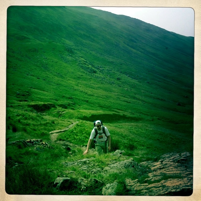
I think Tony was also glad to be done climbing up. It was hot sweaty work and there is no shade.
Tony at Grisdale Tarn
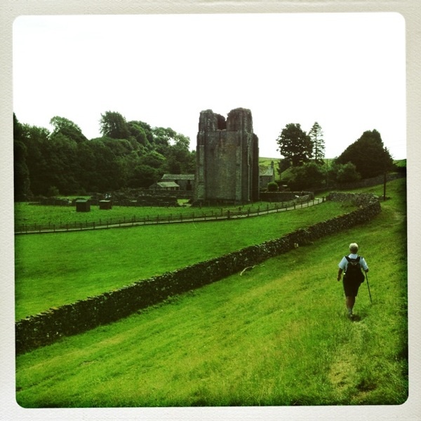
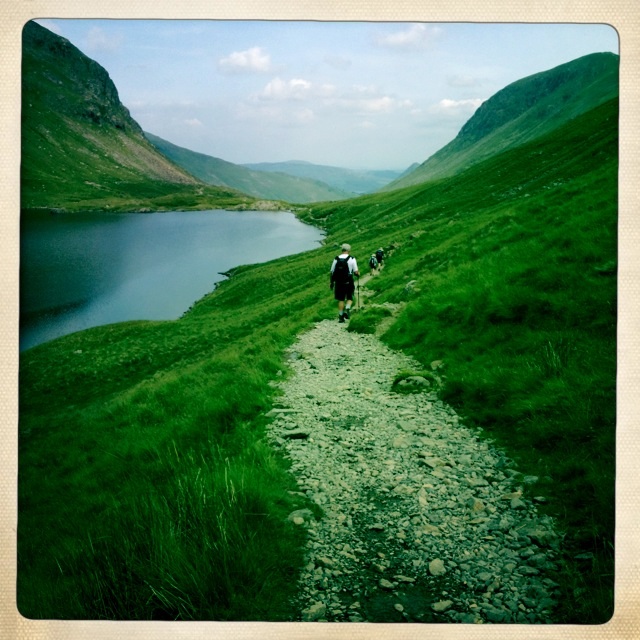
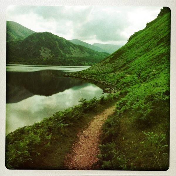
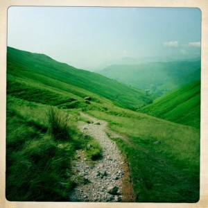
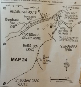
Instead of Striding Edge or some other hellish route, we chose the easier path down the valley to Pattersdale.

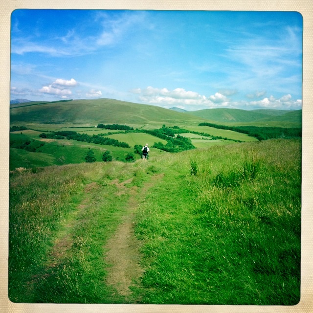
On the easier route down to the valOf coups course
Of course even the easier path was not easy to me. It was often steep and scree strewn.
The easier path often looked like this..down hill
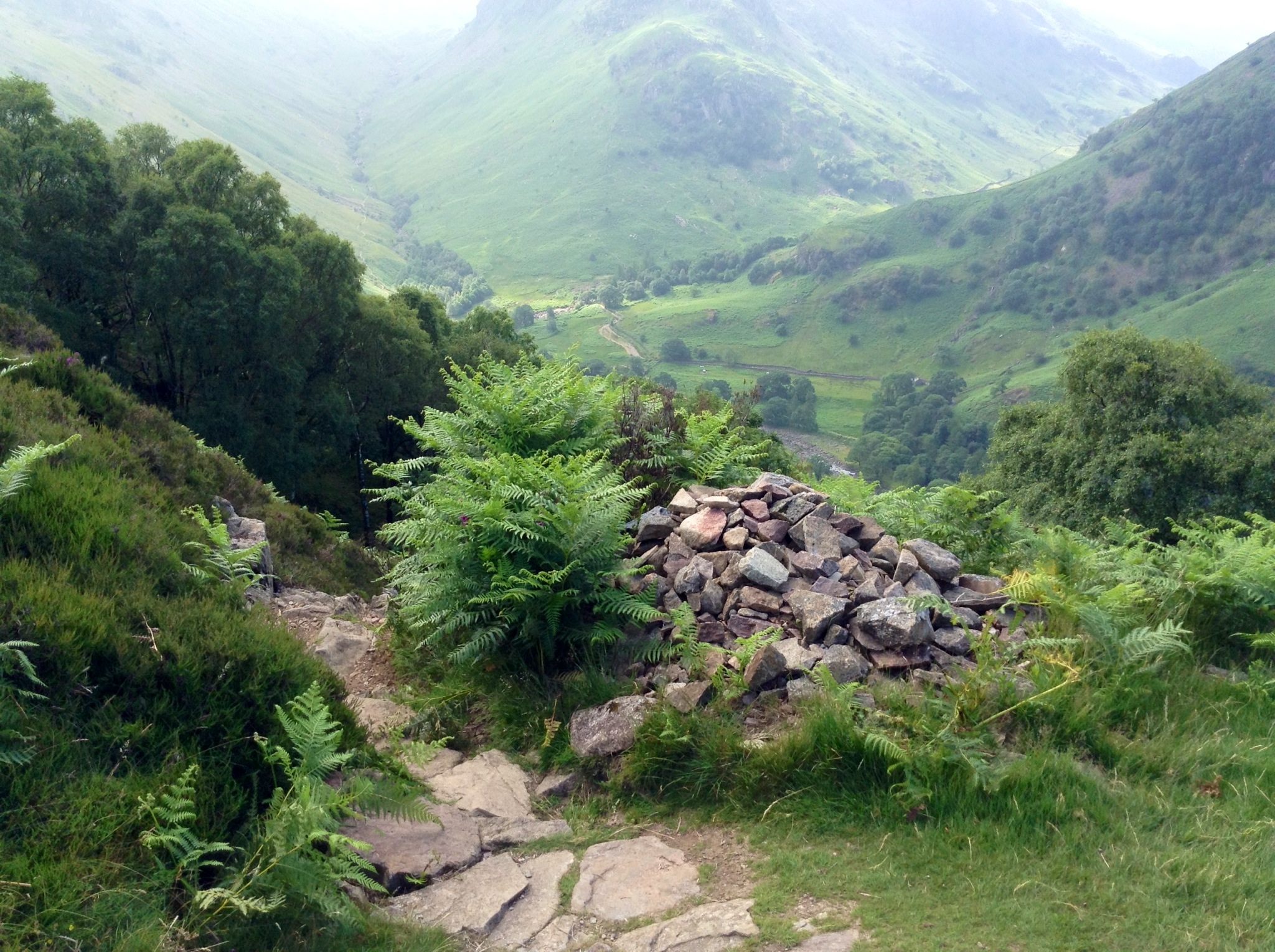
The slope from high above to below was often a slide of scree. They used cairns to mark the path because sometimes it might be hard to see.
Cairns marked the path
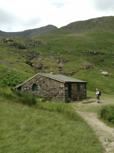
One of our tramarketers was this cottage. There was a waterfall behind it too.
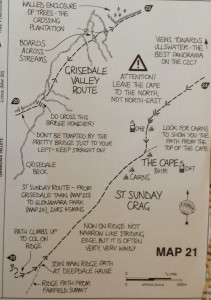
We did cross the little bridge the map warned us not to cross. However, we saw Wolf and Nicola on the other side and caught our error before we ended up climbing some death defying slope.
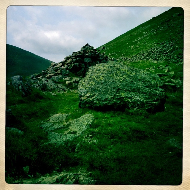
Stone wall enclosure of trees
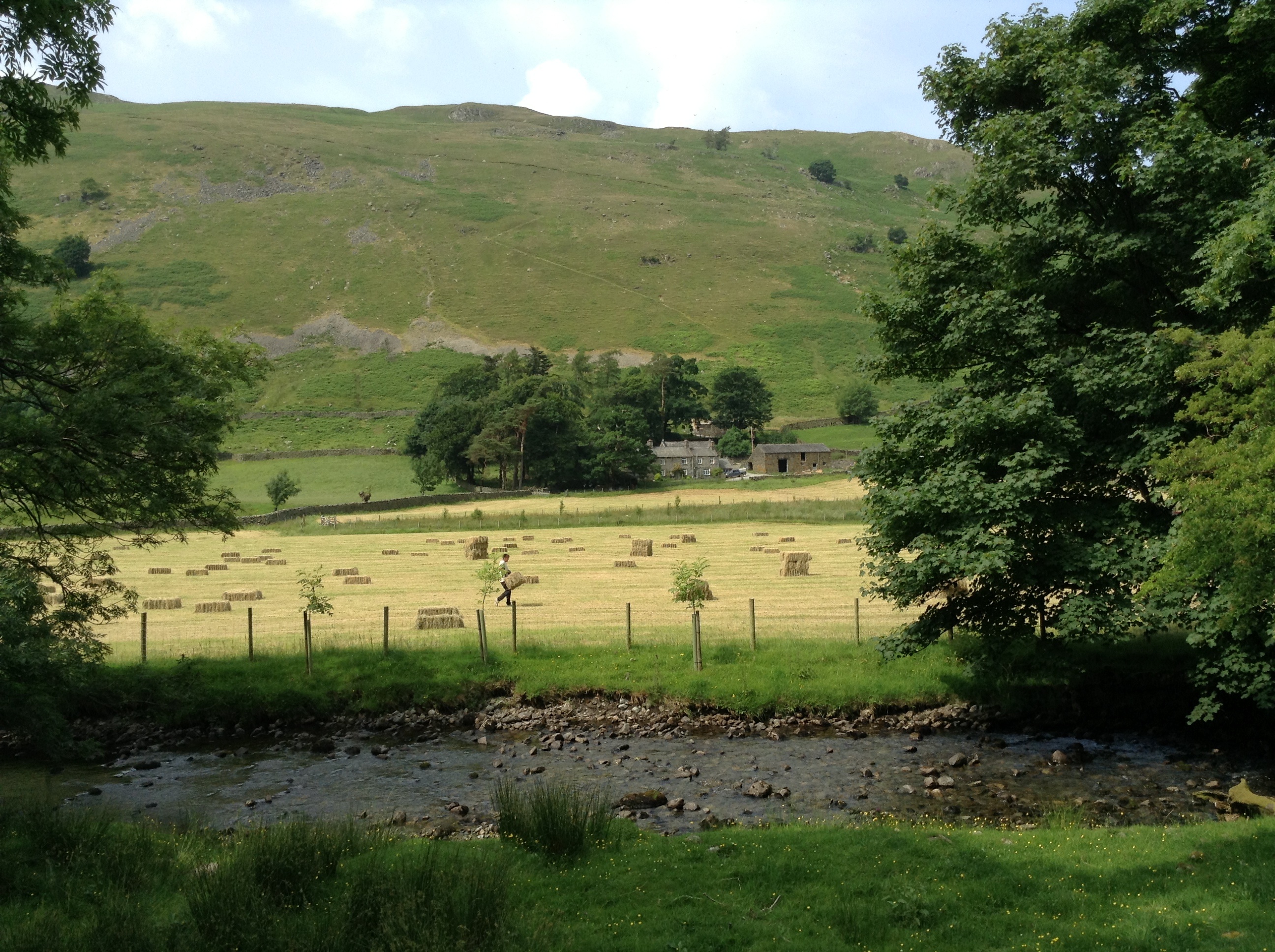
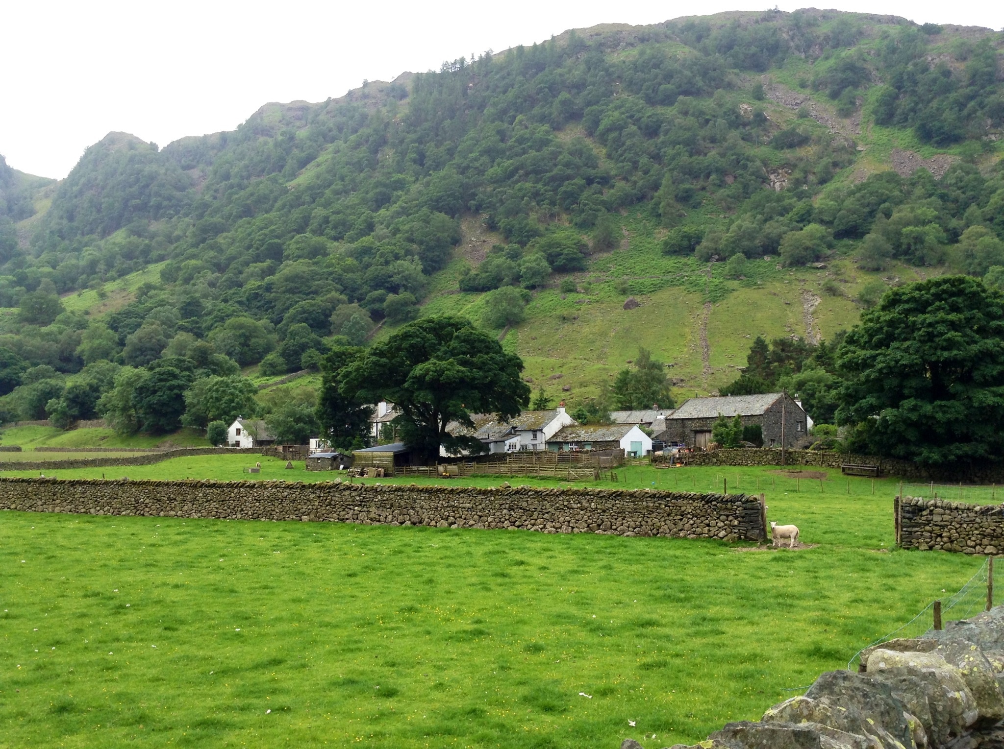
This farm told us we were on the right track. There were people out working with the hay baling as we walked by.
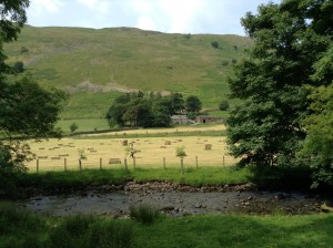
Hay bales on farm

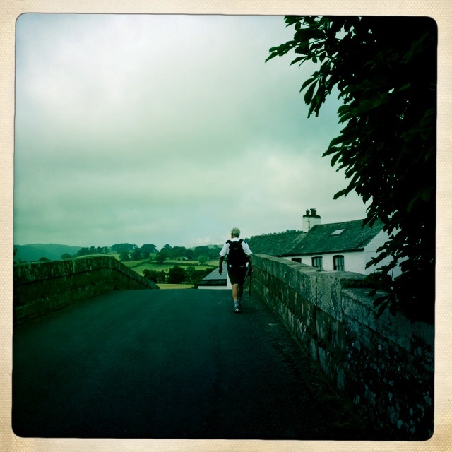
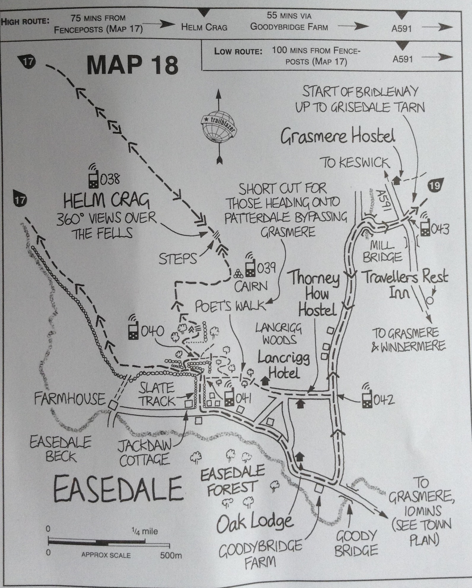
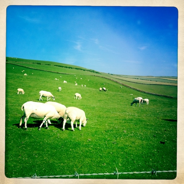
We stayed on the paved single lane which took us the village of Pattersdale. It has some places to stay and a pub. Lots of baaing of sheep in the pastures all around.

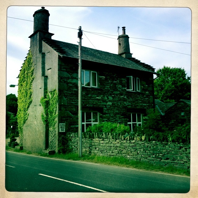
Our B & B – The School House
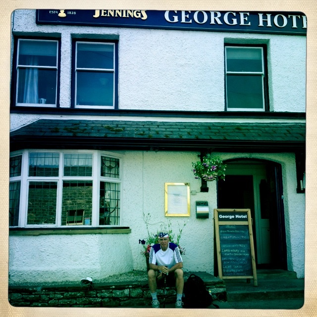
We walked down the street to the White Lion for supper.
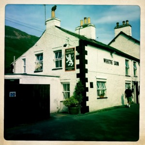
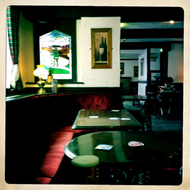
White Lion – pub in Patterdale

The pub
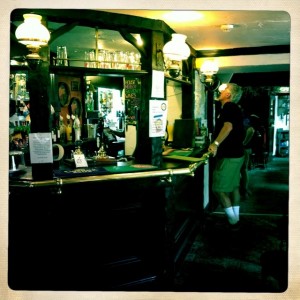
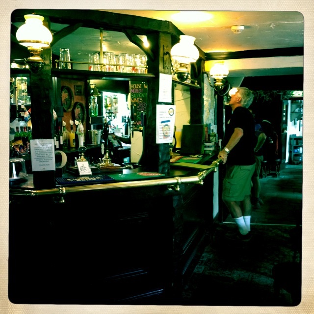
Tony ordering a cold pint, well earned.
After supper we headed back to The School House and passed the sheep in the fields across the street. It is really quiet and peaceful here. What a wonderful way to see the nooks and crannies of a country – walking.

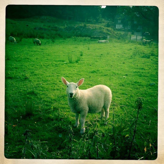
Sheep in field across the street from our B & B