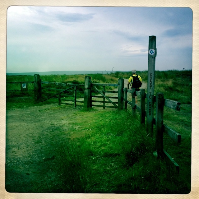
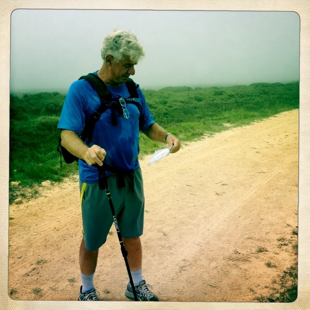
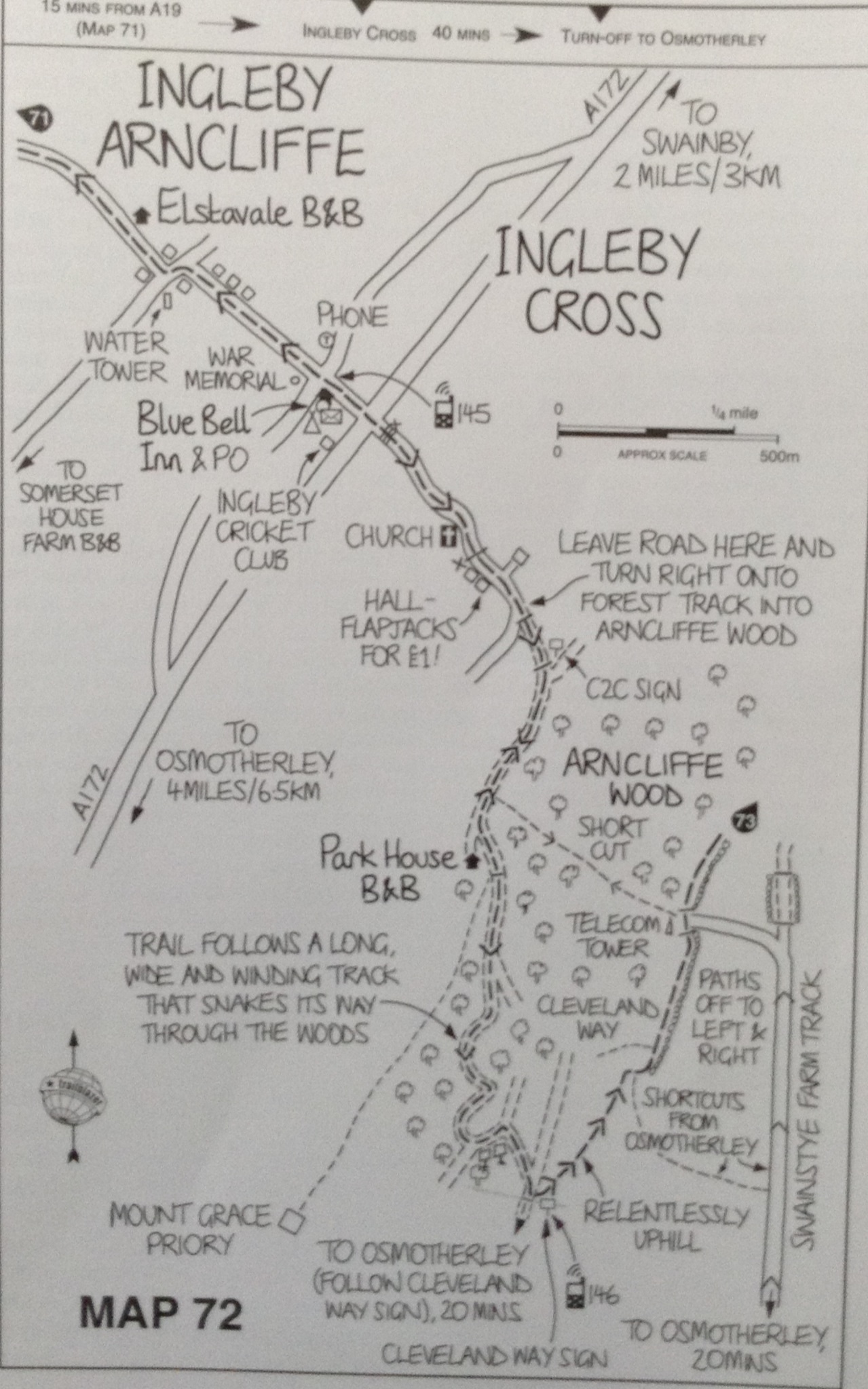
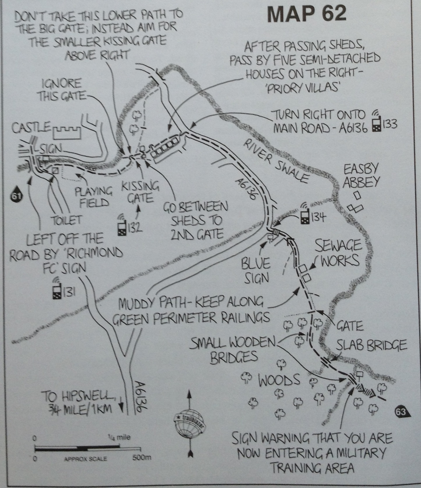
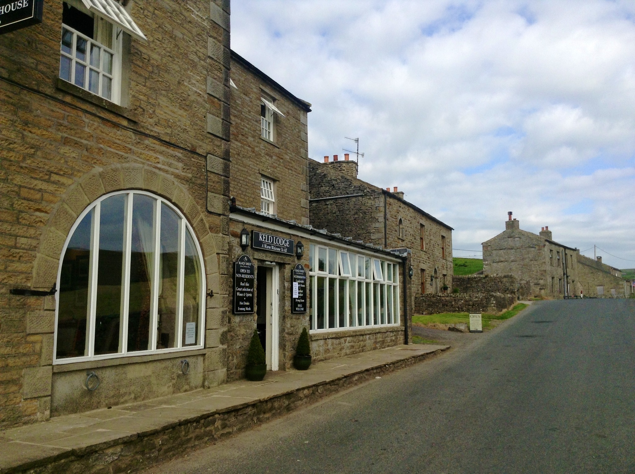
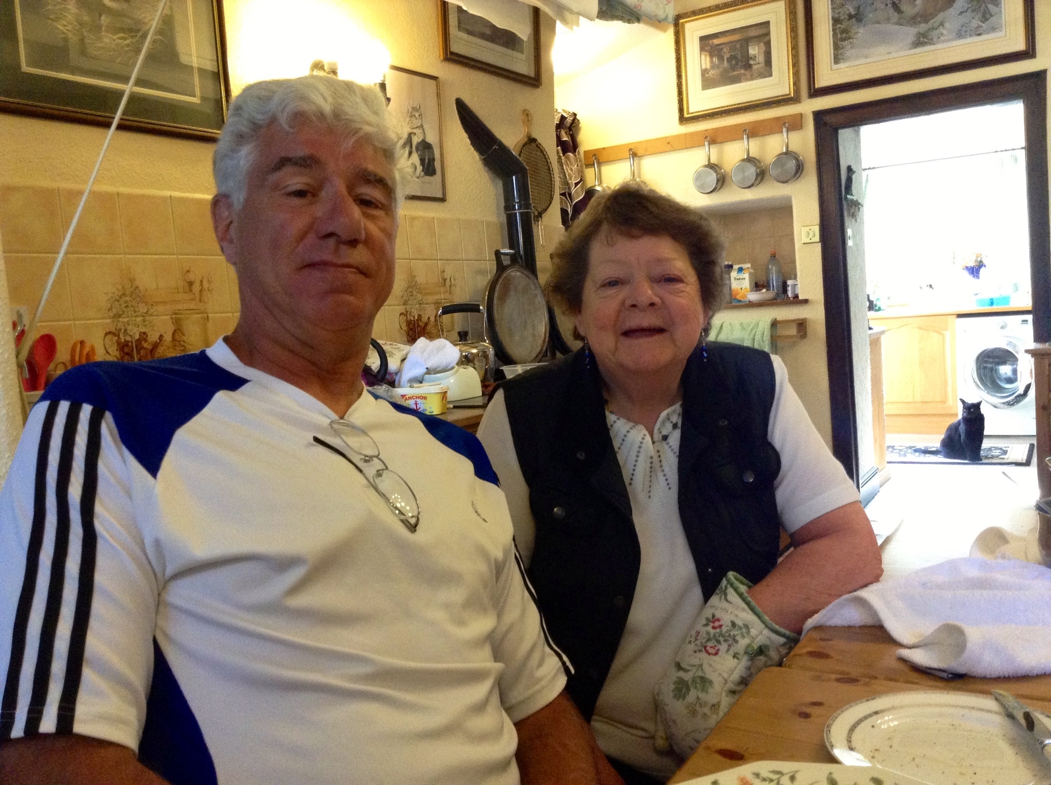
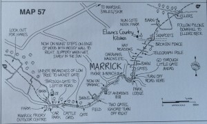
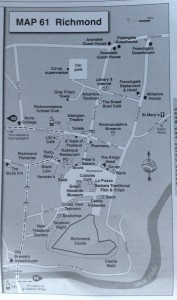
Lovely breakfast and good company with our hosts, Denise and Bob, and of course Tony. Morning sunny with a cool breeze, but the day will again be quite warm. Our hike today is listed as 12 1/2 miles – “a simple walk”.

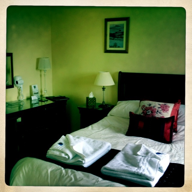
View from our bedroom this morning.
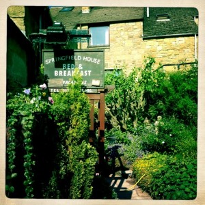
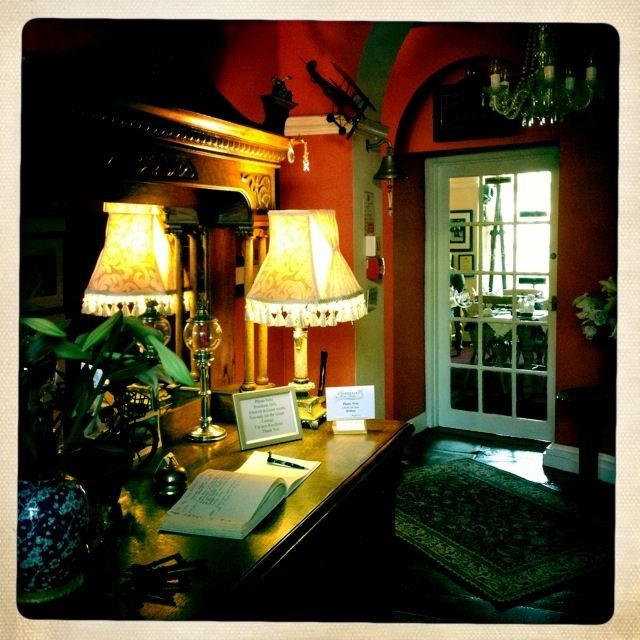
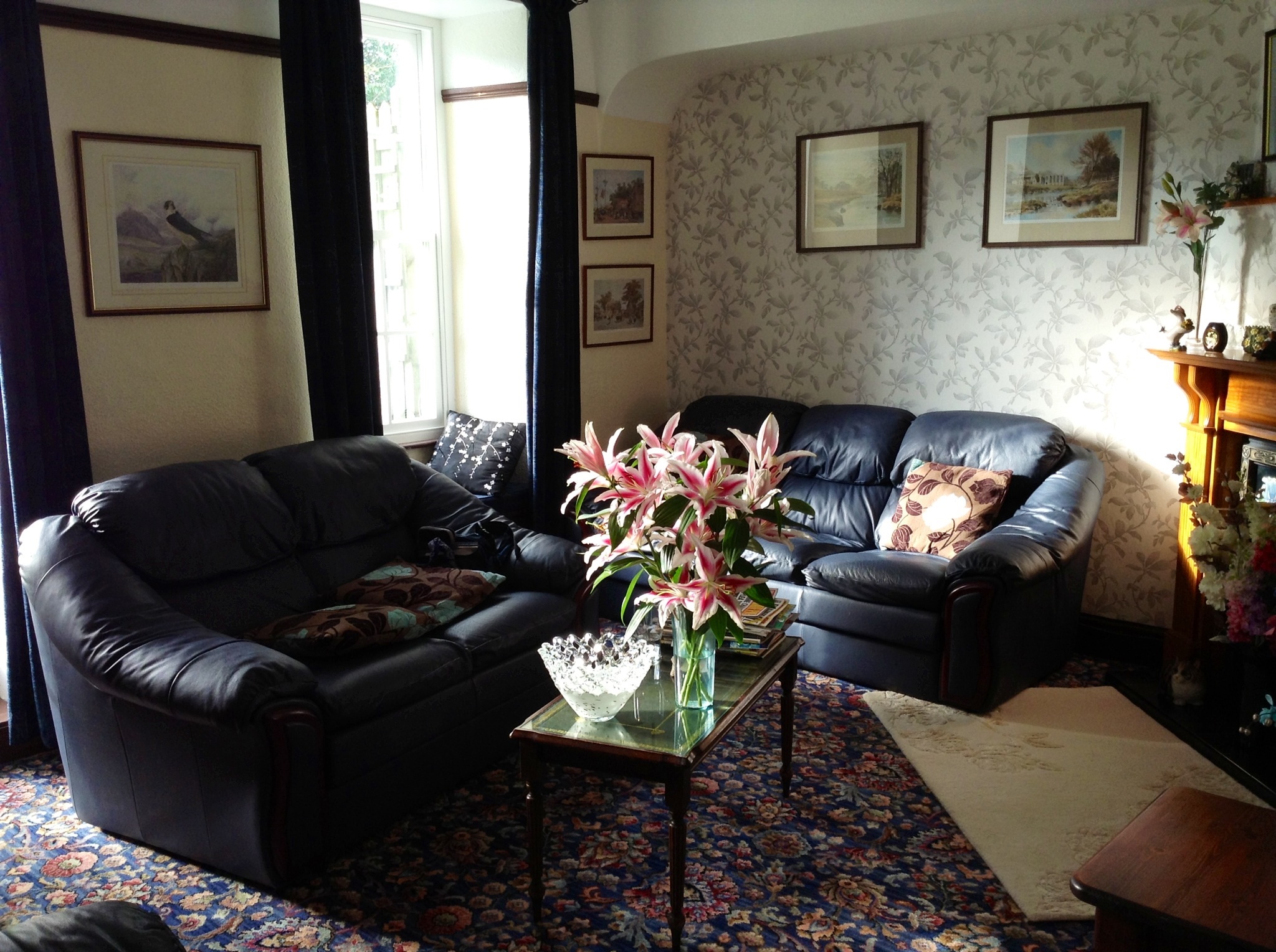
Garden at Springfield House

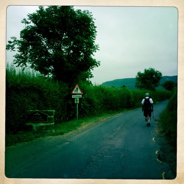
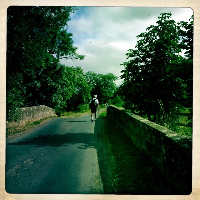
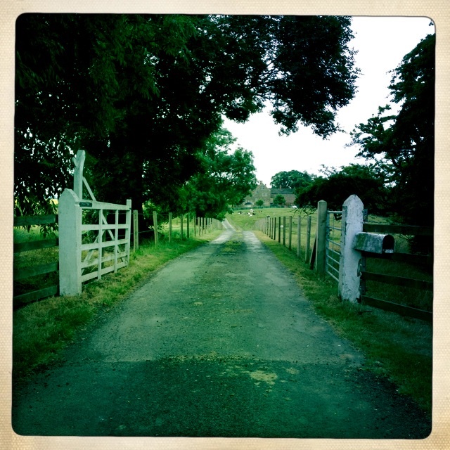
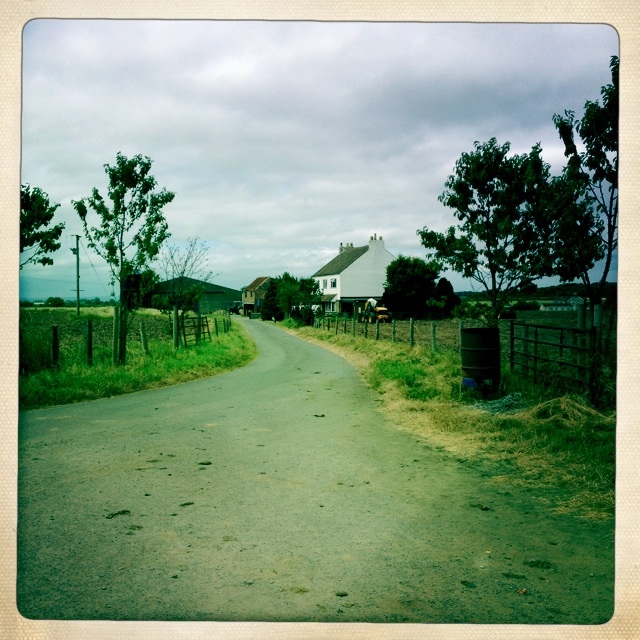
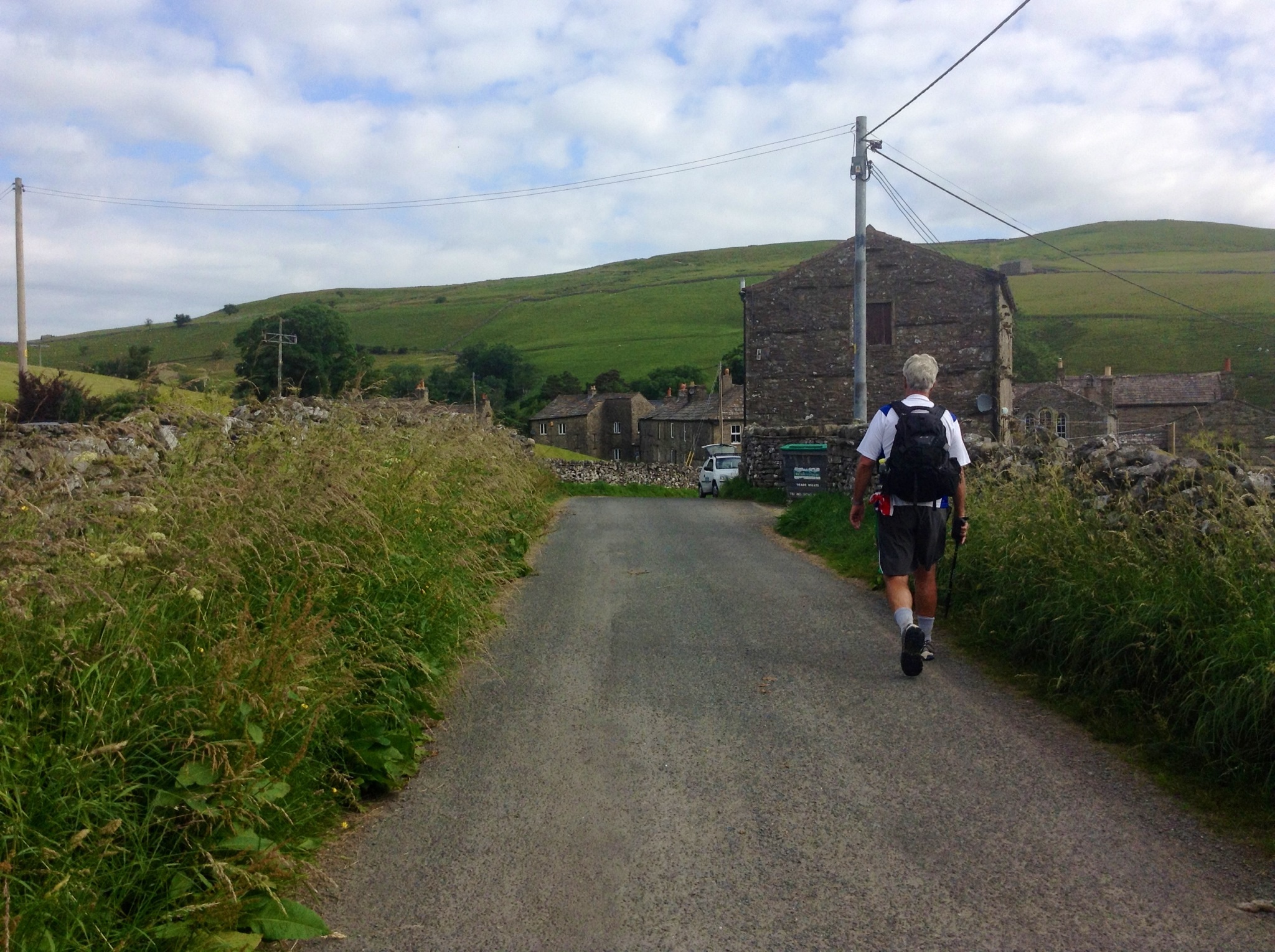
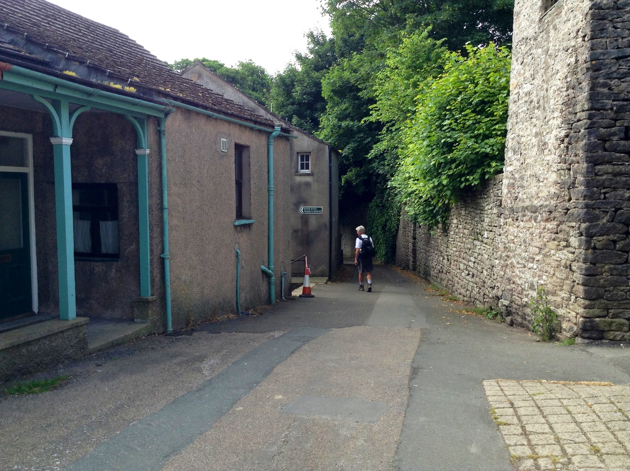
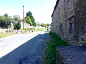
Leaving our B & B
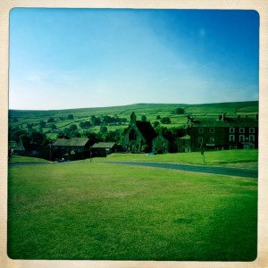
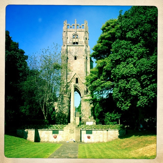
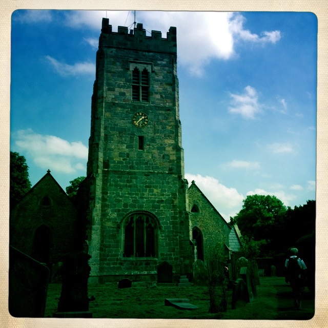
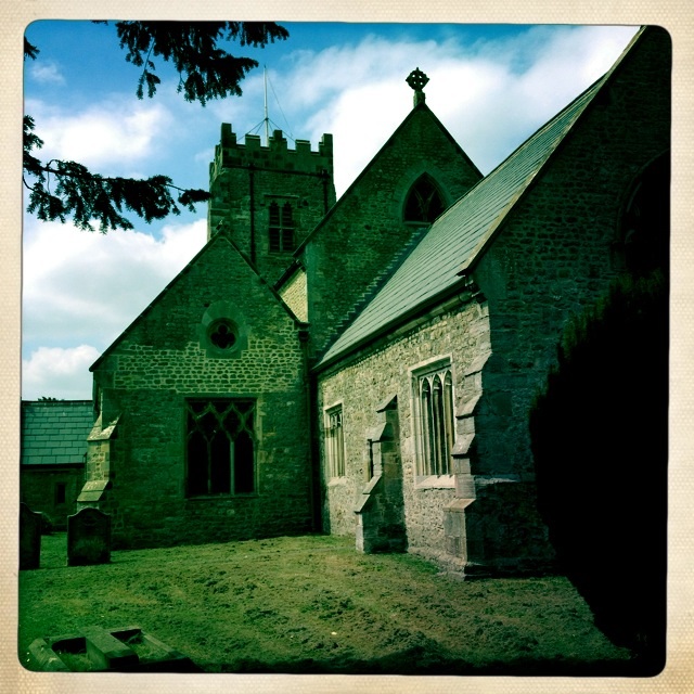
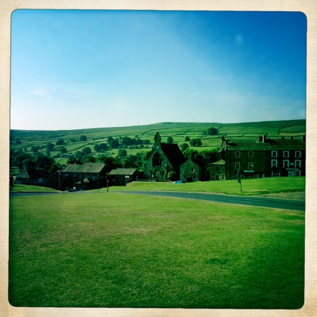
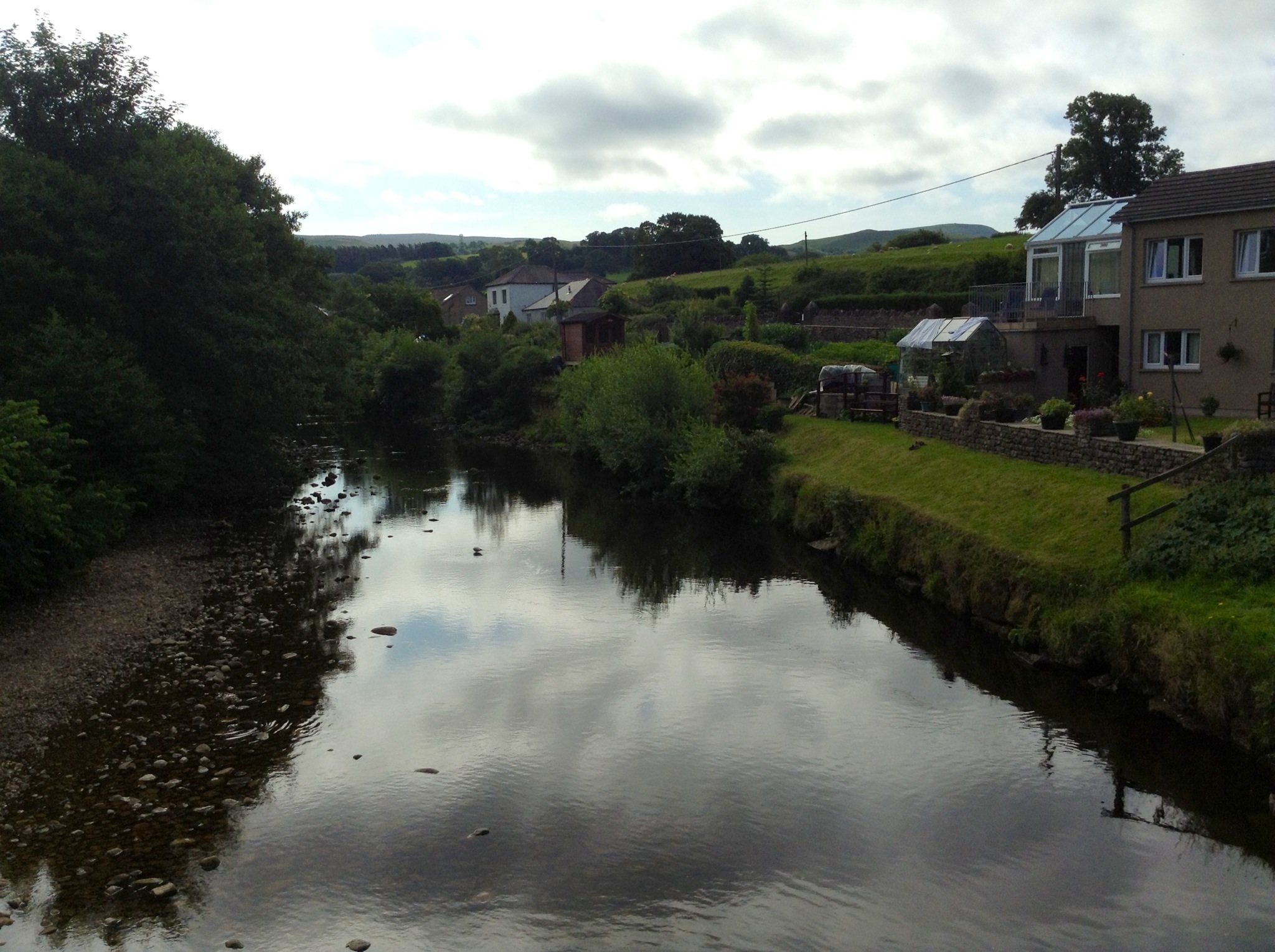
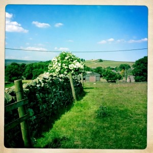
Village of Reeth
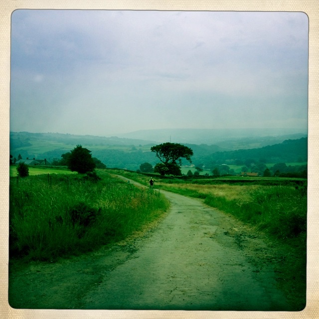
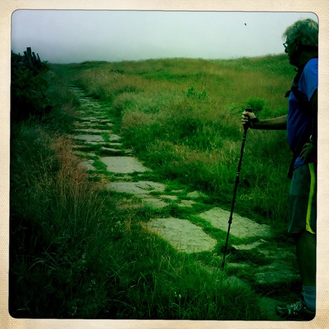
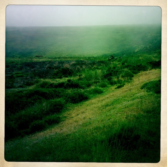
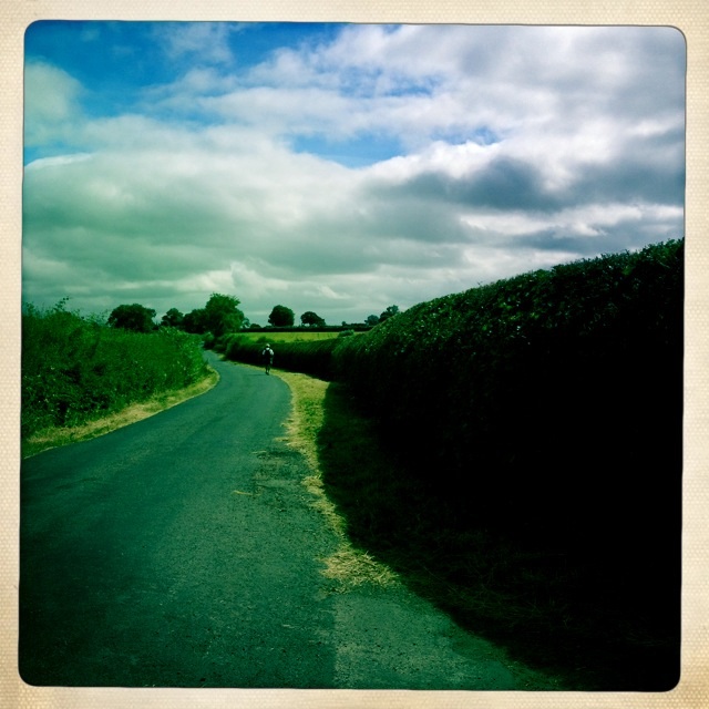
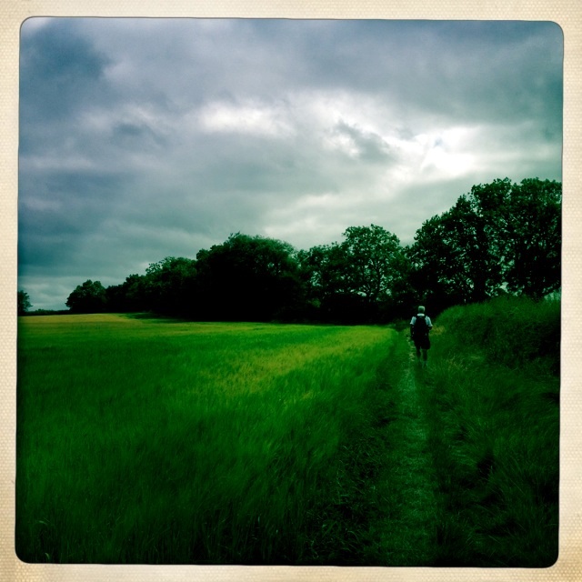
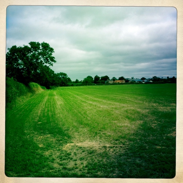
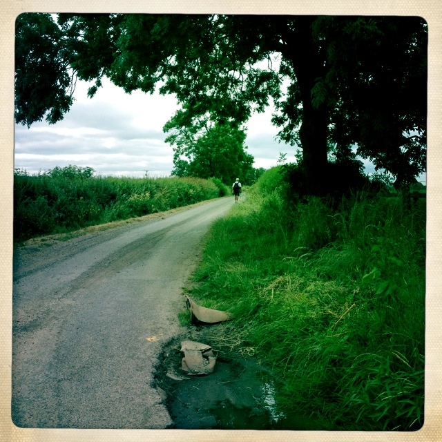
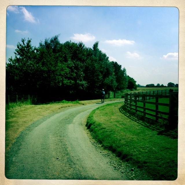
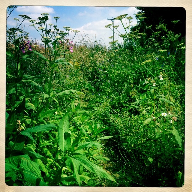
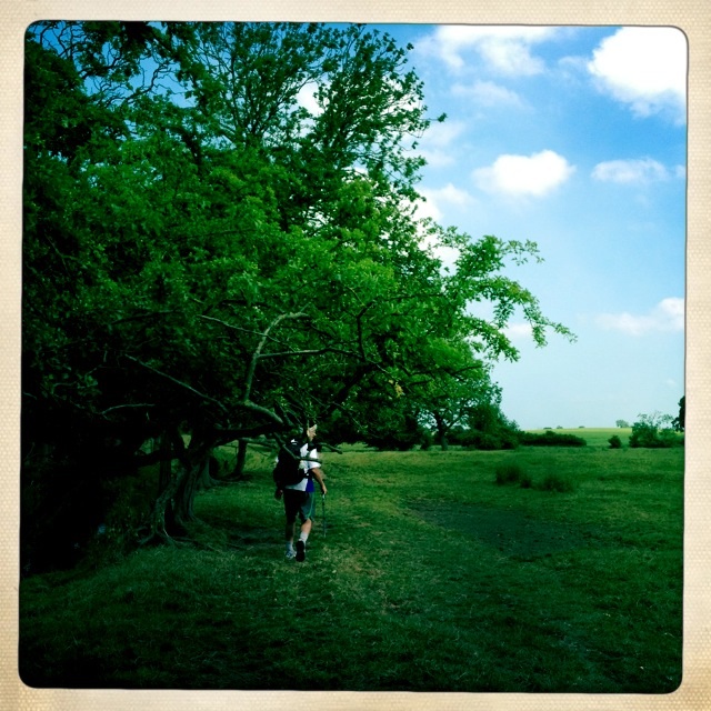
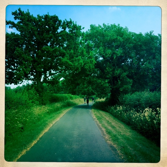
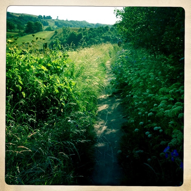
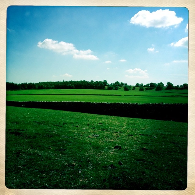
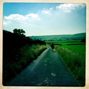
After walking through a bit of the village we headed for the footpath along the stream. Farmlands were all around us too.

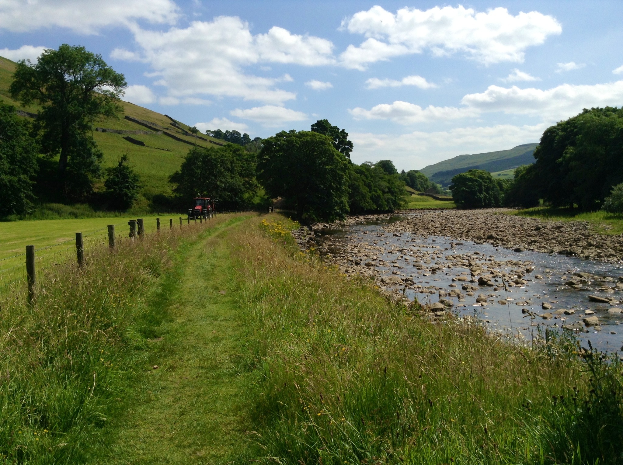
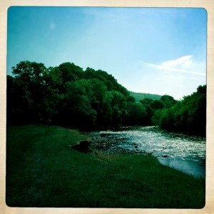
Footpath along stream
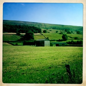
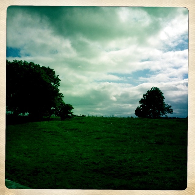
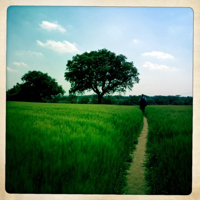
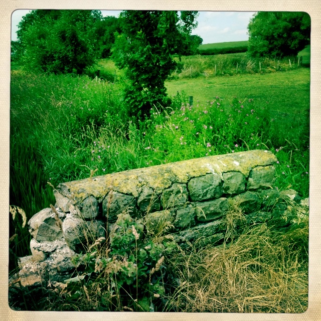
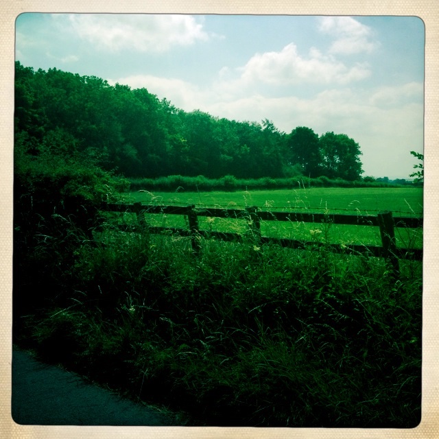
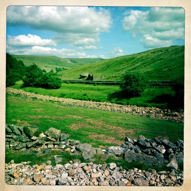
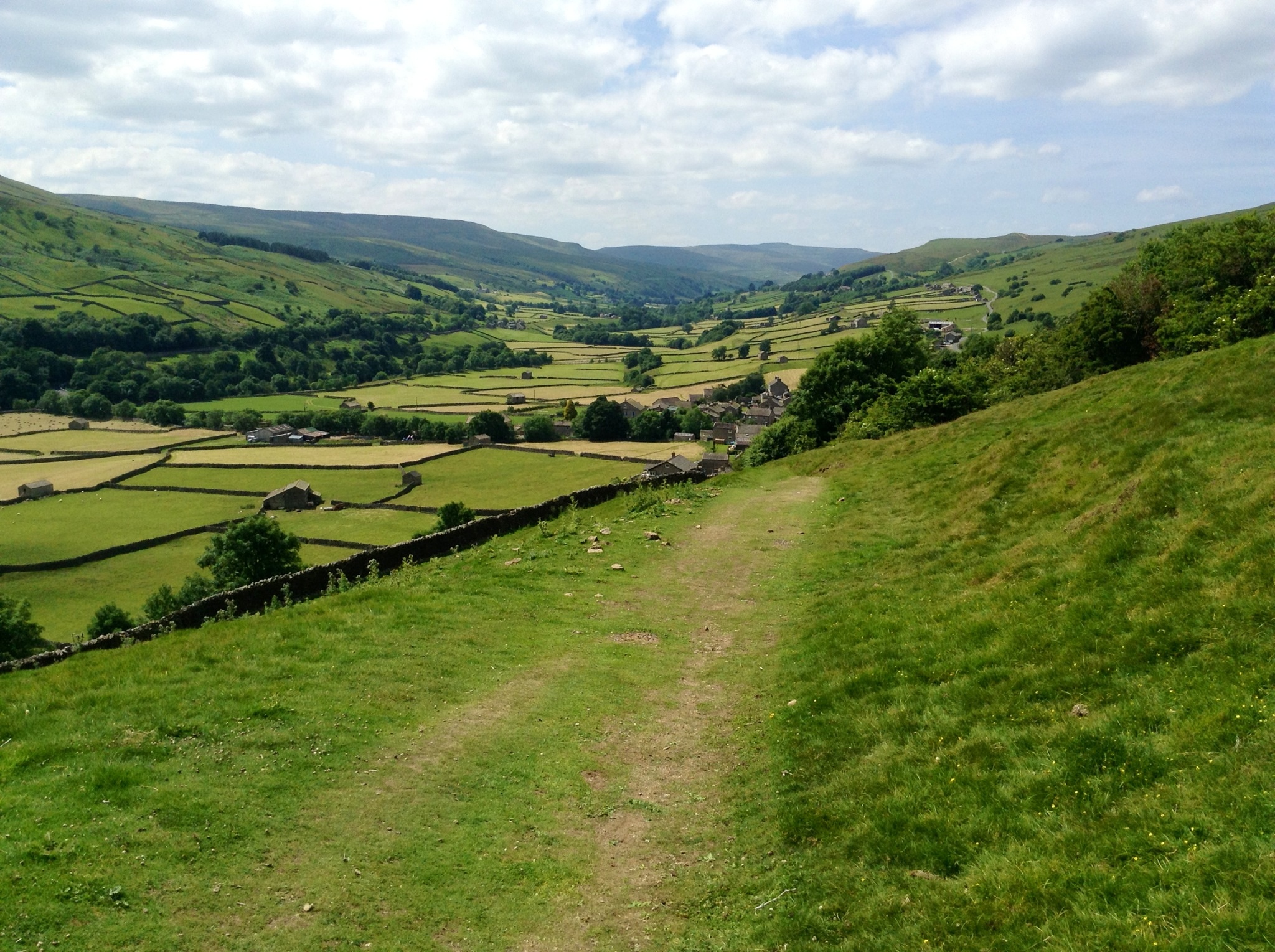
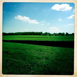
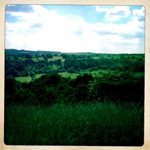
View of fields leaving Reeth
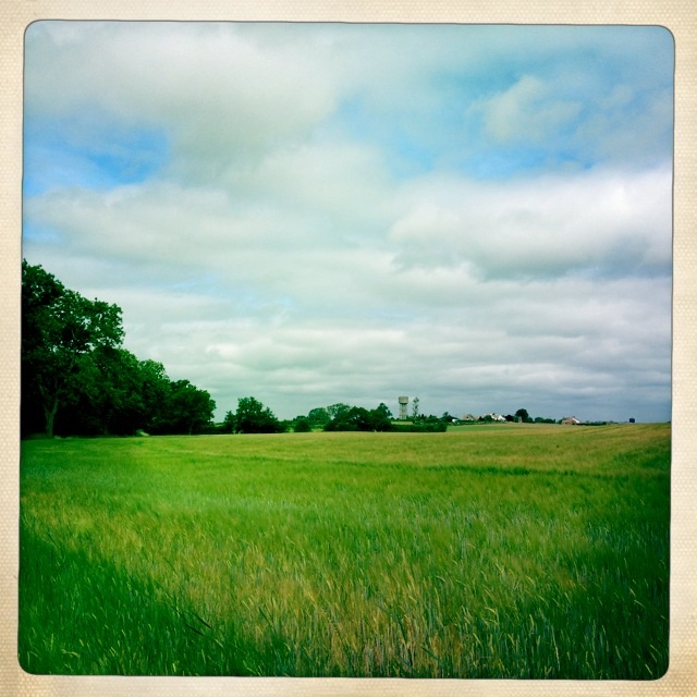
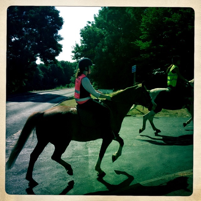
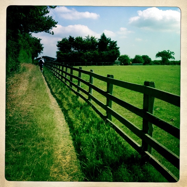
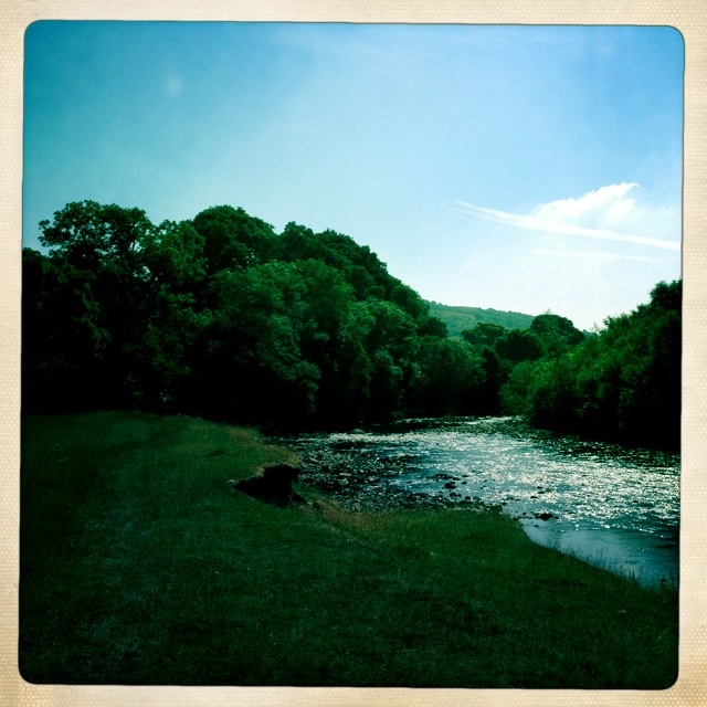
The path continued and the stream joined the River Swale. We saw a man throwing sticks into the water for his dog to chase. It was already warm and tempting to join them.
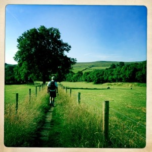
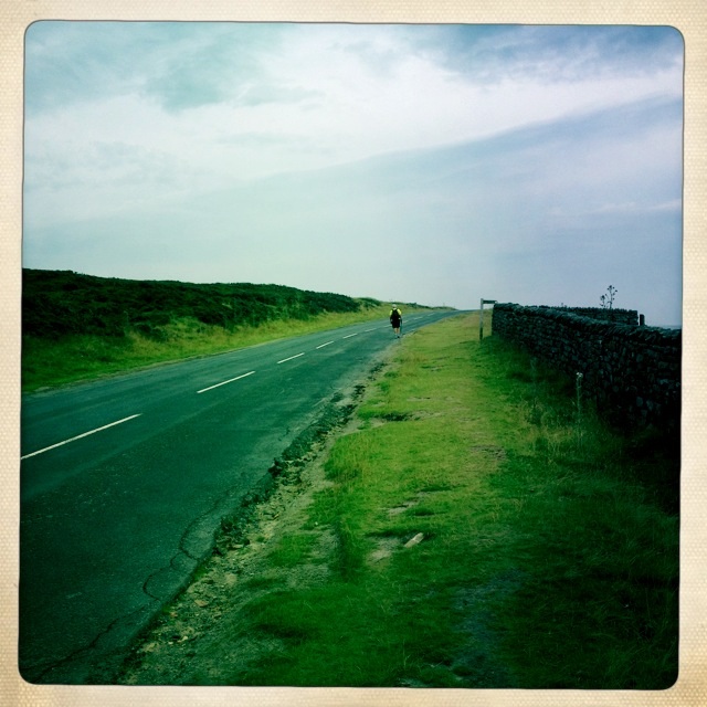
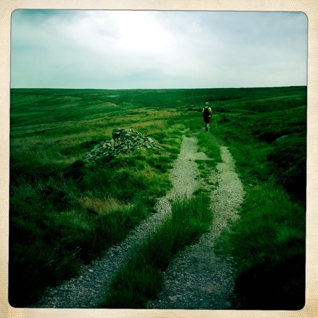
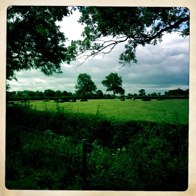
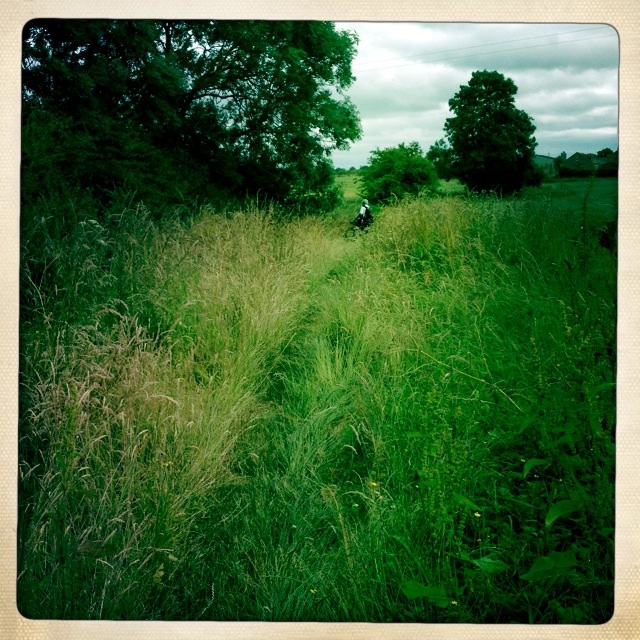
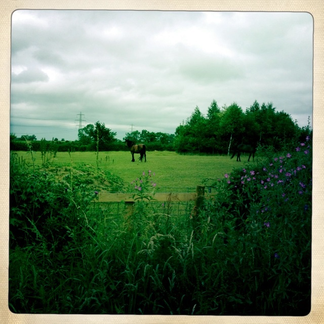
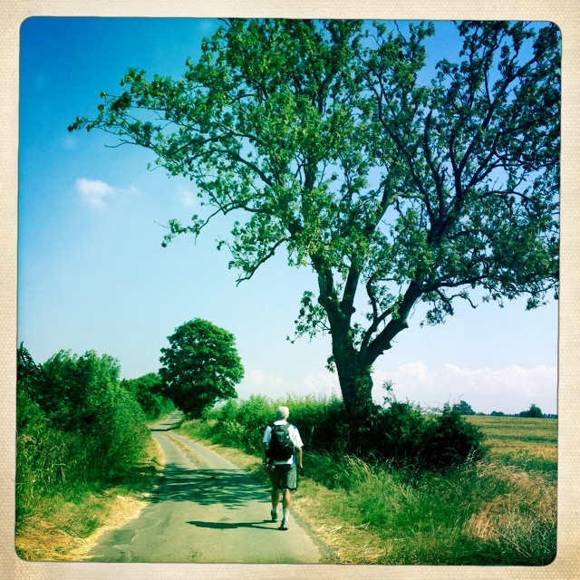
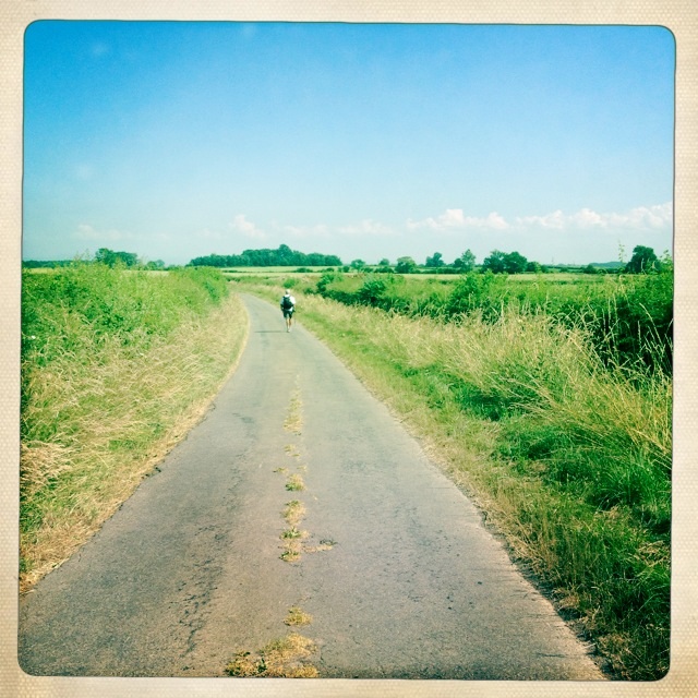
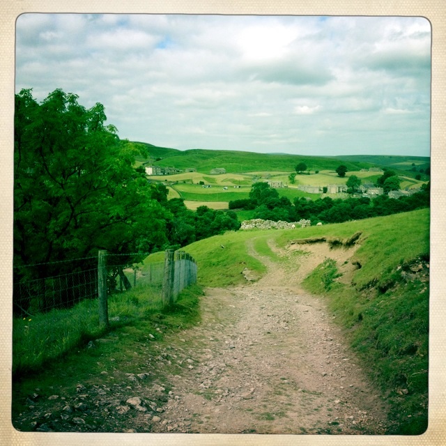
Footpath through fileds
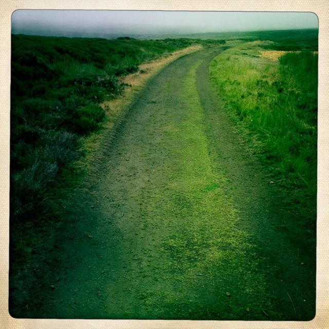
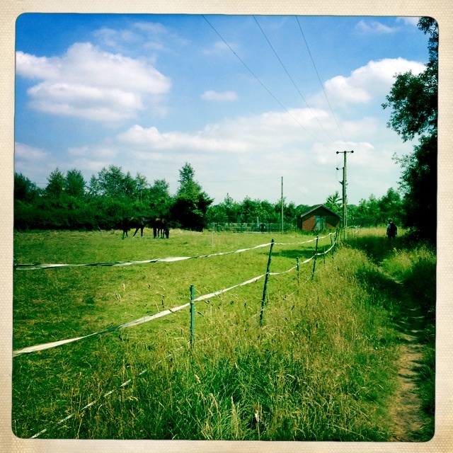
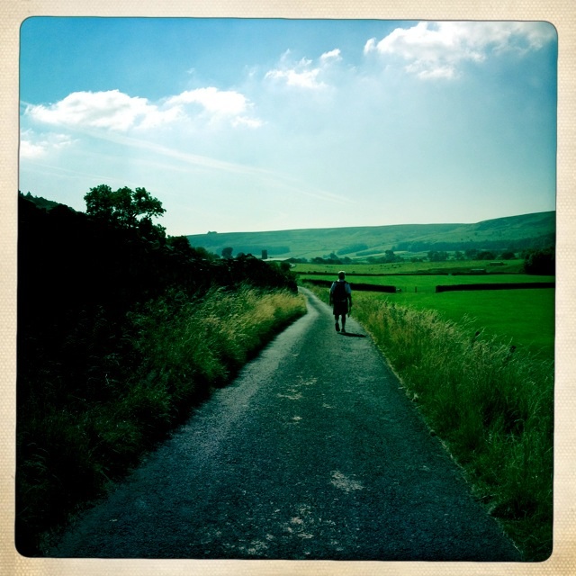
Our path then took us down by the river on a narrow, steep, muddy, rocky and thankfully short walk that left us on a farm road.
On farm road
We were off the mapped route, but a nice older cople assured us that the road lead to the Marrick Priory.
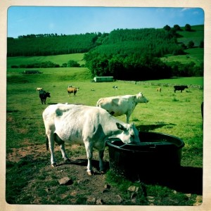
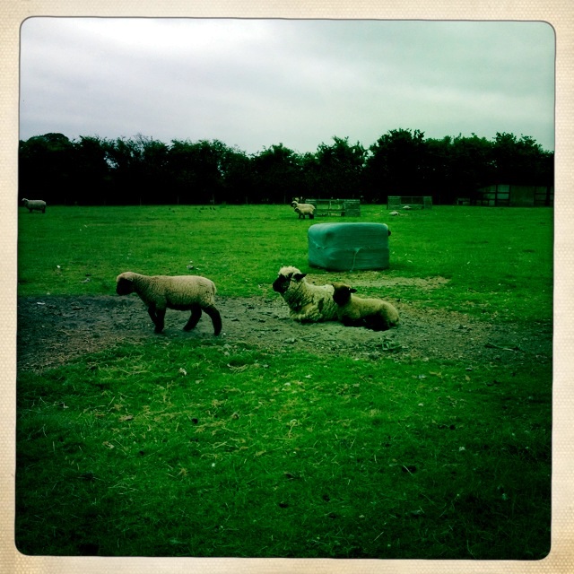
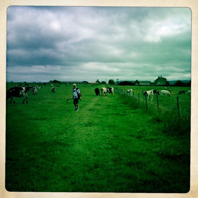
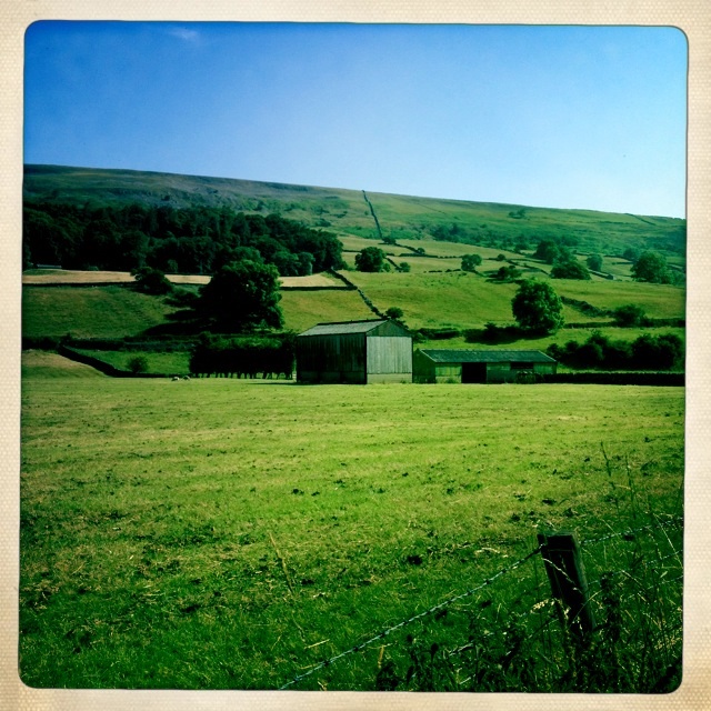
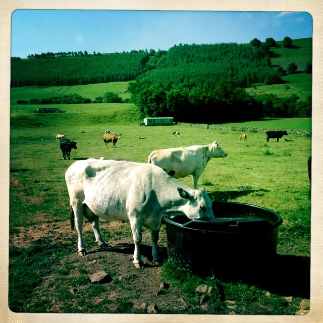
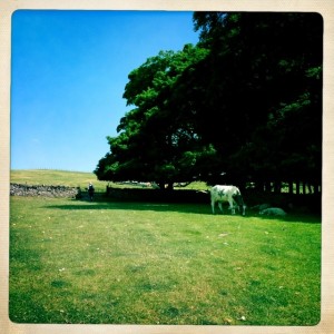
Cows, cows, cows

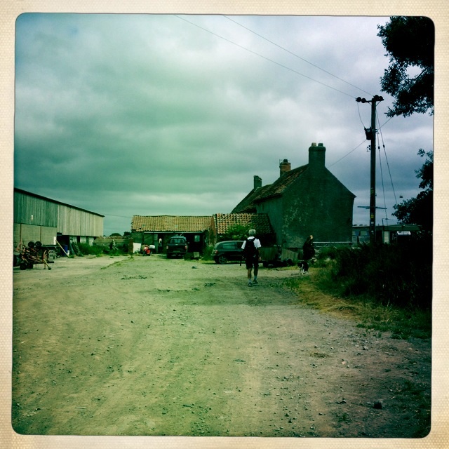
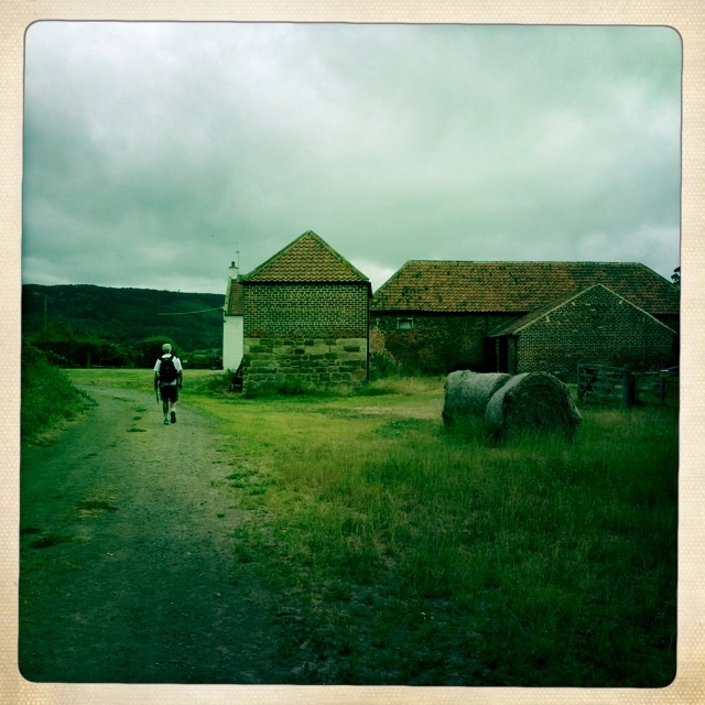
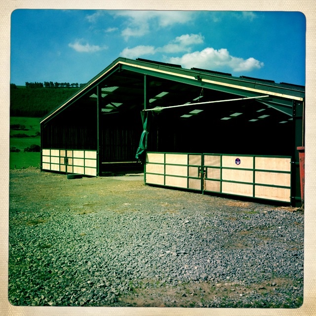
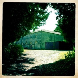
This was one of the first non-stone barns we have seen on our walk.
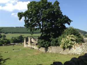
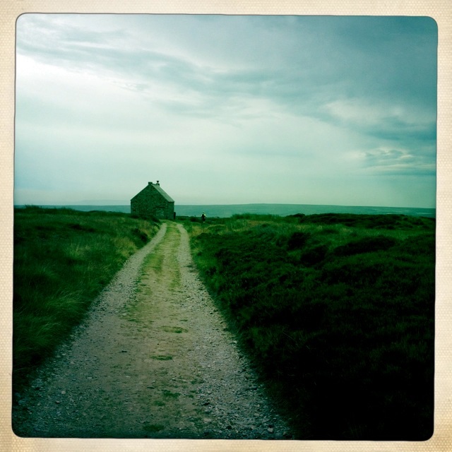
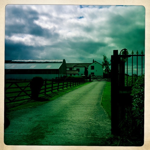
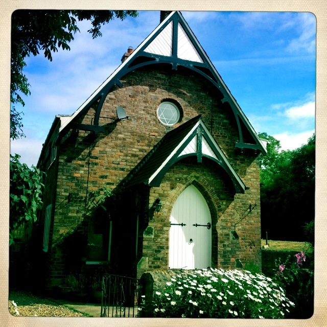
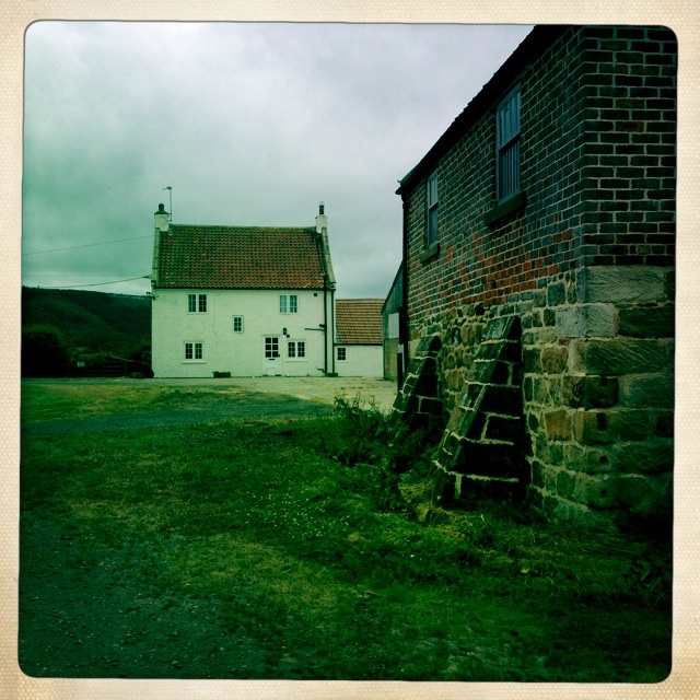
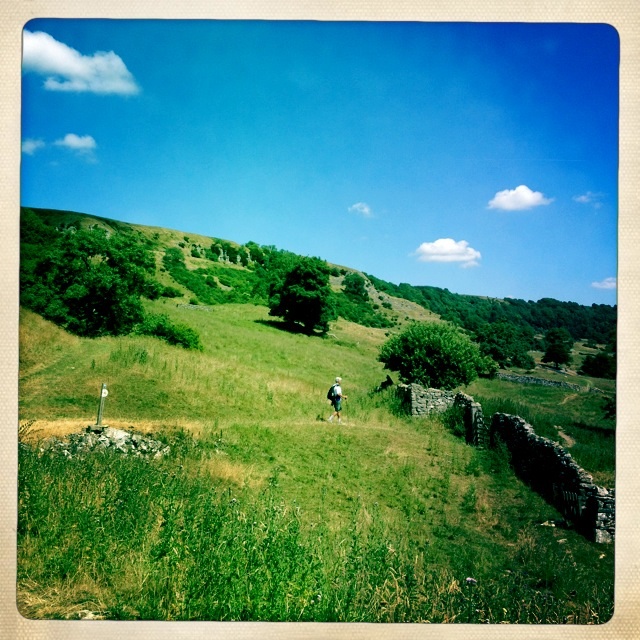
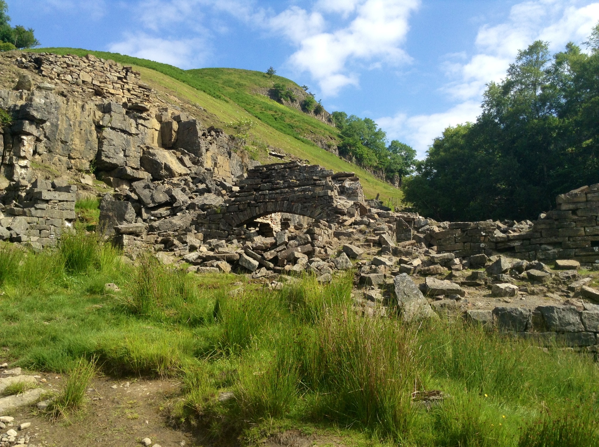
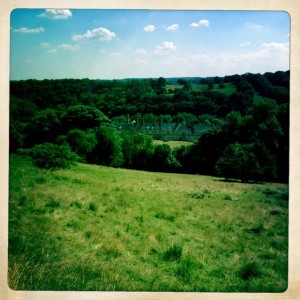
Marrick priory outdoor Center
We met two shirtless, strapping young men by the Priory. They were doing the Coast to Coast in 8 days as a fund raiser for prostate cancer research. Their leg of the trip for today was 30 miles! One offered to take picture of us.
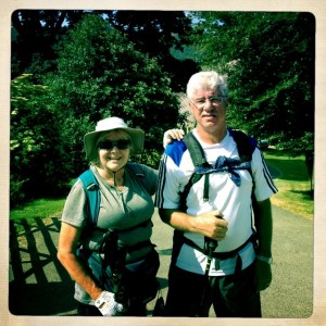
Mary and Tony by the Priory
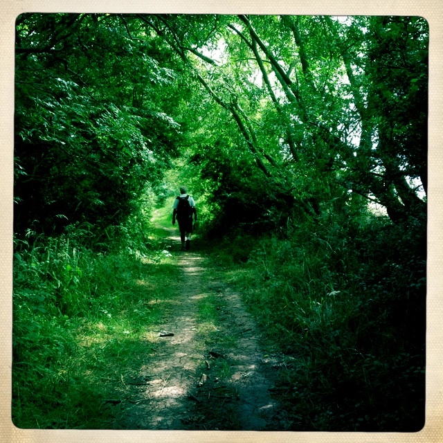
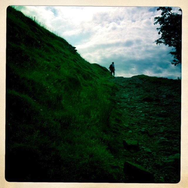
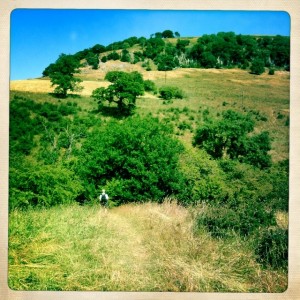
After we left the Priory we headed onto a path that lead uphill. The Nuns’ steps offered some lovely shade and a fairly sure footed climb up above the valley.
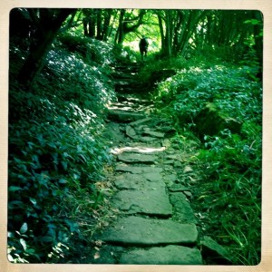
Nuns’ Steps
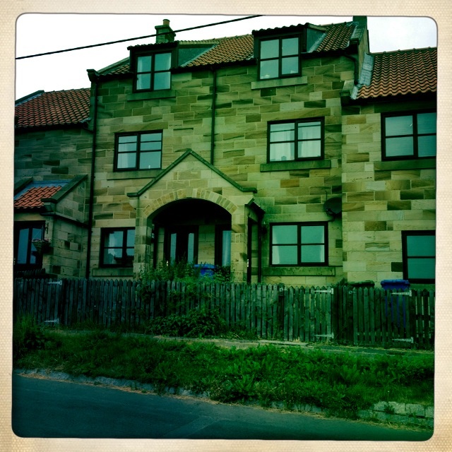
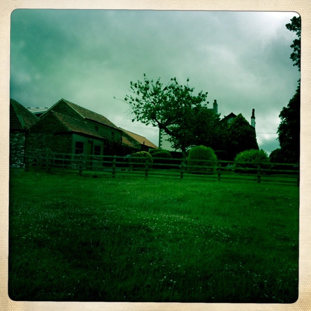
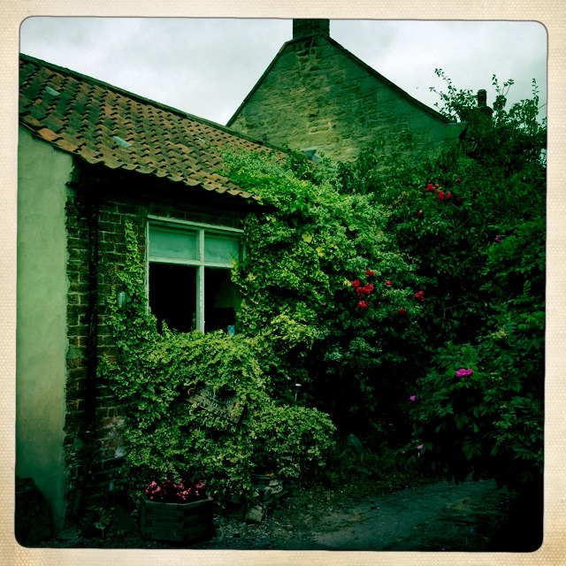
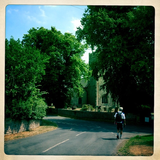
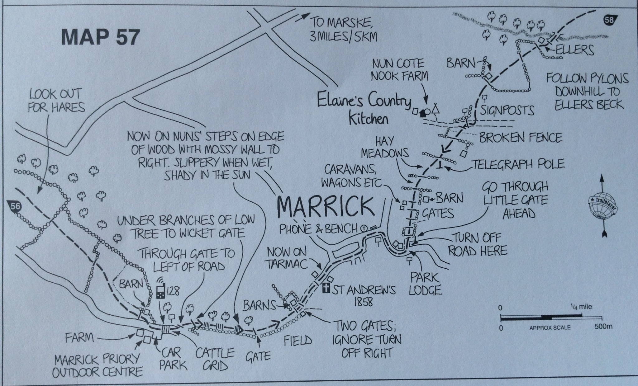
We passed through a collection of buildings which make up the village of Marrick.
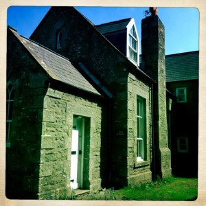
Marrick – old Schoolhouse
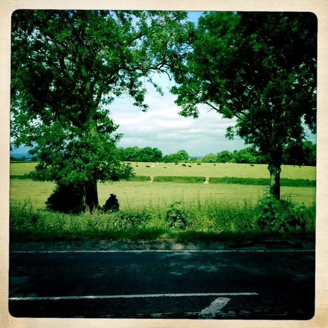
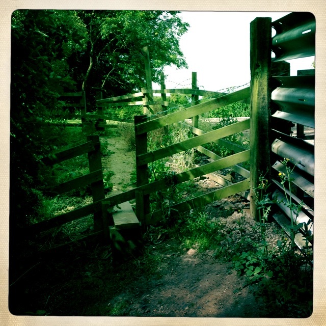
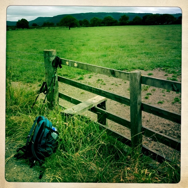
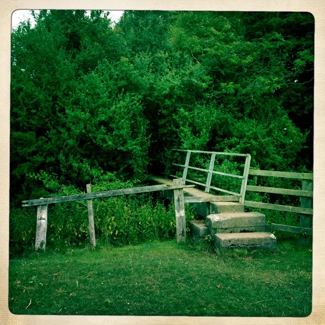
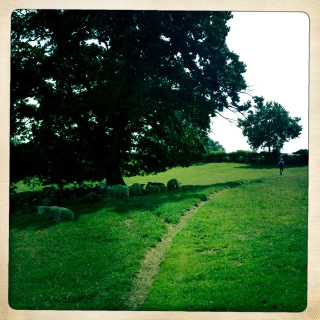
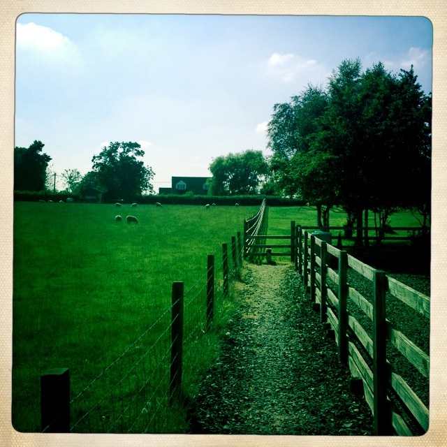
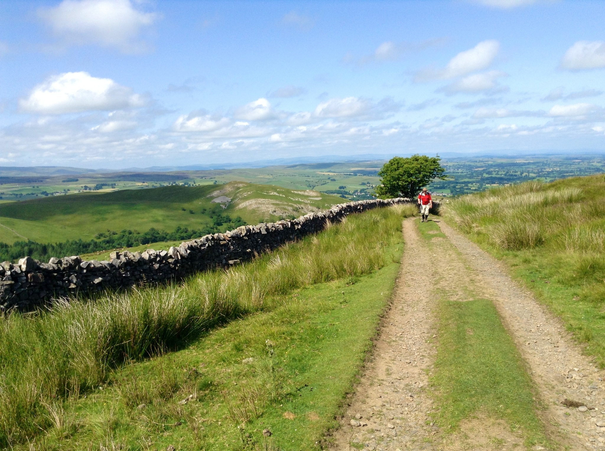
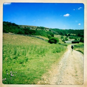
Then we were once again walking through pastures, and climbing gates and stiles.
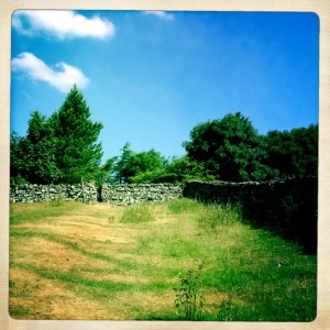
Walking through pastures and then over gates
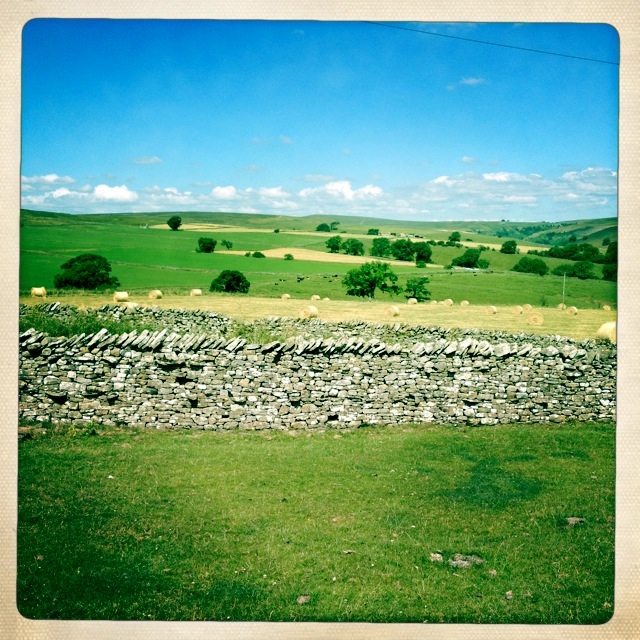
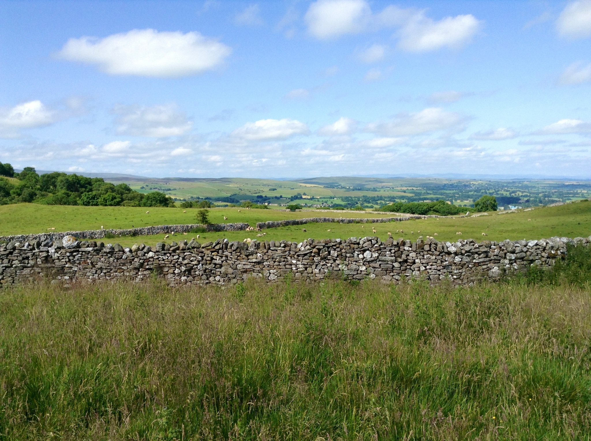
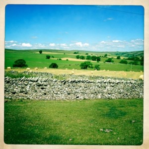
Stone walls and pastures
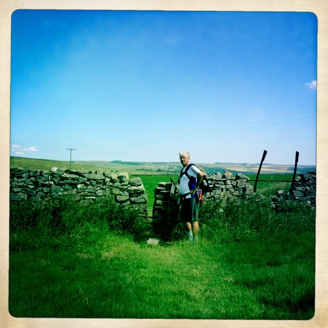
Tony going through the narrow gate.
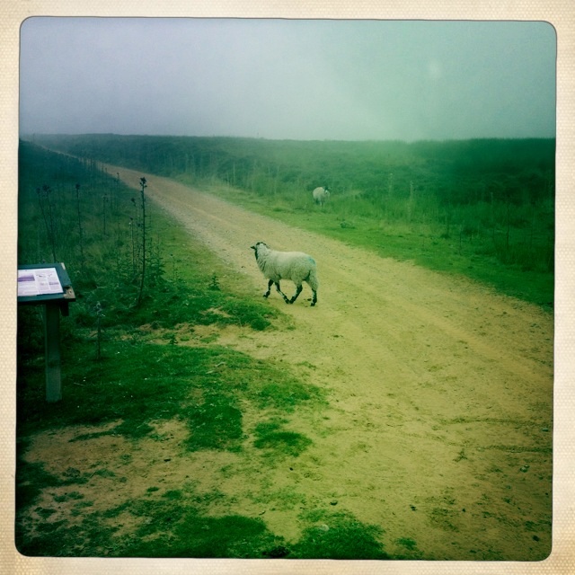
I stopped on the hill heading down to the next pasture and watched the farmer and his dogs expertly round up a flock of sheep and take them to a new pasture.
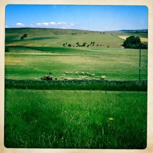
Farmer and dogs rounding up sheep

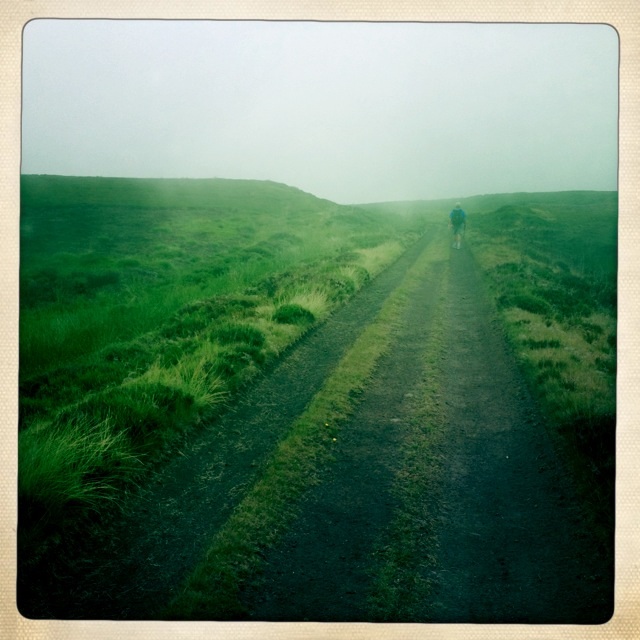
Tony watched and waited below
We didn’t stop at Elaine’s Country Kitchen for lunch, because we thought we could get some in the next town, Marske, which was our day’s halfway point.

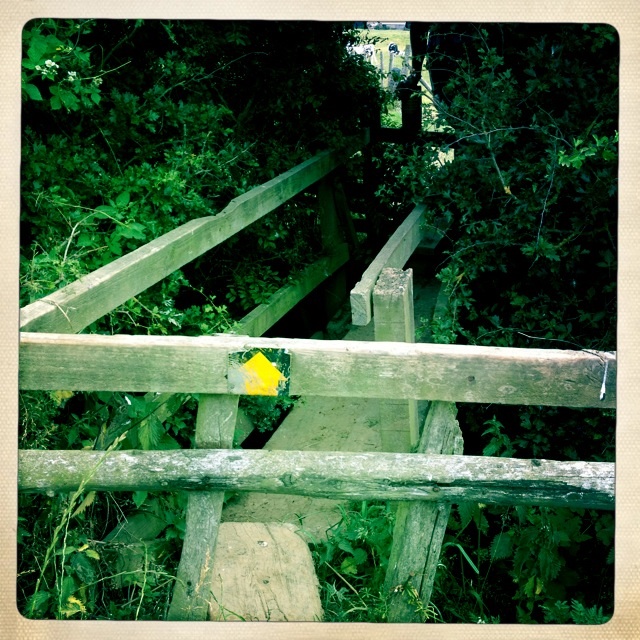
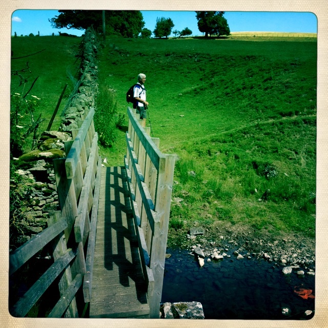
Crossing narrow footbridge
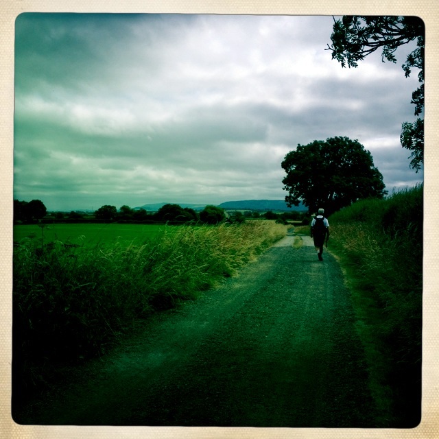
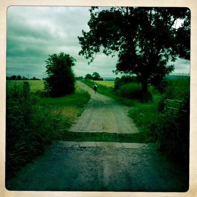
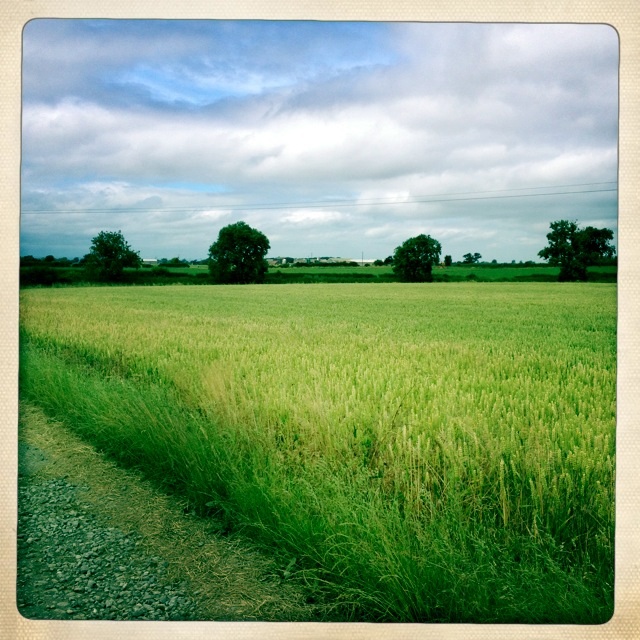
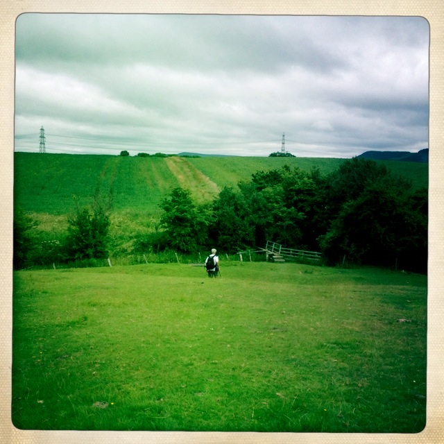
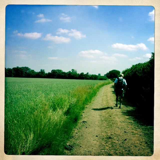
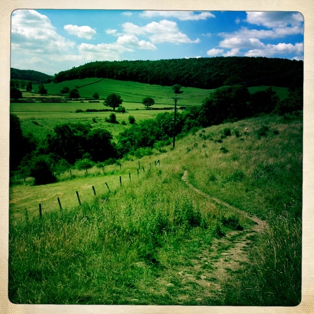
Our path continued traversing through fields and gates.
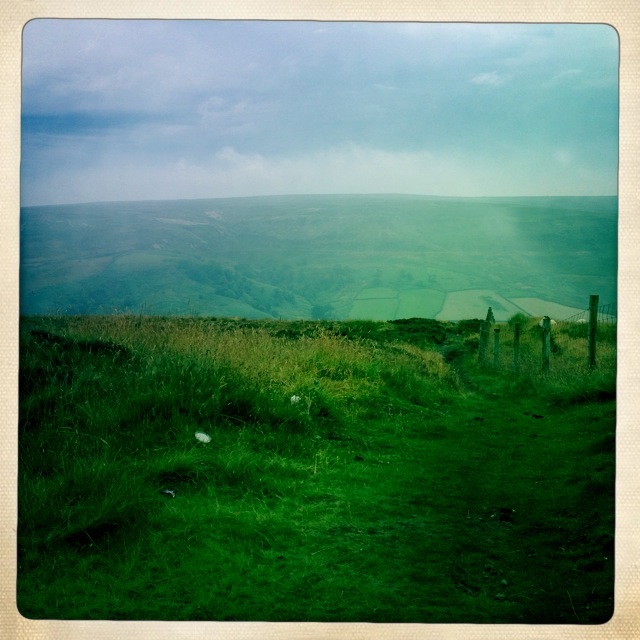
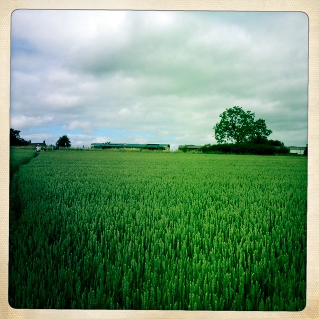
Walking through fields
Hay bales
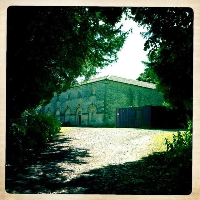
Marske Hall
There was not much to the town of Marske and certainly no place to get food. Luckily we had brought Balance Bars, or we would go hungry.
Town of Marske some charming stone Buildings, but no food or drink.
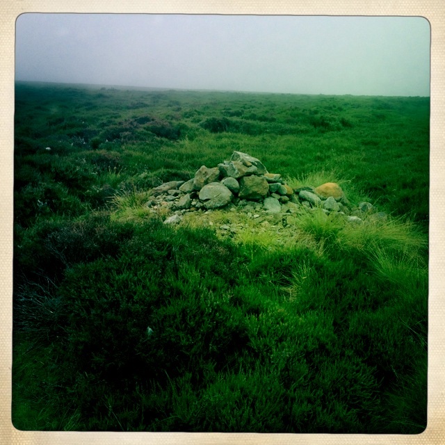
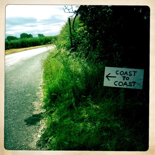
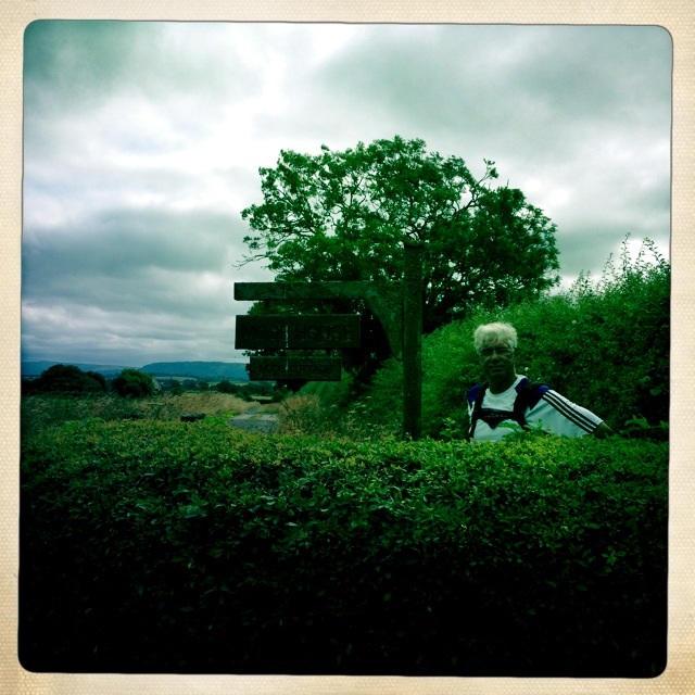
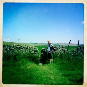
We met Wolf and Nicola on the road past Marske and we all searched for the hidden signpost. It brought us into pasture lands with warnings about cows with their calves. You could see a white cairn on the hill ahead.
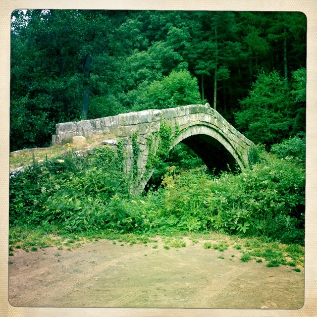
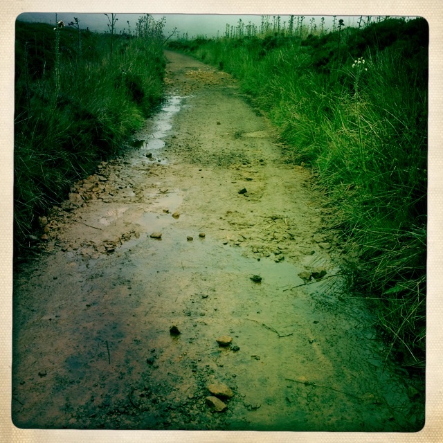
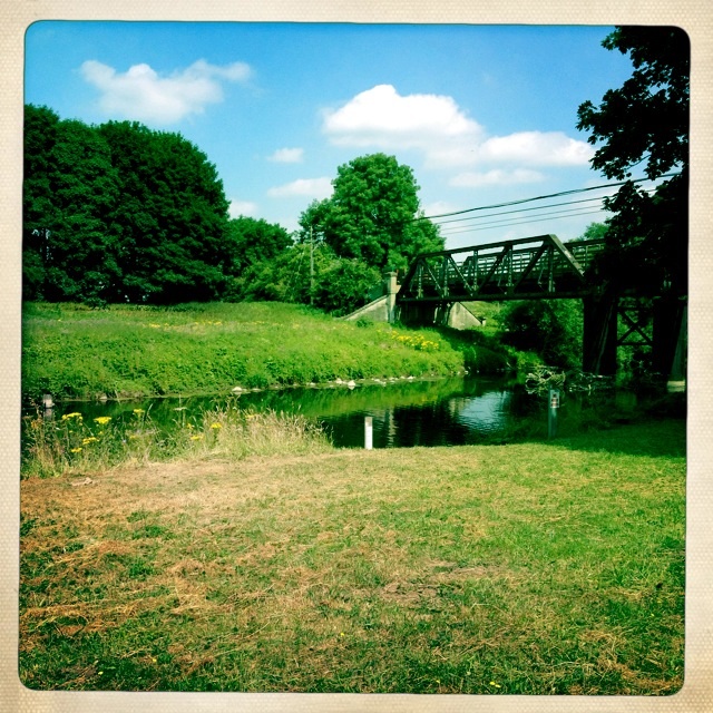
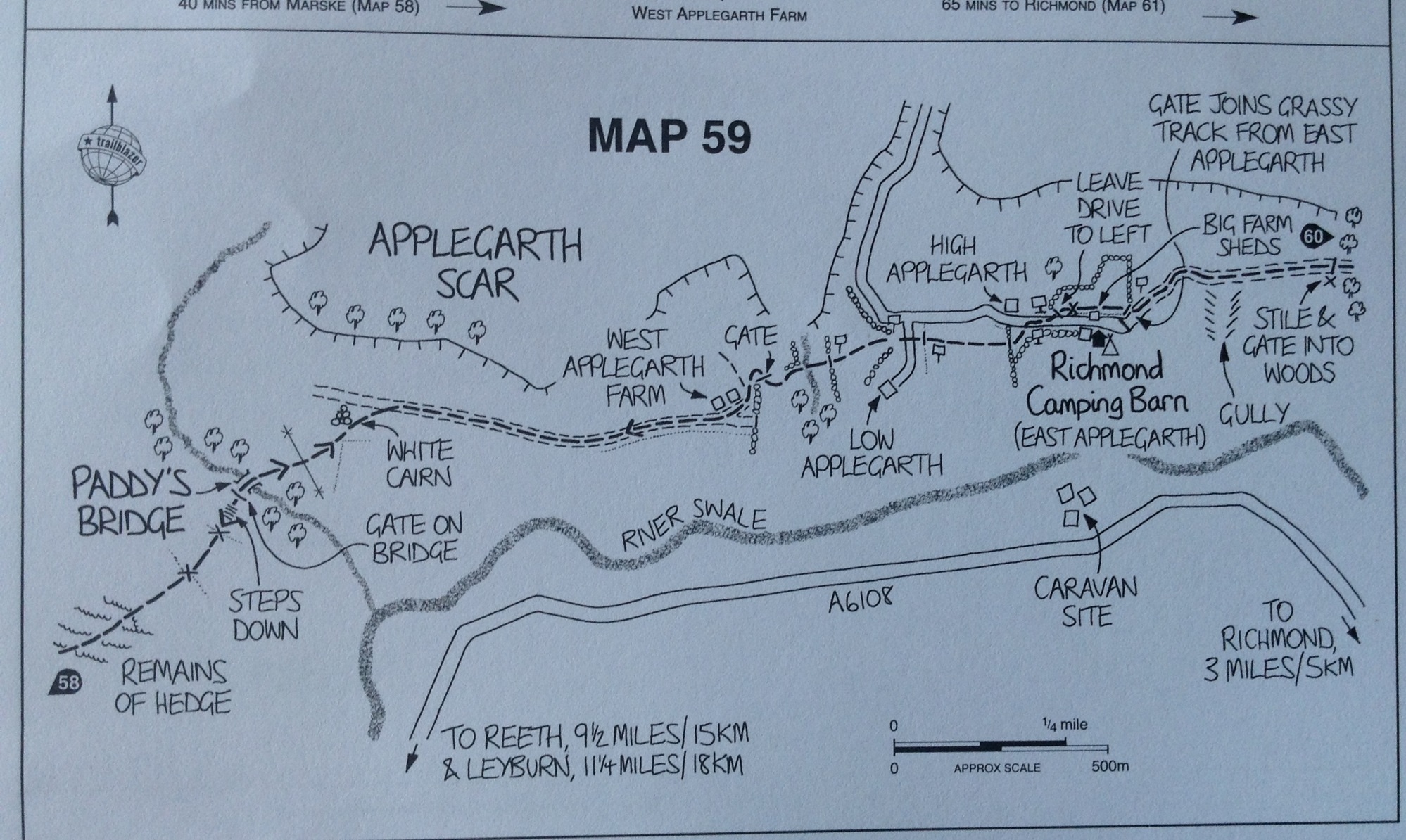
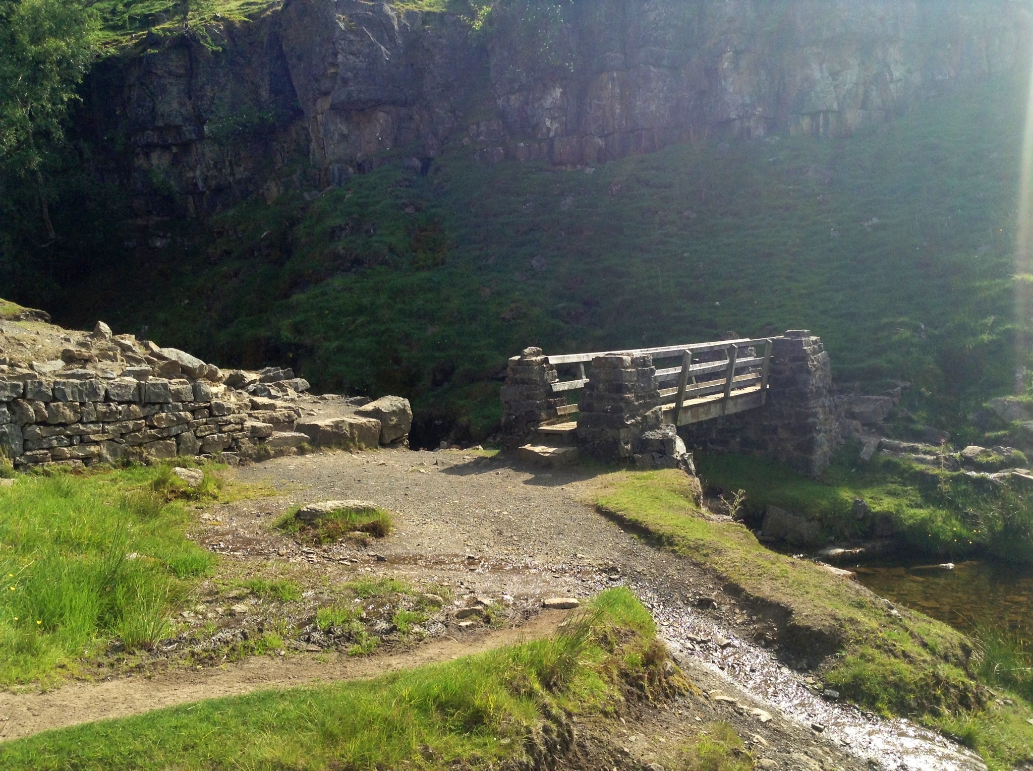
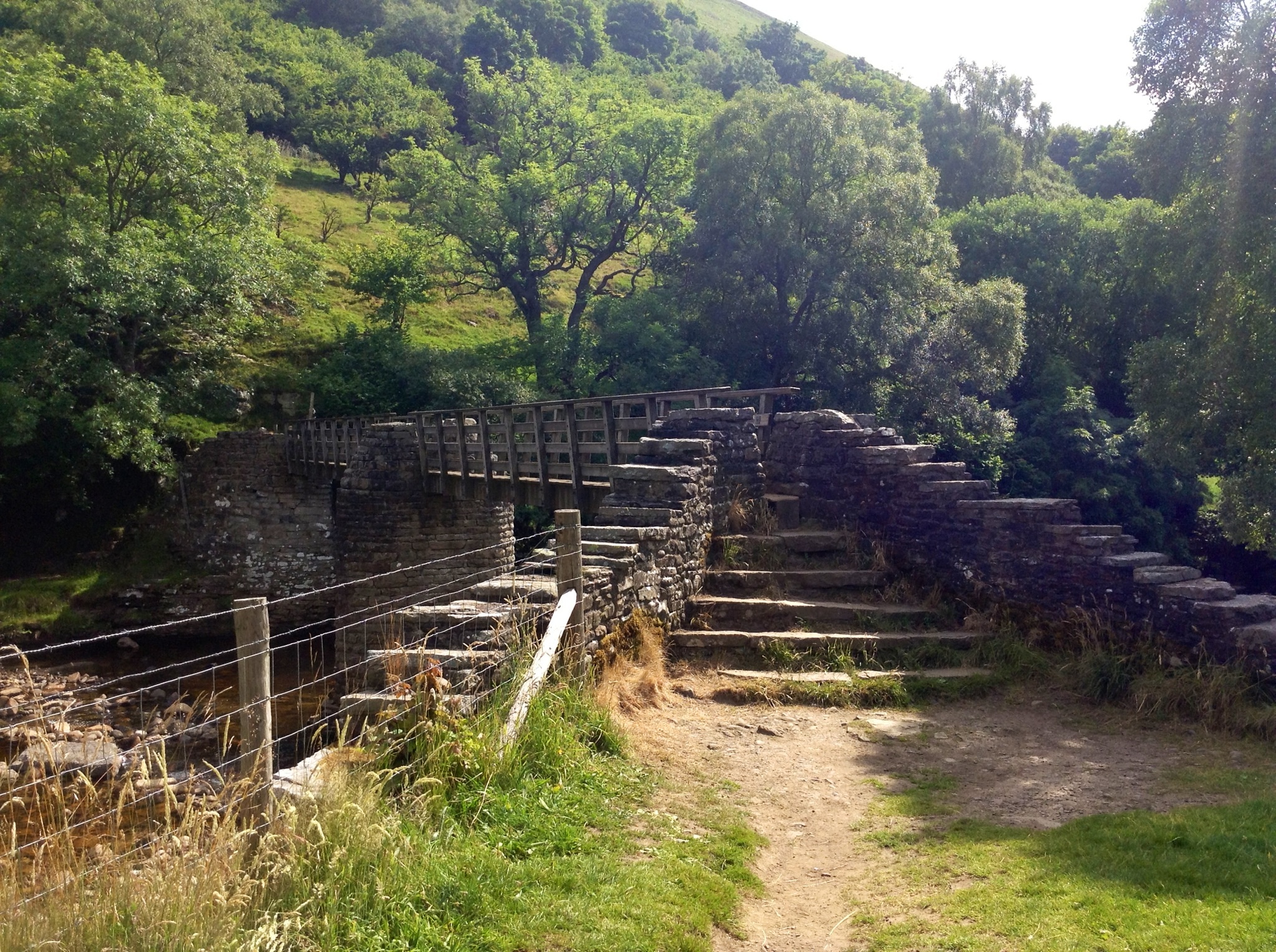
We carefully skirted the edge of this pasture as it was filled with cows and young calves. The pasture was fenced and we climbed the stiles and followed the trail down a stepped path to the stream where we crossed Paddy’s Bridge.
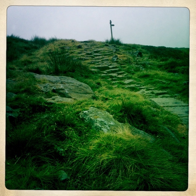
Trail in pasture dips down to a stream and climbs back up to white cairn on top

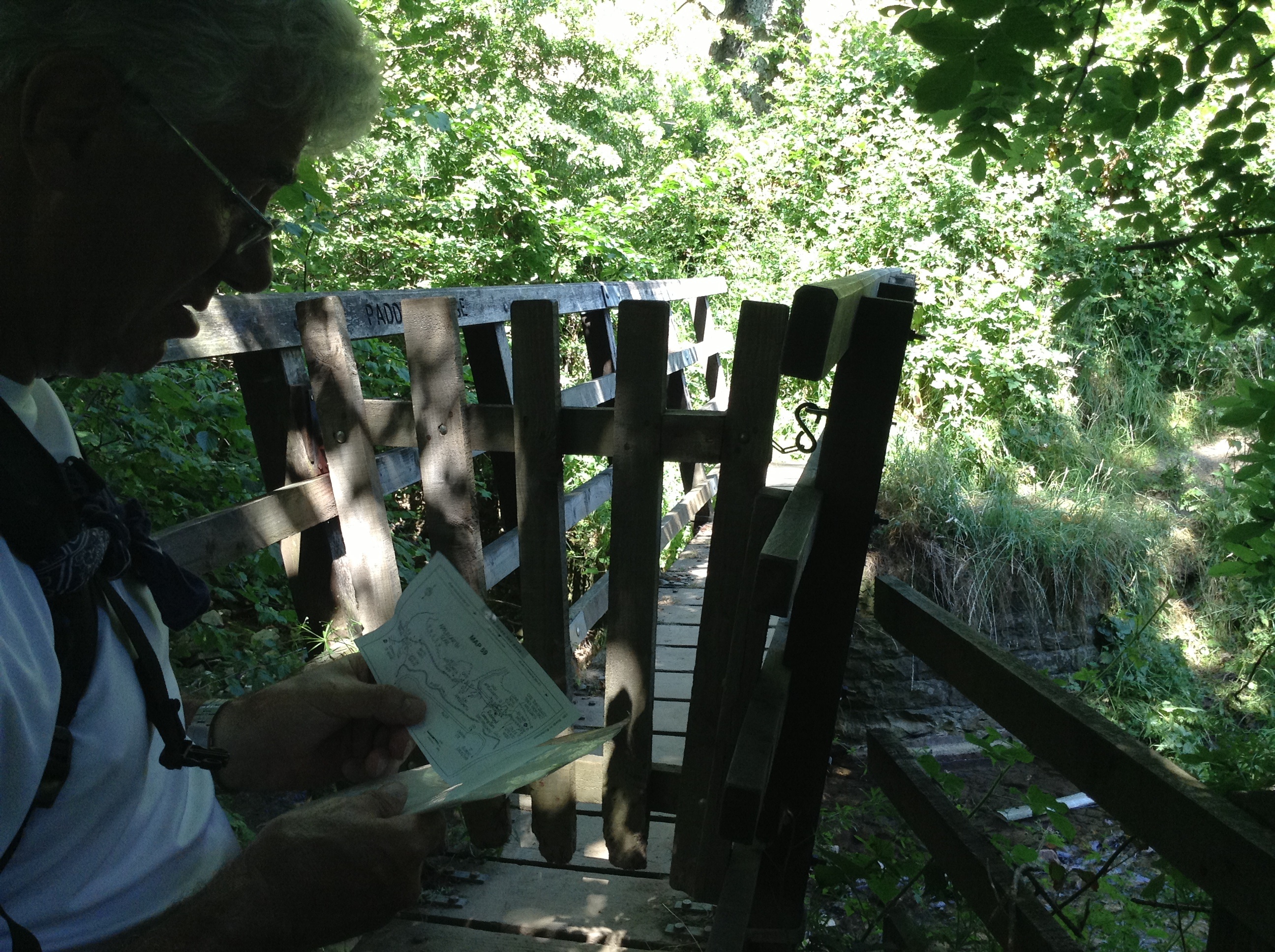
Paddy’s Bridge
Once we crossed the bridge it was back uphill following the path as it lead to the white cairn.

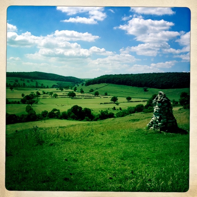
The white cairn and looking back at valley.
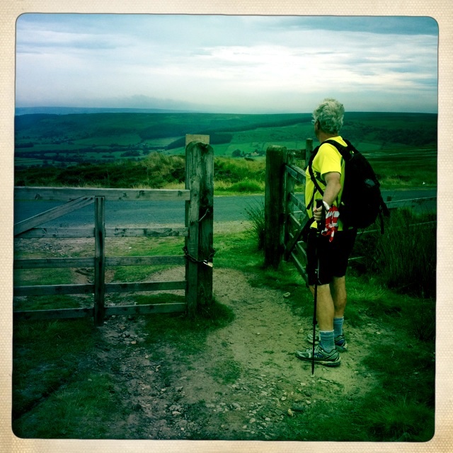
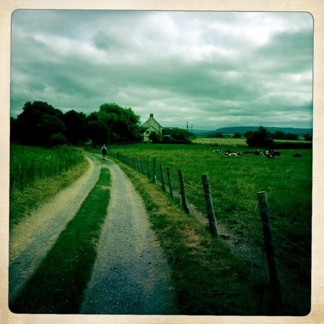
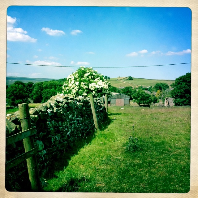
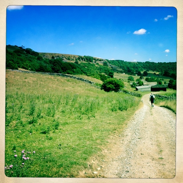
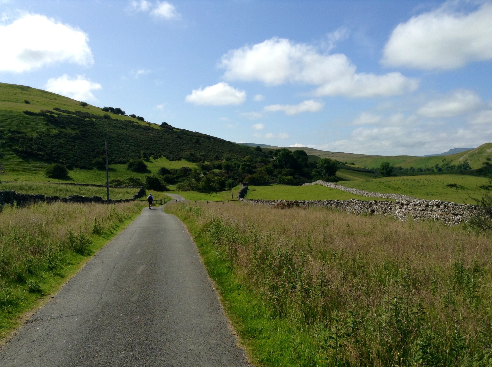
On road by Applegate Farm

Applegate farmland

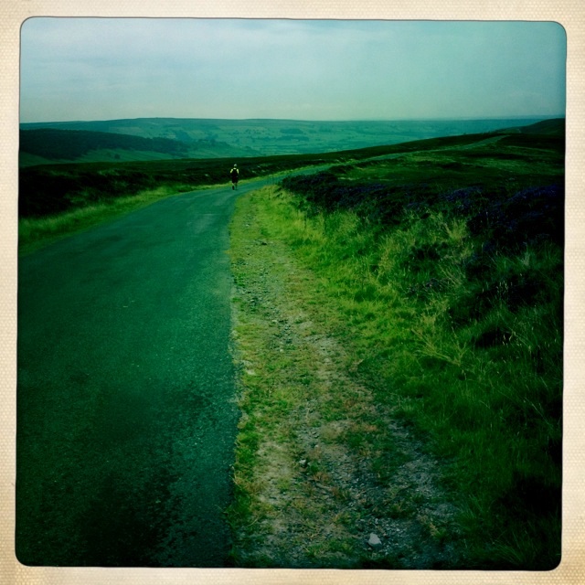
Path on Applegate farmlands
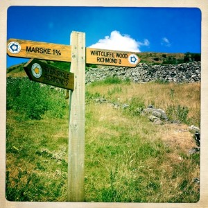
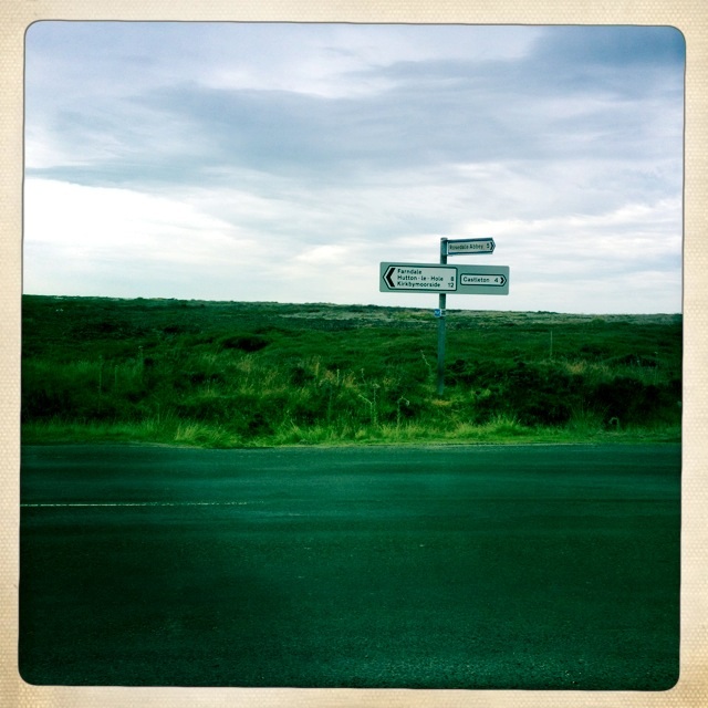
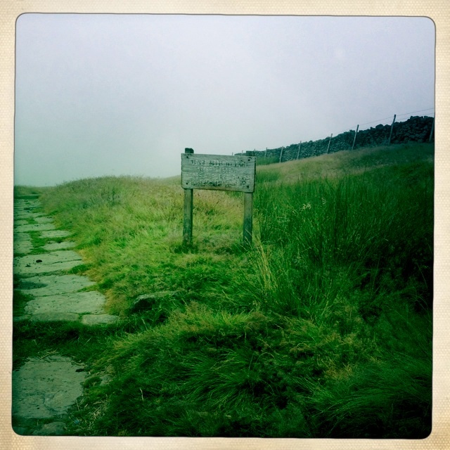
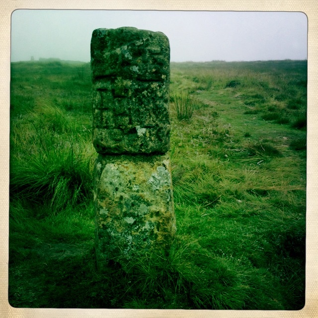
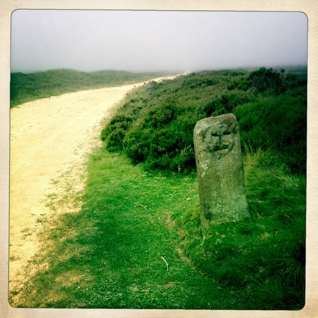
Signpost
Applegate farm continues

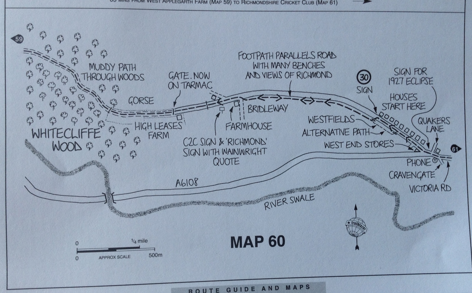
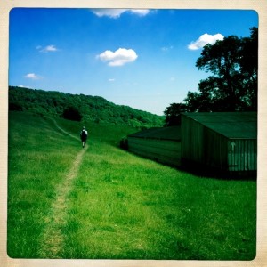
Whitecliffe Woods ahead
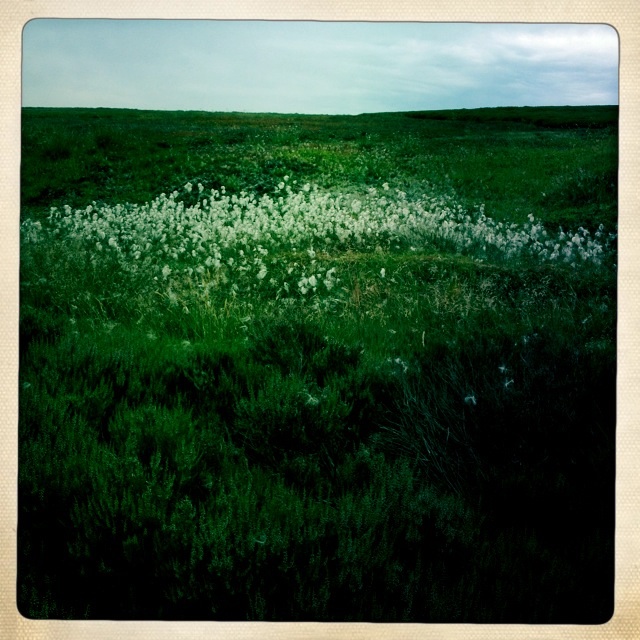
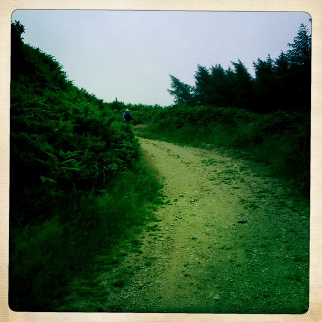
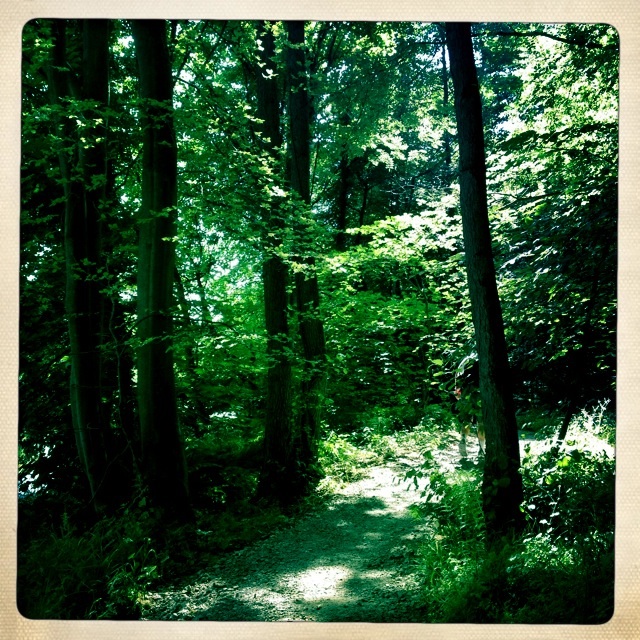
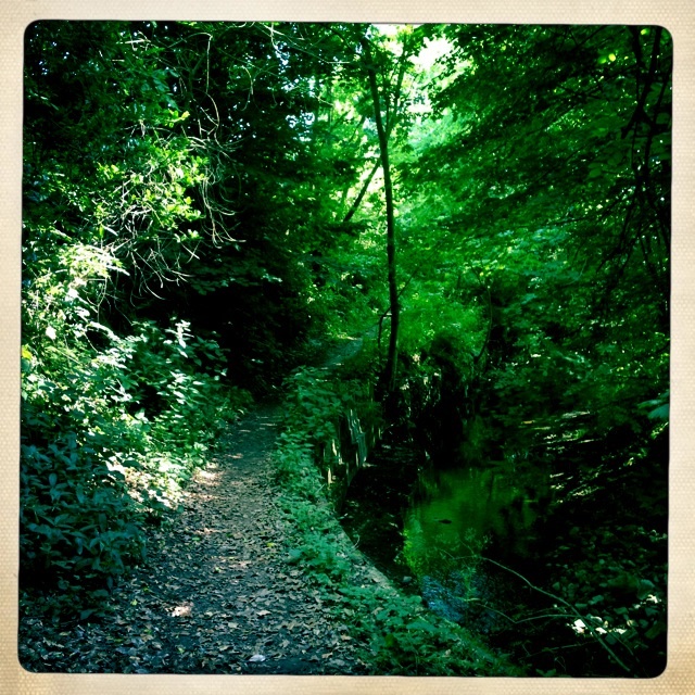
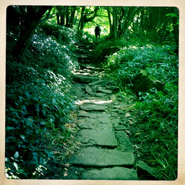
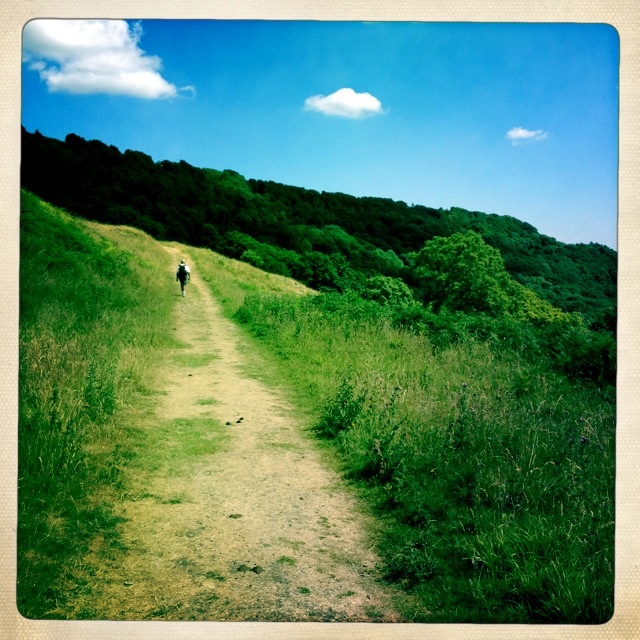
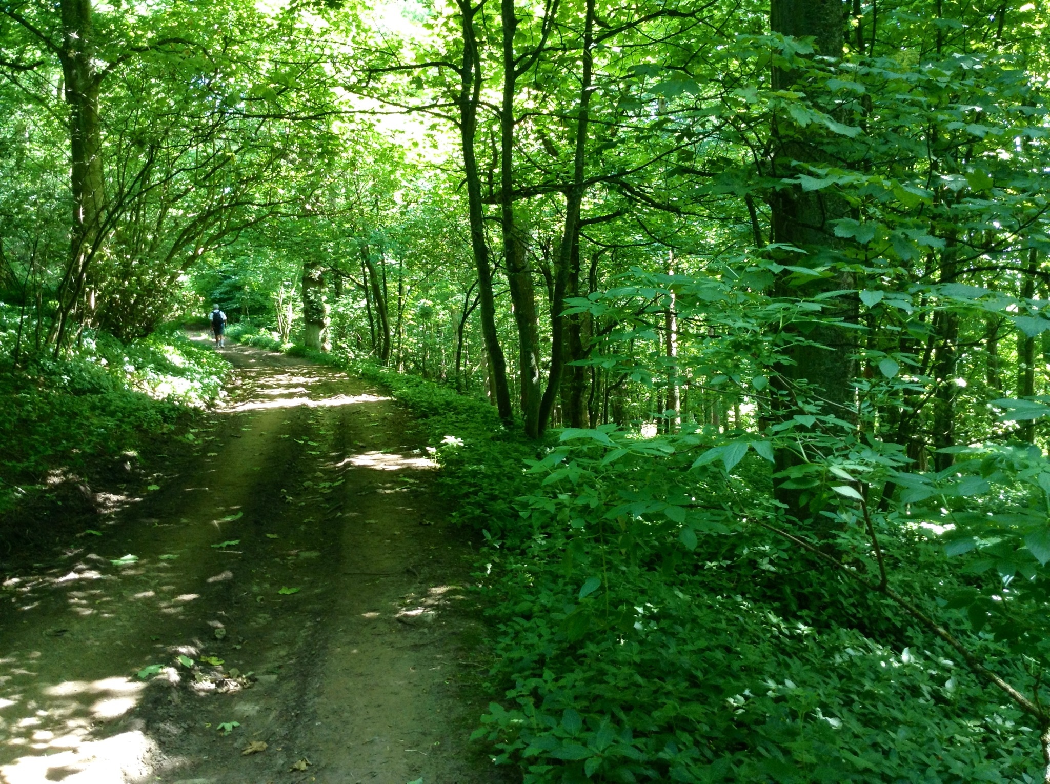
It was lovely and cool in Whitecliffe Woods, a very welcome respite from this rather hot day in northern England.

Whitecliffe Woods
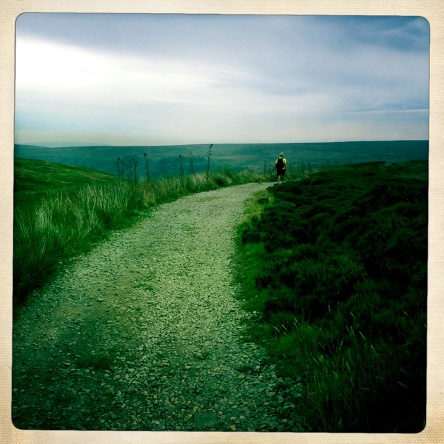
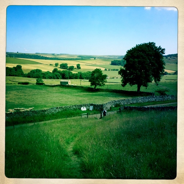
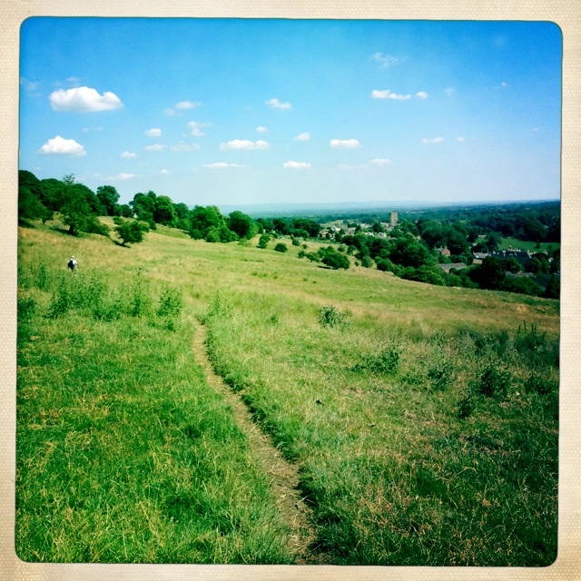
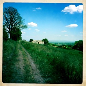
Out of the wood walking on a wide track above the valley, we could see Richmond. Off the road a footpath lead right into town.
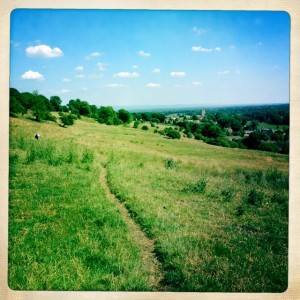
First views of Richmond
Views of Richmond
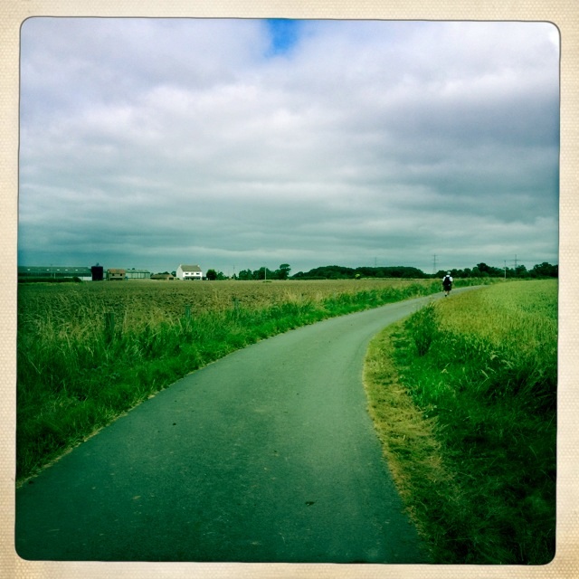
Footpath to Richmond
Almost there
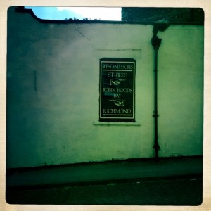
Sign as we entered west end of Richmond
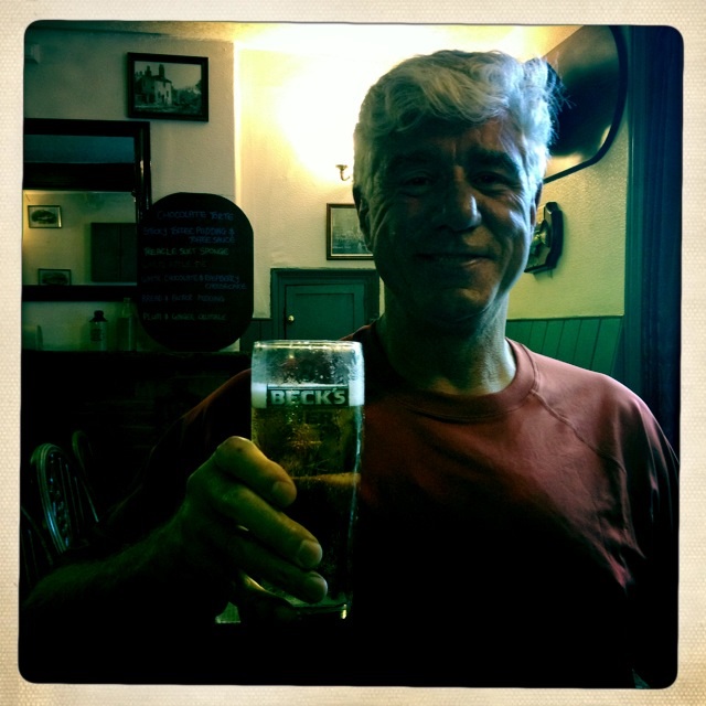
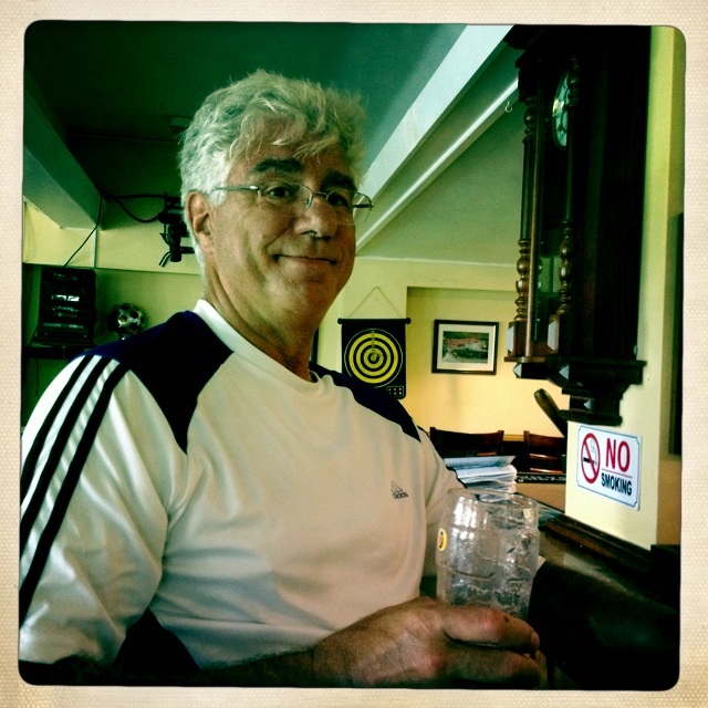
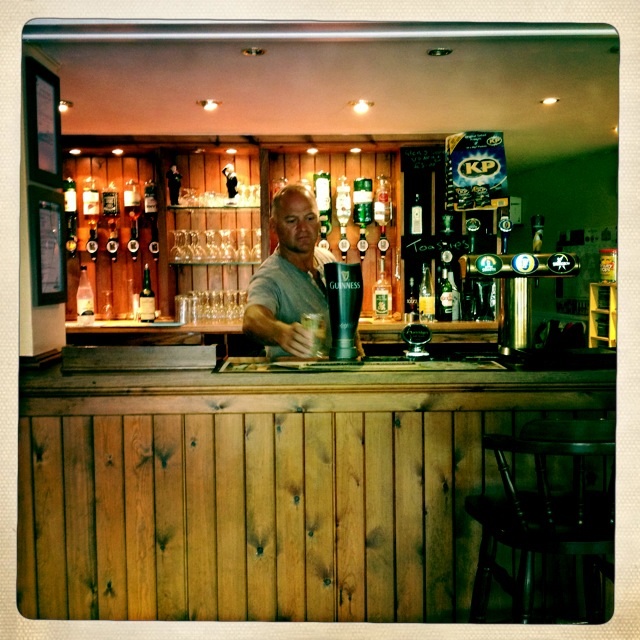
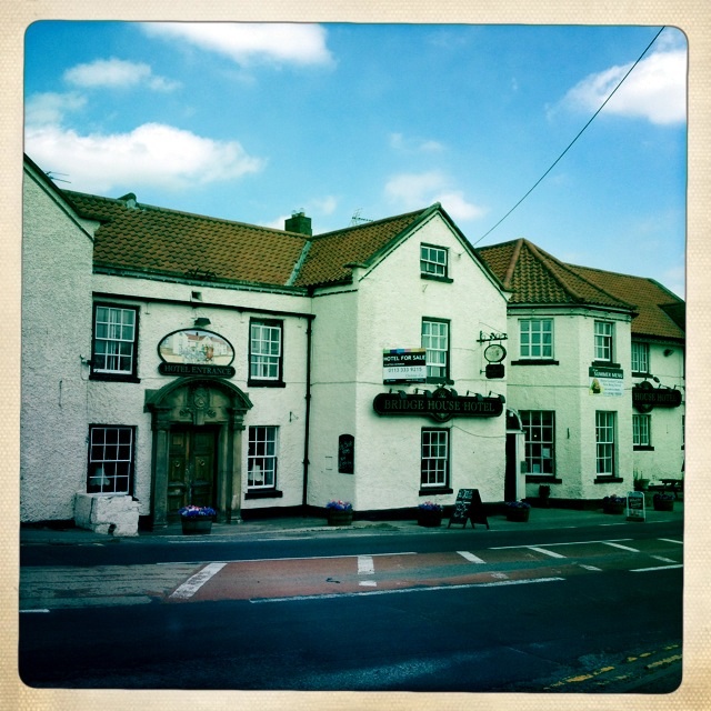
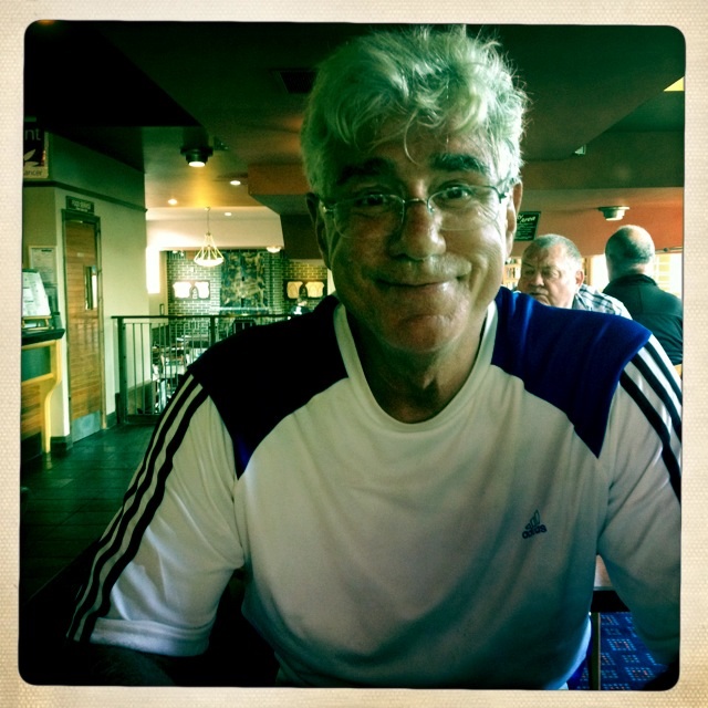
Our B & B is the Rosedale Bed and breakfast, a charming Georgian House in town. Before we got there we stopped at a Pharmacy for some more foot plasters for my blisters and at a pub for a cold pint for Tony.
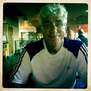
Tony having his first cold pint
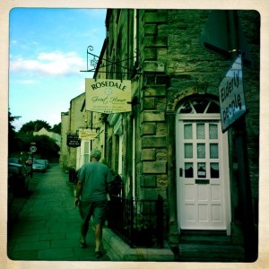
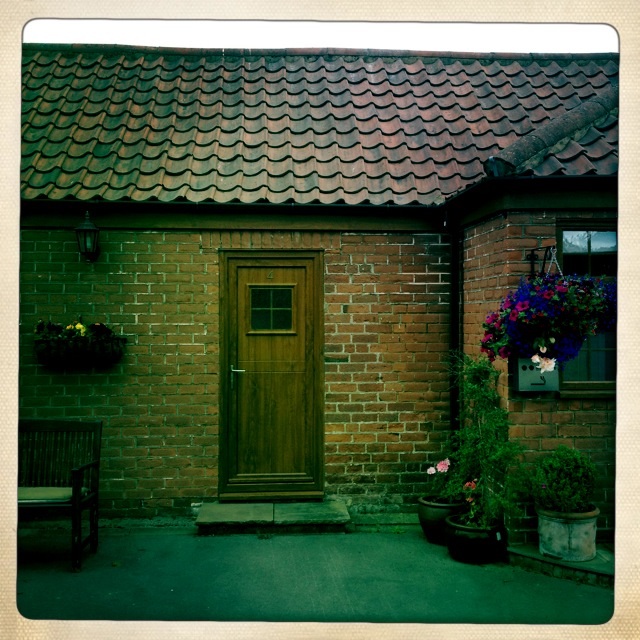
Our b & b
We had a lovely dinner at the Turf and are now resting and soon to be asleep,for tomorrow is another adventure!