Monday July 15 – Orton to Kirkby Stephen

Since we were staying in Tebay which is off the Coast to Coast route, we were given a ride back to the route by our host at the School House Inn. We met their two charming young sons who were helping with breakfast. One of them told me he was the Toast Meister. He earned that title well, as the toast he brought to us was perfect.

The Manor House

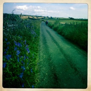
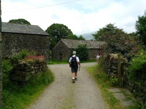
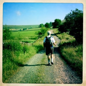
Tony on Knott Lane leaving Orton

Tony on Knott Lane leaving Orton

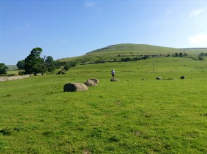
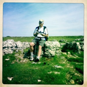
We stopped in the field off of Knot Lane to walk around the Stone Circle. No other information was available about its history. I find these circles inspiring.

Stone circle

Stone circle

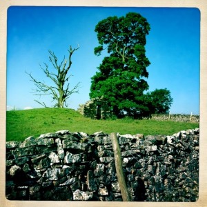
Doorway of ruined building

Doorway of ruined building

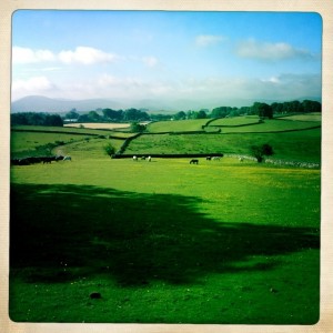
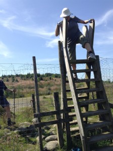
We then walked through pasture after pasture climbing stiles through each one. One pasture had a warning sign that there was a bull in the field. We walked through anyway. Glad I did not wear my red cape.

Walking though pastures

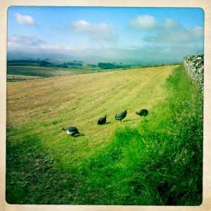
Peahens by the path

Peahens by the path

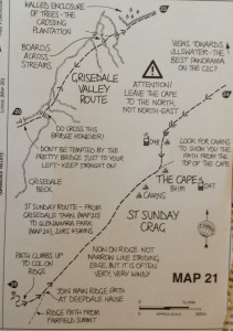
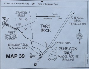
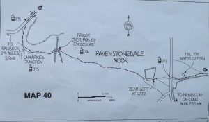
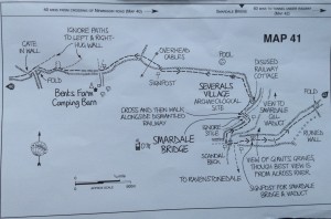
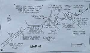
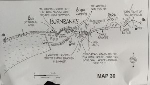
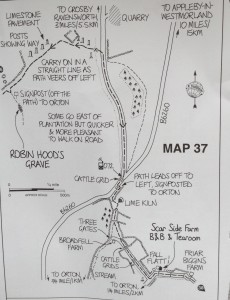
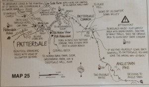
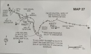
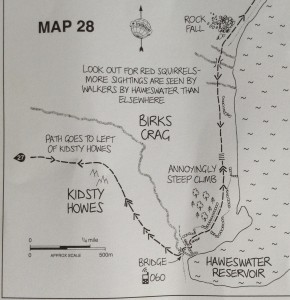
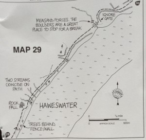
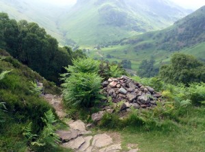
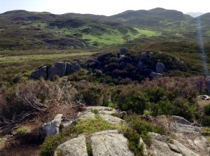
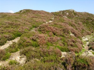
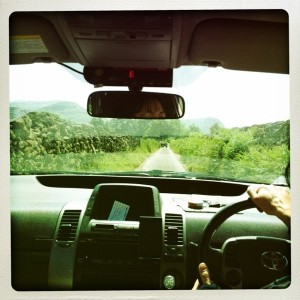
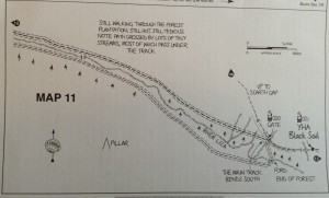
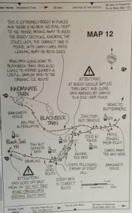
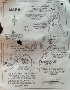
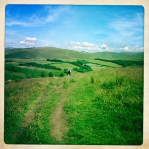
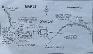
There were some more signs now for the Coast to Coast, but often there were a few different tracks of tamped down grass to chose from. It required careful checking of maps and still you could find yourself off track.

image


image

image


image


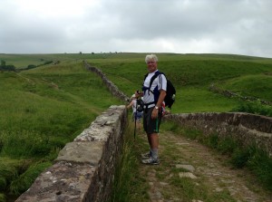
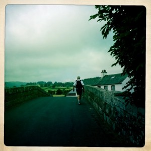
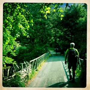
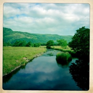
Tony on bridge

Tony on bridge

image

image

image

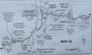
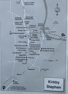
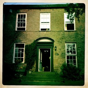
We had a bit a navigating to find our accommodations, but it was worth the extra walking.

The Manor House

The Manor House

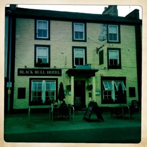
Black Bull

Black Bull

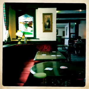
After we cleaned up we had a good dinner at the Black Bull.


Sunday July 14 – Bampton Grange to Orton (Tebay)

Woke up to mists on the hills outside our bedroom window. Weather says another warm sunny day for our mostly flat walk to Orton, actually our B & B is in Tebay. Downstairs the smell of breakfast cooking was a delightful aroma of fresh toast, fresh eggs, bacon and sausage. Table also has yogurts, fresh chopped fruits, granola and cereals to chose from. Another yummy breakfast in the countryside.

image

Tony leaving Bampton Grange

Tony leaving Bampton Grange

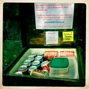
This box saved us yesterday. Huge Thank You to Thomas. We left 2.50 for our water. We walked passed it again Sunday morning on our way to Shap.

Thomas' Honesty Box

Thomas’ Honesty Box

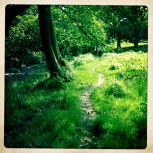
The footpath was lovely and green with a babbling brook running next to it.

The foot trail off the road from Bampton Grange

The foot trail off the road from Bampton Grange

image

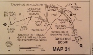
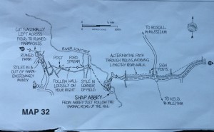
We really had to watch the map closely, as it was easy to get off track. Signage is still spotty for the Coast to Coast. There are quite a few footpaths leading  to towns with charming names. We noted landmarks like the Packhorse Bridge to help us stay on route.

PackHorse bridge

PackHorse bridge

image


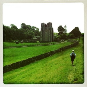
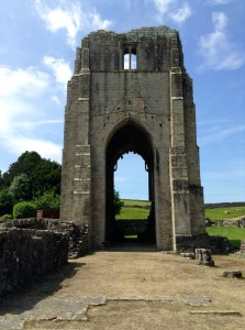
Tony walking down to Shap Abbey - built around 1200

Tony walking down to Shap Abbey – built around 1200

image

Road from Shap Abbey

Road from Shap Abbey

image


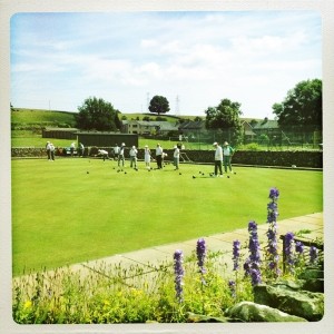
Lawn bowling in Shap

Lawn bowling in Shap


image

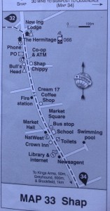
Checking the map again.

Checking the map again.

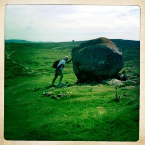
Tony  and the boulder. He stopped it as it was rolling wildly downhill.

Tony and the boulder. He stopped it as it was rolling wildly downhill.


image


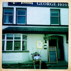
In front of The George in Orton

In front of The George in Orton

Our twelve mile mostly flat walk was actually about 16 miles with a climb of over 1,500 feet. Most of it was on grassy trails, so my poor feet were grateful not to be continually climbing on rocks. The weather was fine with a cool breeze most of the day. Lovely hiking weather!

Saturday July 13 Patterdale to Bampton Grange

Saturday morning was once again a beautiful sunny day. Another very good breakfast and we were back out on the road. This turned out to be the hardest day on the route for me. It was just a hair under 17 miles, 2,760 foot climb, and we were 9 1/2 hours enroute. What made it difficult for me is with that climb we had what was described as a “gnarly” descent.  I was shaking in my boots quite literally and scooting down rocks, scree, and bog on my butt in many places.

image


It was just a short walk down the main road of Patterdale which in one spot by the White Lion is only one lane wide. A left turn and we were walking down a lane, over a bridge, and immediately started to climb.

Leaving Patterdale

Leaving Patterdale

Tony on the bridge heading to the trail

Tony on the bridge heading to the trail

View of Patterdale from bridge

View of Patterdale from bridge

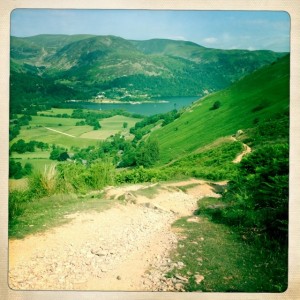
The views of the valley spread out behind us as we ascended.

Up hill right away

Up hill right away


image


Angle Tarn

Angle Tarn

Climbing back up hill after Angle Tarn

Climbing back up hill after Angle Tarn

Mary stopped on hillside so Tony could take pic.

Mary stopped on hillside so Tony could take pic.


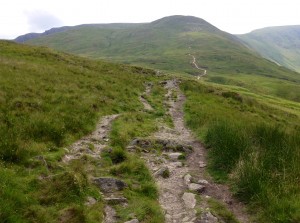
The route goes up hill.

The route goes up hill.

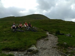
Mountain bikers mostly carrying their bikes up to ride down an old Roman Road.

Mountain bikers mostly carrying their bikes up to ride down an old Roman Road.


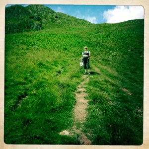
Tony waiting for me at crest of hill

Tony waiting for me at crest of hill


imageimageimageimage

Friday July 12 – Grasmere to Patterdale

Had a delicious breakfast with fresh eggs, homemade bread and currant jam. The coffee was rich and freshly brewed too! We again had an unseasonably hot and sunny day here. Much better than rain when you are climbing up and down slippery rocks.
Wolf and Nicola, fellow travelers, leaving Grasmere

Wolf and Nicola, fellow travelers, leaving Grasmere

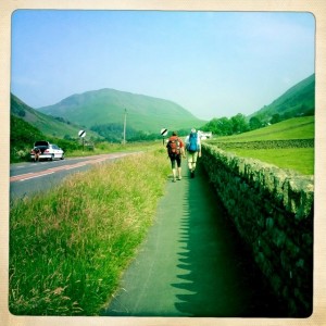
We headed out the front door of our B&B and made a right turn down the walkway along the road. We have met, passed,  been overtaken by, and chatted with many folks doing this route.
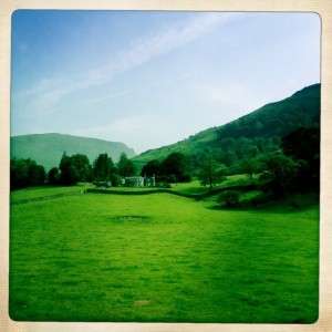
House along the road to our right

House along the road to our right

Another lovely homestead along the way. There was a quite impressive one to let nearby.
image

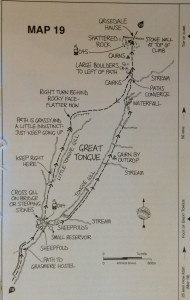
It was only a short walk along the road and then we turned right onto a bridle way that would lead us up to Tongue Gill and finally Grisedale Tarn.
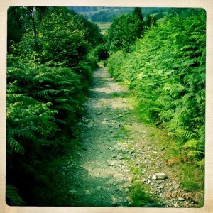
Foot path to Tongue Gill

Foot path to Tongue Gill

We took the less steep path up toward Grisdale Tarn, but even that was far from easy. Along the gill (ravine) in some places the path skirted the edge.
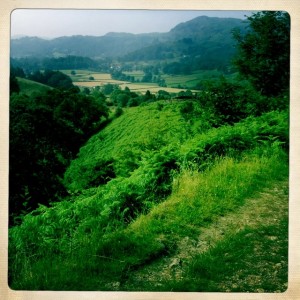
Along Tongue Gill- some parts had a very steep drop off the side

Along Tongue Gill- some parts had a very steep drop off the side

Almost all of the path was rock strewn.
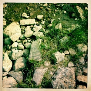
image

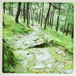
This is what the good path looks like

Parts of the way had wider paths with gently sloping sides. The views all around were gorgeous green hills, studded with rocks in places.
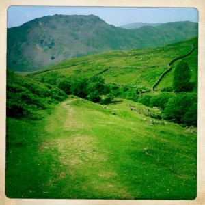
The good part of the trail

The good part of the trail

Tony outpaces me and so he would stride ahead and often come back or wait for me. Of course, I also stopped and took pictures too!
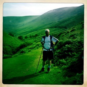
image

Tony on the trail

Both the gill paths eventually rich the top of Grisdale Tarn, but I thought less steep is better.
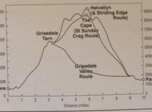
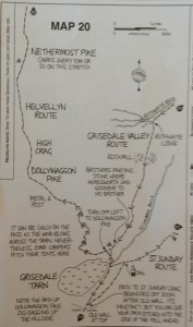
Our climb should just be to the 2,000 feet level.

Our climb should just be to the 2,000 feet level.

Although this was the less steep route, some parts of the path climbed pretty quickly up.
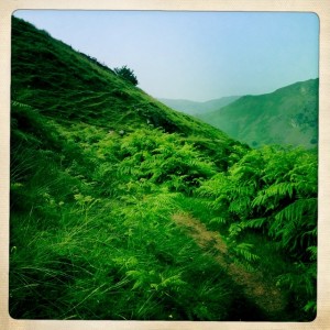
The path is that brown bit at a fairly steep slant

The path is that brown bit at a fairly steep slant

There were stone walls along some sides of the Tongue Gill and I wanted to sing for joy when I walked along them. I give great thanks to the hard labor that built them. I do like a wall or fence between me and a drop onto rocks below.
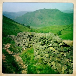
The stone walls were built to keep the sheep from committing suicide - I really liked them.

The stone walls were built to keep the sheep from committing suicide – I really liked them.

Some parts of the path required I use my hands to clamber over. Tony negotiated many with just his one pole. His other pole was destroyed in the climb up Loft Beck.
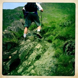
Tony climbs up steep rocky path

Tony climbs up steep rocky path

Looking in the distance, you could see that the climb continued for quite a ways.
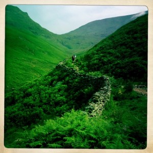
We climbed up for quite some time

We climbed up for quite some time

Looking back you could see how far you had come up from the valley behind you.
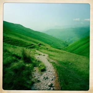
Looking back into the valley from whence we came.

Looking back into the valley from whence we came.

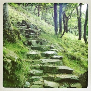
There were two sections that had slabs of stone creating a sort of steps up. I can’t imagine how slippery and awful it would be to climb them in the rain. Yeah sunshine!

The work and effort to create these steps boggles my mind. Did they throw them down from above or have to carry them up? A heroic effort was certainly needed.
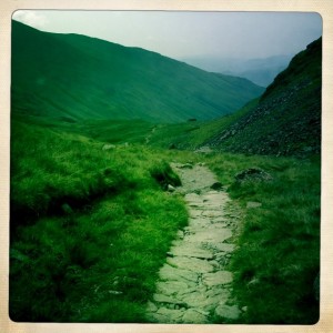
Some parts had stone sort of steps. It was steeper than it looks.

Some parts had stone sort of steps. It was steeper than it looks.

The closer to the top the rockier and steeper the path became. I used my poles and often just scrambled up on hands and feet, not daring to look down. This wasn’t as scary as Loft Beck, but I was very glad when I got to the top
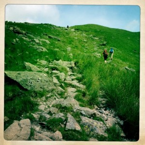
It got rockier towards the top.

It got rockier towards the top.

Even intrepid Wolf was using his hands to get up.
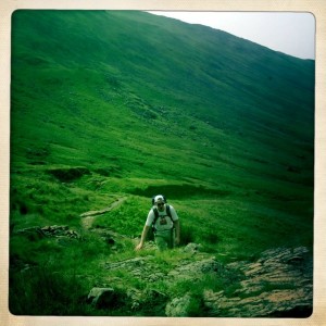
Wolf almost at the top. Need to use your hands to get up near the top.
Wolf almost at the top. Need to use your hands to get up near the top.

image


I think Tony was also glad to be done climbing up. It was hot sweaty work and there is no shade.
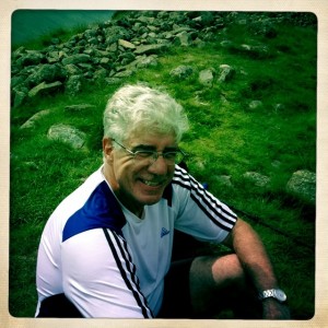
Tony at Grisdale Tarn

Tony at Grisdale Tarn

Instead of Striding Edge or some other hellish route, we chose the easier path down the valley to Pattersdale.
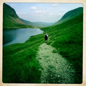
One the easier route down to the valley

On the easier route down to the valOf coups course

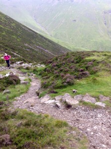
Of course even the easier path was not easy to me. It was often steep and scree strewn.
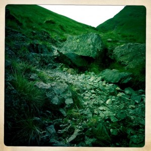
The easier path often looked like this..down hill

The easier path often looked like this..down hill

The slope from high above to below was often a slide of scree. They used cairns to mark the path because sometimes it might be hard to see.
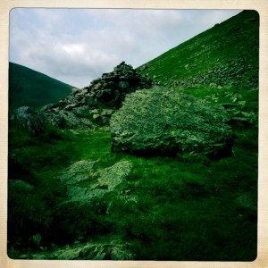
Cairns marked the path

Cairns marked the path

One of our tramarketers was this cottage. There was a waterfall behind it too.
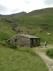


image

image

We did cross the little bridge the map warned us not to cross. However, we saw Wolf and Nicola on the other side and caught our error before we ended up climbing some death defying slope.
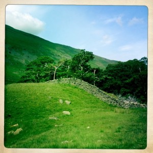
Stone wall enclosure of trees
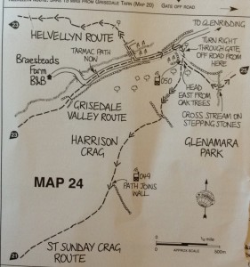
Stone wall enclosure of trees

image

This farm told us we were on  the right track. There were people out working with the hay baling as we walked by.
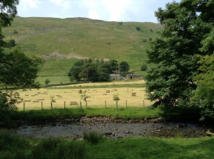
Hay bales on farm
Hay bales on farm

image


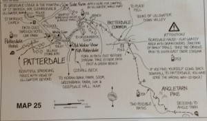
We stayed on the paved single lane which took us the village of Pattersdale. It has some places to stay and a pub. Lots of baaing of sheep in the pastures all around.
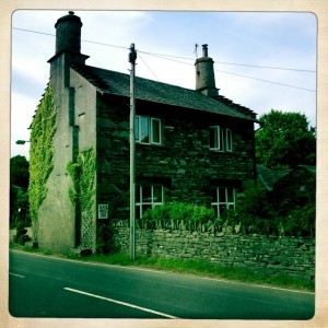
Our B & B - The School House

Our B & B – The School House

We walked down the street to the White Lion for supper.
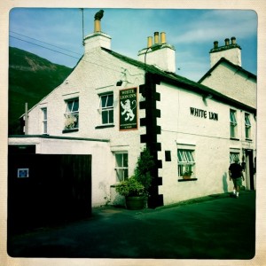
 

White Lion - pub in Patterdale

White Lion – pub in Patterdale

The pub
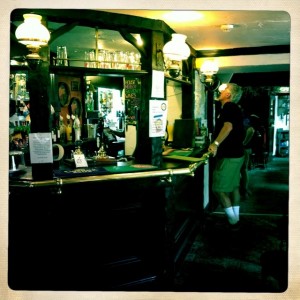
The pub

image

Tony ordering a cold pint, well earned.

After supper we headed back to The School House and passed the sheep in the fields across the street.  It is really quiet and peaceful here. What a wonderful way to see the nooks and crannies of a country – walking.
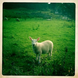
Sheep in field across the street from our B & B
Sheep in field across the street from our B & B
Thursday July 11 – Stonethwaite to Grasmere

I had a lovely sleep and slept later than usual waking up at almost 7:00. It was beautifully quiet in the tiny hamlet of Stonethwaite. Just heard birds singing and the baaing of sheep in the fields.

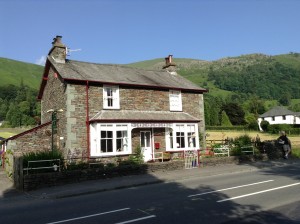
Stonethwaite Farm our B & B
Stonethwaite Farm our B & B
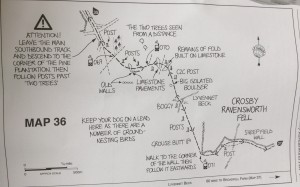
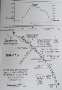
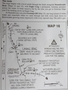
This was suppose to be our route.

image

According to the guide book it begins “with a level amble through the fields along Stonethwaite”, but that is not how it started for us…mores the pity.

Tony leaving Stoñethwaite Farm never realizing the immediate danger ahead

Tony leaving Stoñethwaite Farm never realizing the immediate danger ahead

We walked down the lane to where the path begins. I saw the signpost that said Grasmere and pointed to a level but gravel strewn lane alongside some sheep pasture. Tony saw a yellow arrow that pointed toward a godawful, steep, rocky, narrow, path that headed straight up. This is the way he said positively. I commented on the signpost that directed us the other way. i guess he wanted to get the horrid climb out of the way, or those of you that know Tony realize he is not one to take the easier safer route. Up we went, endlessly. I had sweat pouring into my eyes, heat and terror does that to me. In some parts I had to scramble on my hands and feet up masses of rocks which in many places resemble steps, but in others, not so much.

The path up where it looked like steps to the sky.

The path up where it looked like steps to the sky.

The really horrid parts of the climb I couldn’t photograph because I needed both hands on the rocks , or gripping my hiking poles, and my hands were so sweaty that the phone or iPad would smash its way down the rocks. No way I would venture down after them.

Standing on a more level spot - see the slope line to the right...the rocky path follows it down, down, down

Standing on a more level spot – see the slope line to the right…the rocky path follows it down, down, down

The view was really amazing. I took a moment to catch my breath and take a picture.

Climbing up from valley. Cairns mark the way, but here there was no other way, but up....unless you wanted to climb back from whence you came.

Climbing up from valley. Cairns mark the way, but here there was no other way, but up….unless you wanted to climb back from whence you came.

When we finally got to the end of these steps up, we followed a track that was rocky and boggy in parts and continued up.

image

The trail continues up on rocks in a marshy bog

It seemed after a hill crest you could walk a bit and the up you go again!

It seemed after a hill crest you could walk a bit and the up you go again!

After climbing some more, we came upon a lovely water lily bedecked pond. We saw some hikers. When I told them we were going to Grasmere, they said that we had a really long walk ahead of us. I thought, oh well, maybe to them it is far. We should be close to 5 miles away at the most.

Lovely pond with water lilies

Lovely pond with water they they

They were heading to Landsdale and went on ahead. After some picture taking and water we followed the lone track ahead. The views were breathtaking.

Beautiful vistas

Beautiful vistas

Eventually, the path seemed to descend. We were heading into a expansive green valley.

Pond/ lake in valley below with buildings

Pond/ lake in valley below with buildings

Again the path was rocky, marshy, and quite steep in some areas. My hiking poles have truly been a lifesaver. No picture can convey how quiet, peaceful, and lovely it was there.

Part of the path down

Part of the path down

We met a few people walking up on day hikes and they told me there was a tea shop below. We headed there. It took a while, but we finally made it to the valley. I had a very nice toasted ham and cheese. Later I also got a fresh scone.

Tea room

Tea room

The signs nearby said nothing about Grasmere, but gave directions to villages not on our route. I pulled out the maps and we couldn’t locate where we were. The brother and sister, fifth generation to have the Tea Shop, gave Tony some dreadful information.   READ HIS COMMENTS.

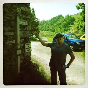
Mary by signpost at Watenlath which was literally the end of the road

Mary by signpost at Watenlath which was literally the end of the road

As usual, Tony took a fine mess and turned it into a lovely outing. Susie our fabulous cab driver took us to some famous spots in the Wythburn Valley And local area.

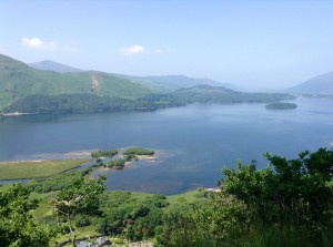
We stopped at Surprise View and saw Lake Derwent.

image

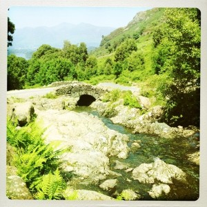
Another stop at Ashness Bridge.

Ashness Bridge

Ashness Bridge

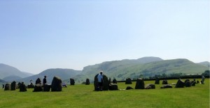
Our last stop before we headed to the West View Inn in Grasmere was to Castlerigg Stone Circles Which are over 4,500 years old. The setting is brilliant with views of hills all the way around. We also got an ice cream from an ice cream truck parked by the side of the road.

Castlerigg Stone Circle

Castlerigg Stone Circle

We drove along narrow one lane roads. At one point we were on a farm lane and a tractor pulled out. We did not play chicken. The farmer backed up into the field.

On the farm lane with Susie.

On the farm lane with Susie.


image

image

image

We arrived at our B & B tired and sweaty. We put in our miles, but not quite in the right direction. We had a delightful tour of the down, walk down the River Path, and ate a delicious dinner at a nearby hotel.
West View Inn in Grasmere with Tony

West View Inn in Grasmere with Tony

All’s well that ends well.

Wednesday July 10 – Ennerdale Bridge to Stonethwaite

Today we have a 15 or so mile walk. Not looking forward to the steep rocky climb up Loft Beck. Slept well, glad my sore muscles did not twitch and keep me awake.

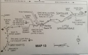
We ended up on the trail for 9 1/2 hours. I hikes almost 19 miles, and Tony did more with some backtracking. Our climb was about 1,700 feet. Rugged day.

image

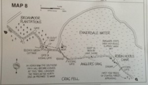
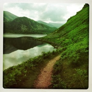
Tony tony directed us to the shorter route on the south side of the lake. My request has been and still continues to be to take the “easier route”.

Beautiful Ennerdale Lake

Beautiful Ennerdale Lake

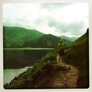
Tony on south side of Ennerdale Lake before it got ugly.

Tony on south side of Ennerdale Lake before it got ugly.

READ TONY’S COMMENTS

The southern path quickly climbed, narrowed, and loose gravel that slid underfoot. Tony went on ahead and was scrambling over rocks that looked out over a nice drop unto rocks below. We turned back and took the longer for easier northern trail. I man at the gate said most people take the north trail it may be longer , but it is faster.

image


Lovely part of trail north of Ennerdale Lake

Lovely part of trail north of Ennerdale Lake

Lake path climbing over rocks and this is the easier path.

Lake path climbing over rocks and this is the easier path.


image

image


image

The climb up Loft Beck was steep, rocky, and scary as hell. Once I started there was no going back. I just looked ahead a few paces, navigating the safest route, no way could I stop to take a picture. Sweat dripped in my eyes from fear and heat. I am sure,the views were amazing, but my eyes were firmly directed at about eight paces in front of me.

Hiker climbing up very slowly on Loft Beck

Hiker climbing up very slowly on Loft Beck

Mary and Tony after climb up Loft Beck

Mary and Tony after climb up Loft Beck

image


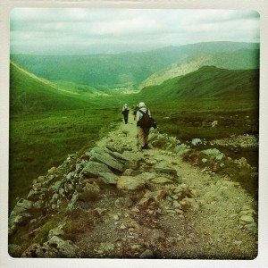
Hiking down from Grey Knotts on a rock strewn descent

Hiking down from Grey Knotts on a rock strewn descent

image

No wifi at out B & B in Stonethwaite. Need to go to sleep will post updates later.
 

July 9 St Bees to Ennerdale Bridge

We were on the trail for 8 hours and 15 minutes, I covered almost 16 miles and climbed 2,280 feet. It was beautiful, but challenging. Some of the trail pushed the edge of my comfort: too high, too steep, a drop off the edge, and some did all three.

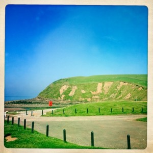
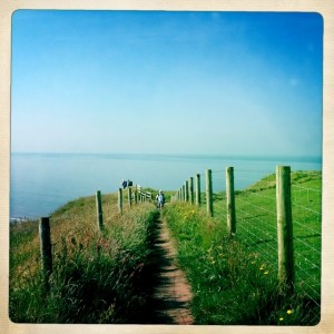
Start of Coast to Coast along cliffs by the Irish Sea

Start of Coast to Coast along cliffs by the Irish Sea

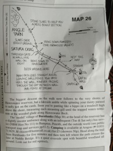
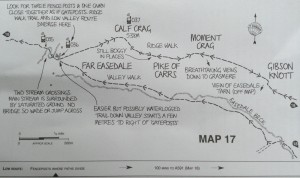
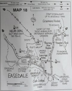
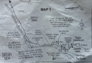
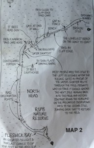
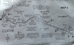
We used Henry Stedman’s book and I tore out the maps to use on the trail without the weight of the book. My copies were photographed after today’s use.

image

Some trails along coast had a fence

Some trails along coast had a fence

We walked  through pastures with sheep, goats, and cows

We walked through pastures with sheep, goats, and cows

image

Some paths were steep and no fence

Some paths were steep and no fence

image


After walking along the cliff edge without a fence, I was very glad to stop, take off my backpack, and have a some water. Even along the coast it was quite hot.


Signpost after the quarry and a steep climb along cliffs.

Signpost after the quarry and a steep climb along cliffs.


image

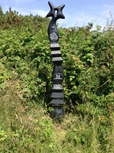
The Coast to Coast does not have the best signage. Without the detailed maps we used we could have easily gotten off course. The occasional signs letting us know we were on track were much appreciated.

Millenium Milepost

Millenium Milepost

image


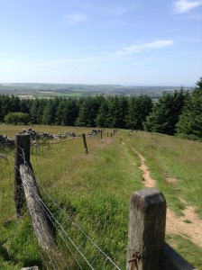
Part of route up to Dent Hill

Part of route up to Dent Hill


image

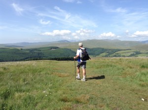
Tony at the top of Dent Hill

image


Gracefully climbing over Nannycatch Gate

Gracefully climbing over Nannycatch Gate

After climbing the gate the descent didn’t look too bad, but that quickly changed. Raven Claw is the steepest path of the whole trail. They say some people use a sturdy jacket and just slide down. Too hot for a jacket today so I prayed my ankles and knees would survive and slowly wade way way down. Too preoccupied to take a picture!

image

Tony at top of Ravens Claw…oh yes it was really steep

Looking back from the valley floor

Looking back from the valley floor

Looking forward toward the fords

Looking forward toward the fords

image


Monday July 8 – travel to St Bees

Today  was spent traveling to St Bees. We packed up …barely closed my suitcase, and took Virgin Train to Carlisle and transferred there to a local train to St. Bees.

It was an interesting walk to our B & B. Tony’s suitcase was leaking some strange blue liquid, and neither one of us remembered the directions.
 

Sunday July 7 Tony and Mary walk to the V & A

Once again we woke to sunny warm weather.  Tony had never been to the Victoria and Albert Museum so we chose that as our destination. I mapped out a route, but told Tony if he saw something he wanted to explore we could do that too. He definitely took me up on that offer.

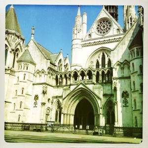
Royal Courts of Justice

Royal Courts of Justice

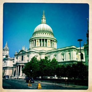
We headed west and passed St Paul’s Cathedral which chimed as we walked by.

St Paul's Cathedral

St Paul’s Cathedral 

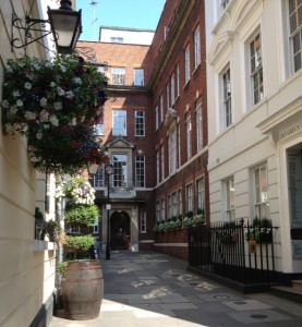
Tony took us down some side streets as we headed to Trafalgar Square.

Alleyway

Alleyway

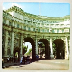
We walked under the Arch and down Pall Mall along the edge of  St James Park.

Arch

Arch

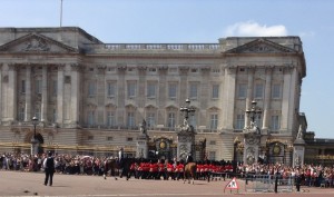
At Buckingham Palace we saw the changing of the guard.

Changing of the guard

Changing of the guard

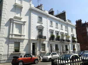
We continued through Green Park to Knightsbridge and walked along the Brompton Road with its shops. This is Tony’s idea of a hell realm….maybe only fourth level, but he took us off route. We walked through some rather posh areas.

Off Brompton Road

Off Brompton Road


At the V & A we enjoyed walking through some of the exhibit rooms, but our feet and bodies want to sit down at the cafe. It was lovely.

Quickish walk through, Tony hustling me rapidly through the gift shop, and out the door.

Once again, Tony took us on new routes which took us back to Buckingham Palace, down the Pall Mall, through Trafalgar Square. We headed south toward the Thames looking for a bit of a breeze and out of traffic.

Saturday July 6


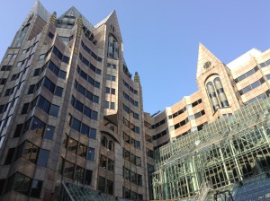
Saturday was quite warm in the city, so I took several shorter strolls looking for shady spots and a bit of a breeze. I ended up walking over ten miles, but never really travelled that far across town. Tony told me the City of London is just one square mile, but the roads, alleys, lanes, passageways, nooks, and crannies allow you miles of walking!

Walking in the City Square Mile - Gotham

Walking in the City Square Mile – Gotham

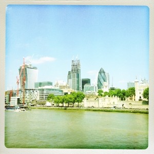
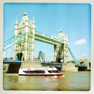
I crossed the Tower Bridge and walked about Southwark and by the wharf.

View from Tower Bridge

View from Tower Bridge


Tower Bridge

Tower Bridge

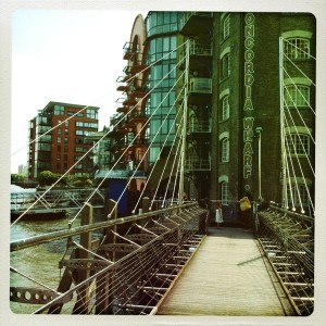
Southwark along the water was quite a bit cooler. Thames Path runs along here too.

Southwark

Southwark

I had a delicious lunch at the Chophouse along Butler’s Wharf.